


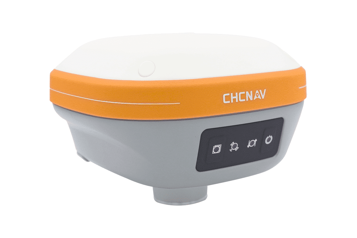


CHCNAV Alpha Air 9
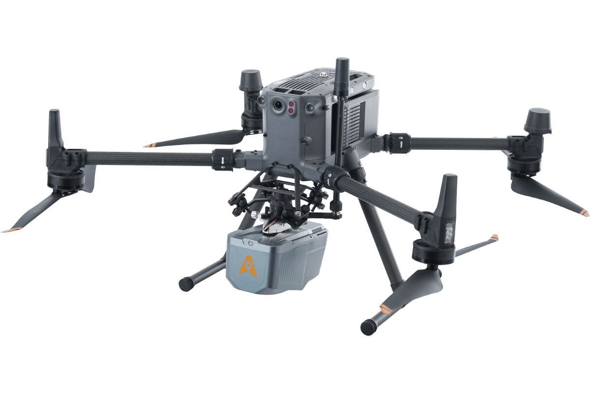
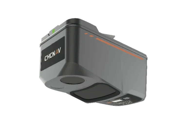
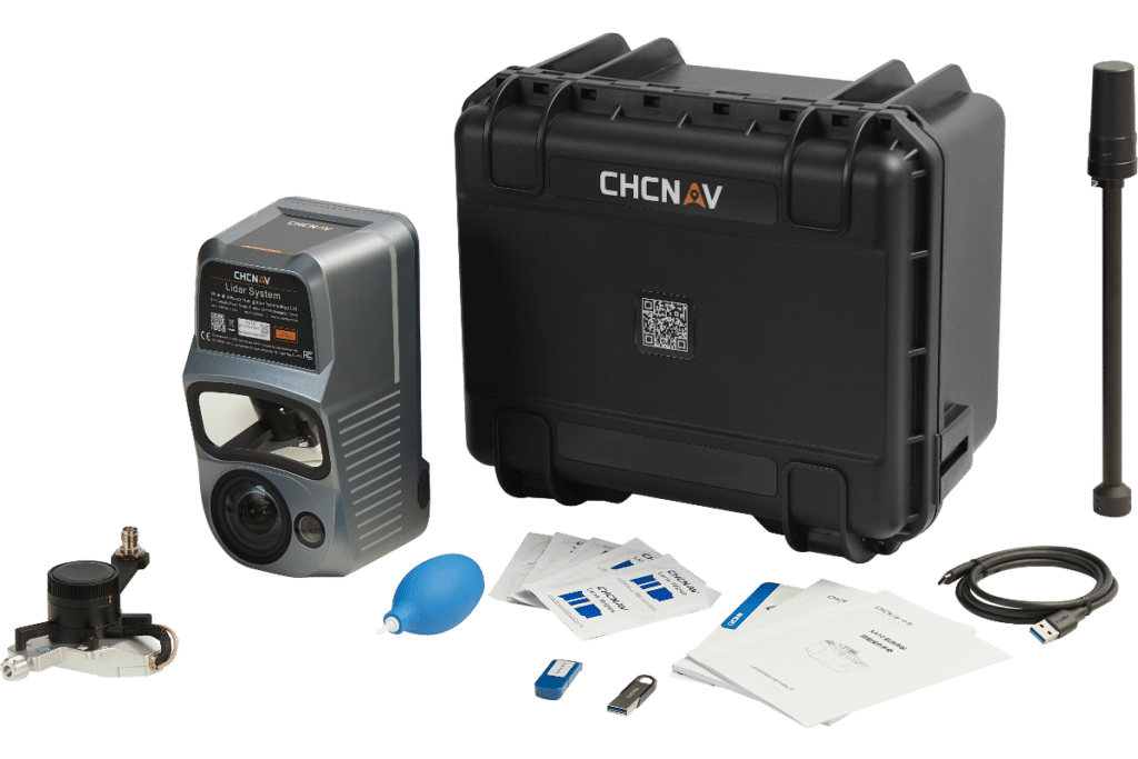
The CHCNAV AlphaAir 9 is an advanced aerial surveying solution that seamlessly integrates LiDAR and RGB, sensors to meet the needs of professional UAV LiDAR mapping and drone photogrammetry. Leveraging, CHCNAV’s cutting-edge LiDAR technology.

UAV Products

PRECISION AND ADVANCED SCANNING CAPABILITIES
UAV Systems
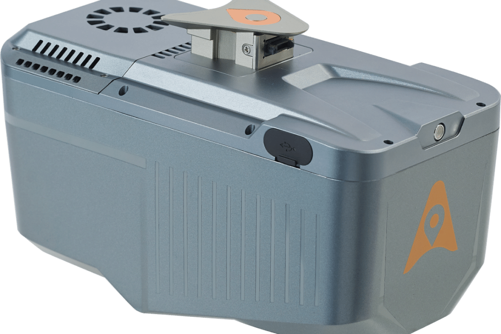
The AA9 flawlessly integrates high-precision LiDAR, accurate GNSS positioning, IMU orientation and an industrial-grade orthophoto camera.
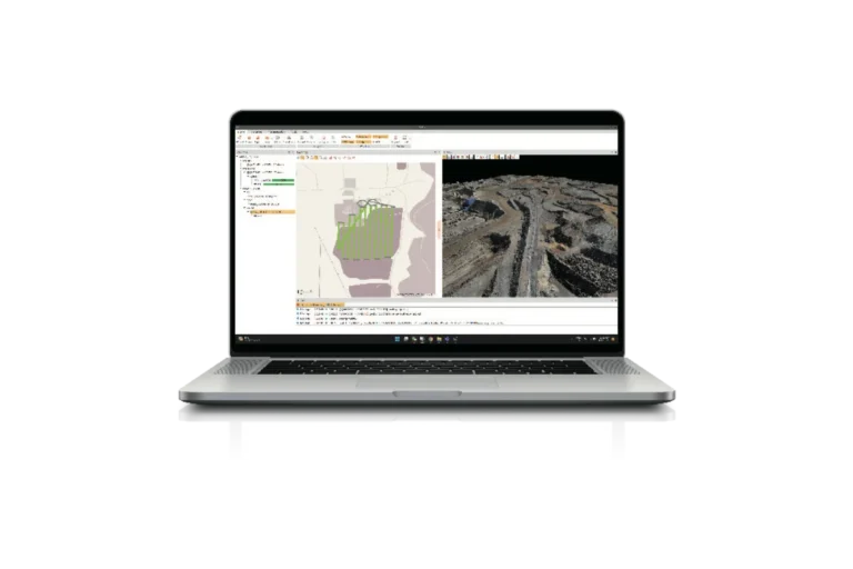
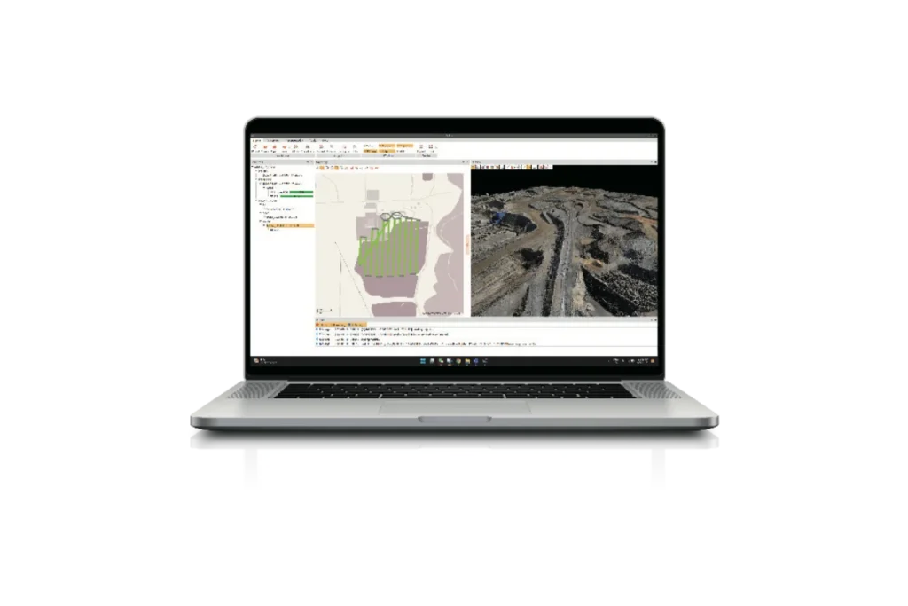
Combined with CHCNAV point cloud and image fusion modelling software, the AA9 provides a survey-grade, efficient and cost-effective approach to 3D data acquisition and processing.
The AA9 Airborne LiDAR + RGB System accelerates accurate 3D data collection within a single mission and simplifies the process of capturing 3D reality through a streamlined workflow.
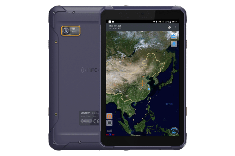
REAL-TIME DATA VIEW
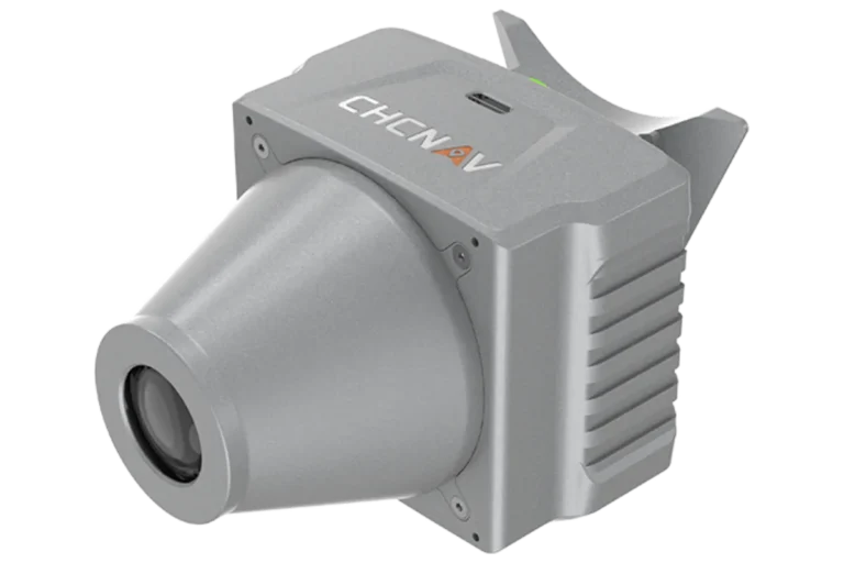
STATE-OF-THE-ART LIDAR
With the capability of long-range measurements up to 600m, rapid scanning at 500,000 points per second, and a continuously rotating mirror that enables scanning speeds of 250 scans per second, the AA9 enhances the detail of aerial mapping operations.
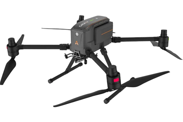
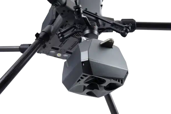
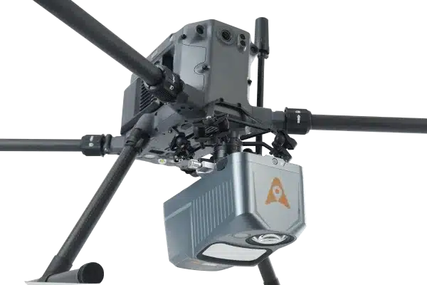
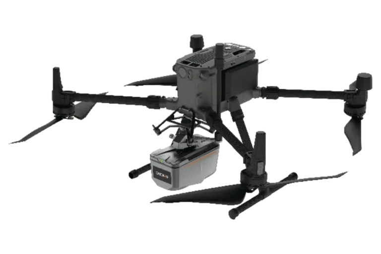
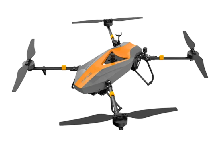
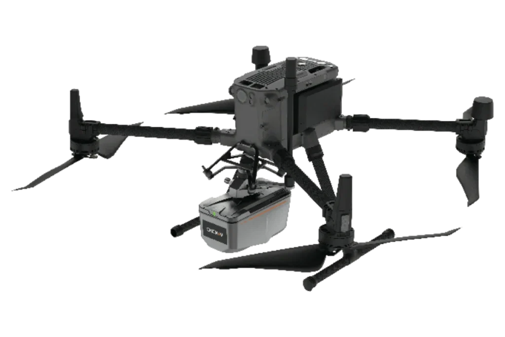
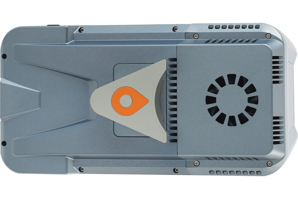
DESIGN FOR ANY UAV
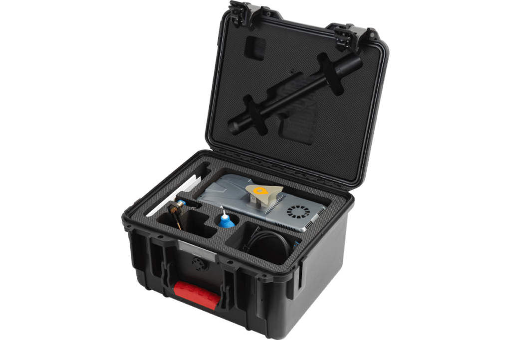
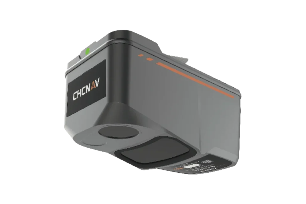
The AA9 LiDAR system is impressively lightweight and compact, weighing in at just 1.45kg and provides a 30-minute operating time when integrated with drones such as the DJI M350. The installation process is simplified with Alphaport’s convenient one-click connection to the UAV’s power source.
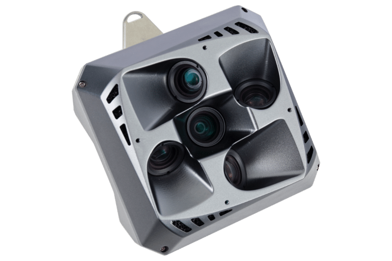
SEAMLESS DATA FUSION
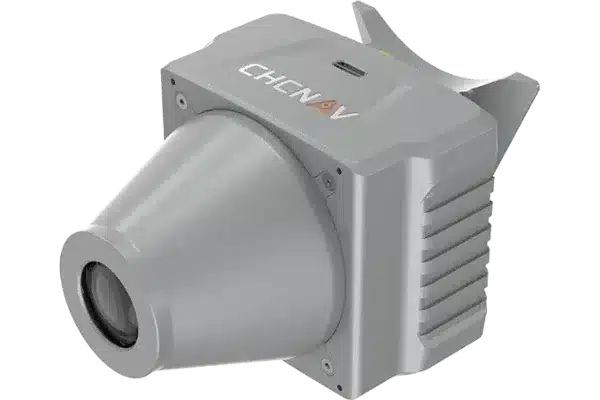
The AA9 accelerates the creation of mesh models by generating high-quality point clouds. Powered by a 26MP orthographic internal camera, the system provides high resolution image mapping textures for efficient 3D model reconstruction with realistic point cloud colourisation.
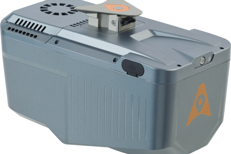
READY FOR ANY WEATHER
The AA9 IP64-rating ensures the system’s resilience, allowing it to deliver consistent, reliable performance in varying operating conditions.

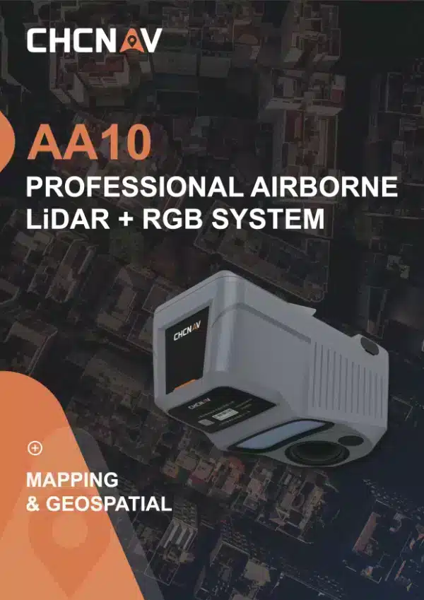
Airborne LiDAR such as the AA10 offer rapid data collection over extensive areas, capturing high-density point clouds with precise elevation data. This enhances the accuracy and efficiency of topographic mapping and environmental monitoring.
AA10 uses high-frequency laser pulses and precise GNSS/IMU integration to capture detailed 3D data. The data is processed with advanced algorithms to ensure accuracy and minimize errors in the final outputs.
The AlphaAir 10 is compatible with a wide range of UAVs, including the CHCNAV BB4 and DJI Matrice series, and other third-party platforms.
The AA10 utilizes multi-target capabilities with up to 8 target echoes, effectively penetrating dense vegetation to create accurate DEMs and DSMs.