


CHCNAV BB4 Unmanned Survey Drone
Datasheet
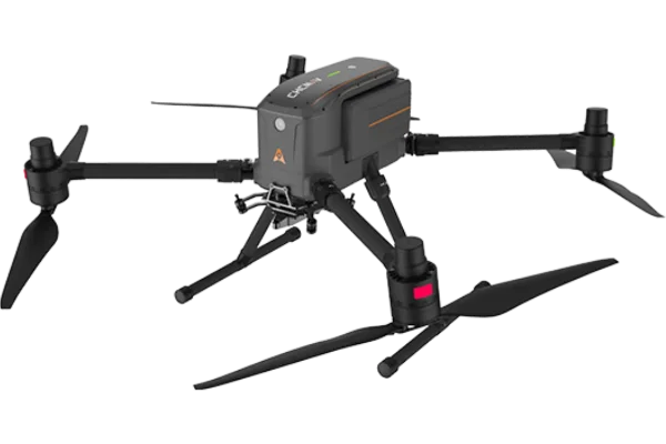
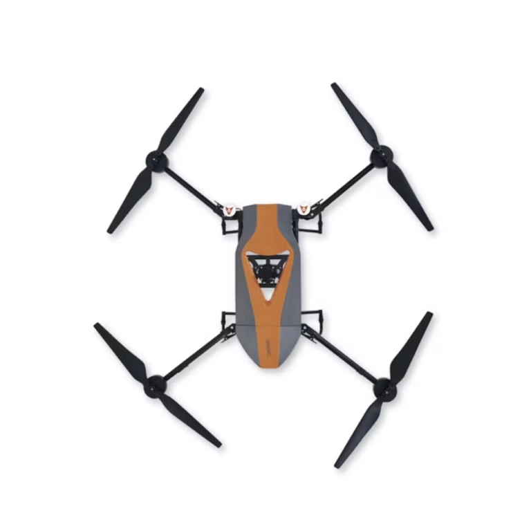
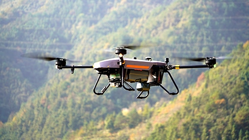
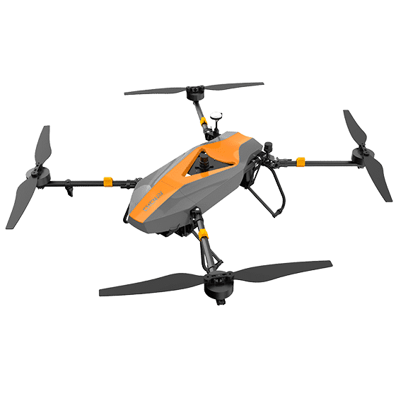
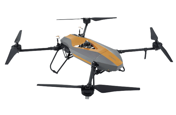
The CHCNAV BB4 is a professional-grade unmanned aircraft system (UAS) engineered for demanding applications. Its modular design, featuring pre-installed arms and antennas, enables rapid setup and deployment in just two minutes. Offering a flight time of up to 40 minutes with a 5kg payload capacity, the BB4 is perfectly suited for carrying advanced LiDAR systems and DSLR cameras. This capability allows for the efficient surveying of large areas in a single flight, resulting in the creation of comprehensive 3D point clouds.


UAV Products
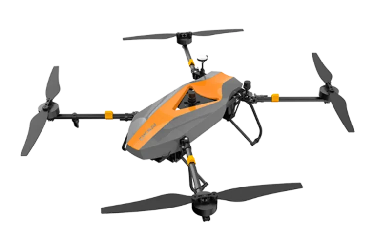

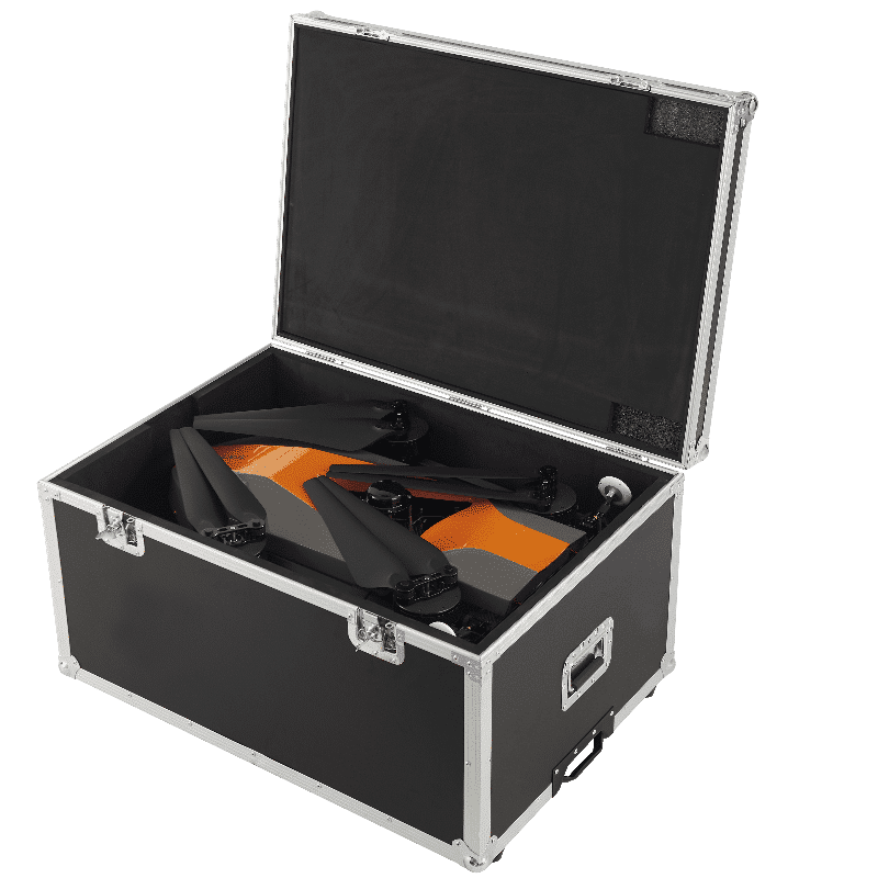
Rapid Setup and Deployment
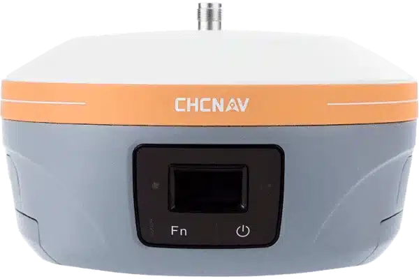
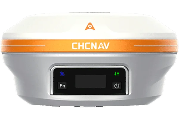
UAV Systems
Get airborne in just two minutes thanks to the BB4’s modular design and pre-installed arms and antennas, maximising operational efficiency.
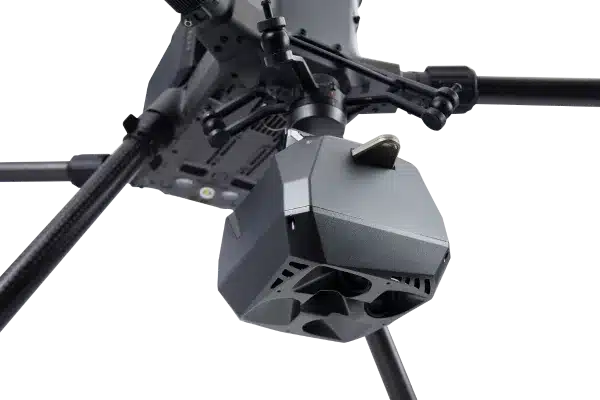
High Payload Capacity
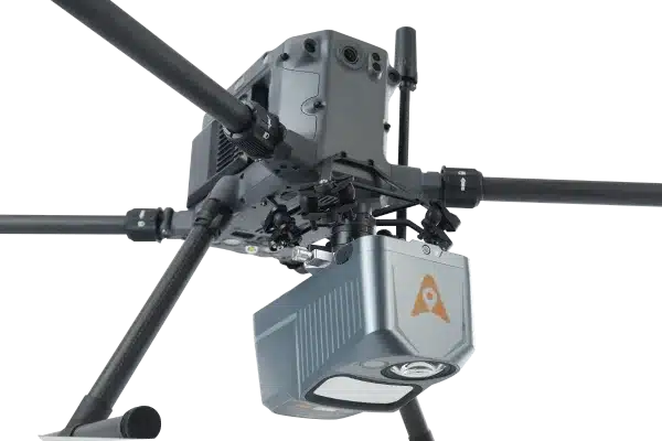
Carry up to 7 kg of equipment, including high-performance LiDAR systems and DSLR cameras. The BB4 supports a variety of mission requirements, from generating accurate 3D point clouds to conducting 3D photogrammetry.
Extended Flight TimeExtended Flight Time
Enjoy up to 55 minutes of flight time with a 1 kg payload and up to 40 minutes with a 5 kg payload, enabling extensive survey coverage in a single mission and boosting data collection efficiency.
Survey-Grade Accuracy
Ensure high accuracy with integrated GNSS units and dual DJI A3 IMUs. The BB4 meets the demanding requirements of the surveying and mapping industry, providing reliable and precise data.
Long-Range Operation
Operate at distances of up to 5 km with DJI Lightbridge 2, extending the operational range and ensuring reliable communication during long-range missions.
Intelligent Flight Software
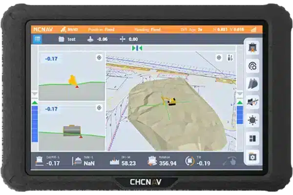
Utilise DJI Ground Station Pro (DJI GS Pro) for automated flight missions, data management, and collaboration. This intelligent software enhances the BB4’s operation, streamlining drone workflow management.
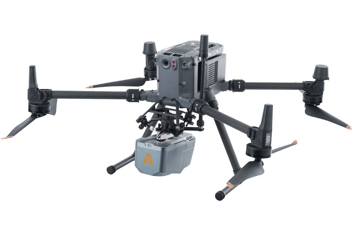
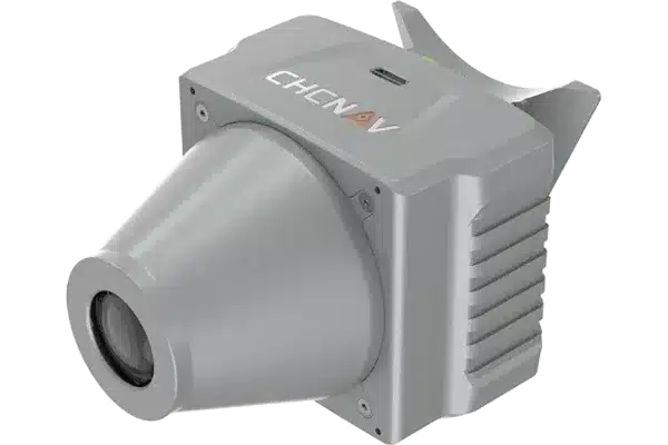
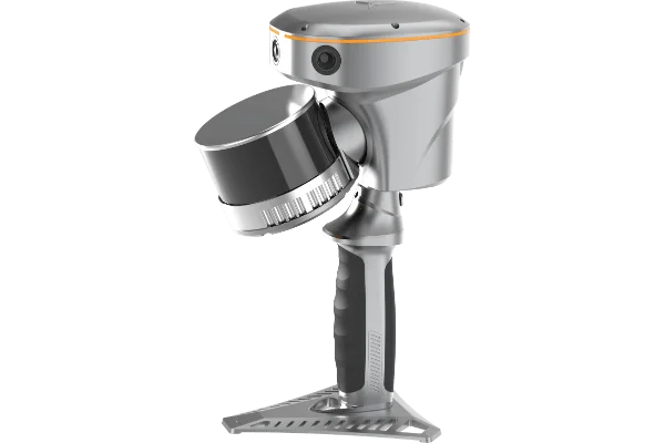
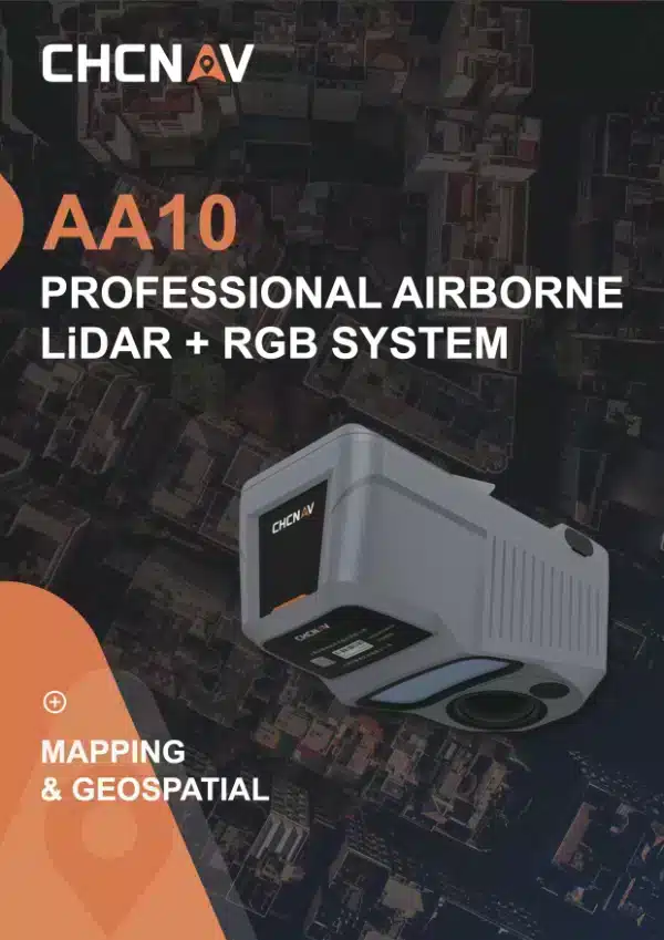
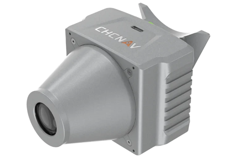
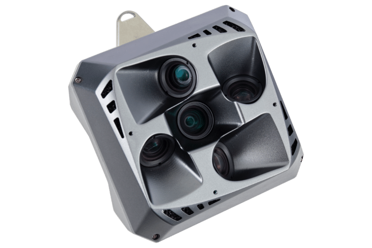
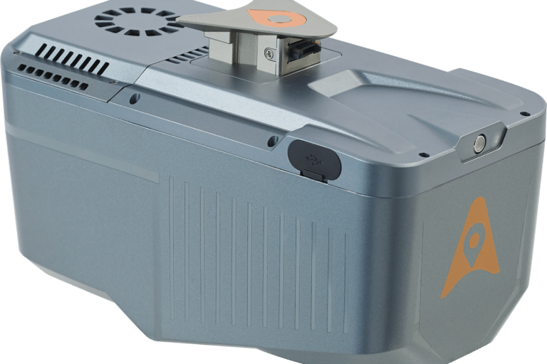
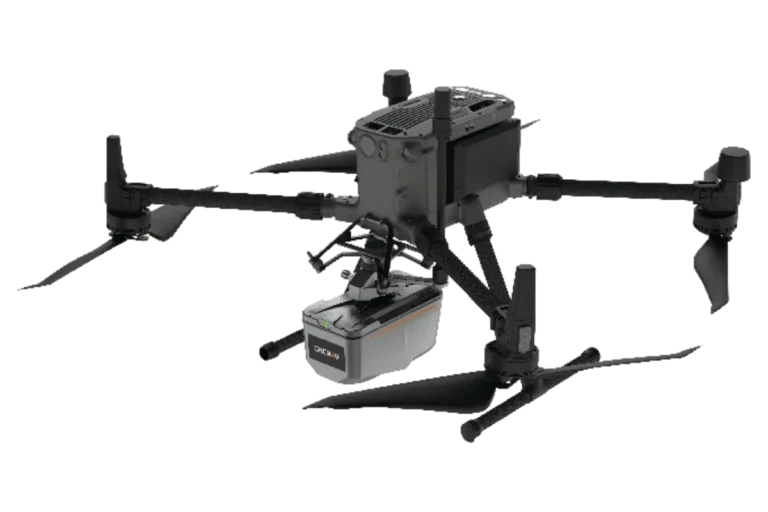
Airborne LiDAR such as the AA10 offer rapid data collection over extensive areas, capturing high-density point clouds with precise elevation data. This enhances the accuracy and efficiency of topographic mapping and environmental monitoring.
AA10 uses high-frequency laser pulses and precise GNSS/IMU integration to capture detailed 3D data. The data is processed with advanced algorithms to ensure accuracy and minimize errors in the final outputs.
The AlphaAir 10 is compatible with a wide range of UAVs, including the CHCNAV BB4 and DJI Matrice series, and other third-party platforms.
The AA10 utilizes multi-target capabilities with up to 8 target echoes, effectively penetrating dense vegetation to create accurate DEMs and DSMs.