


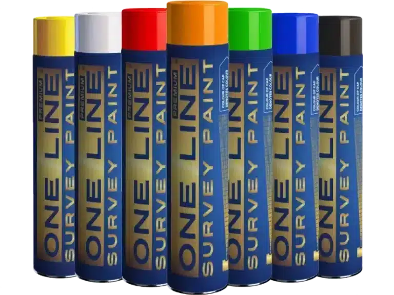

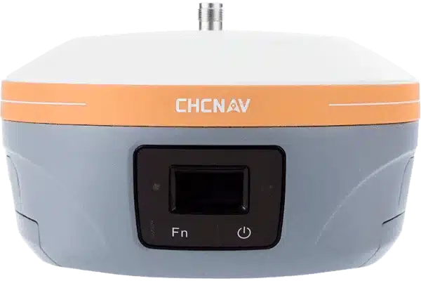
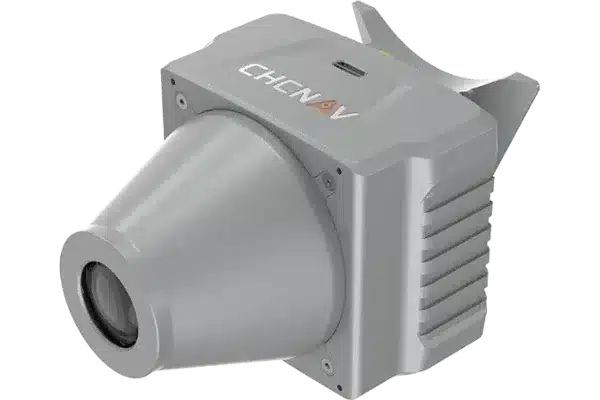

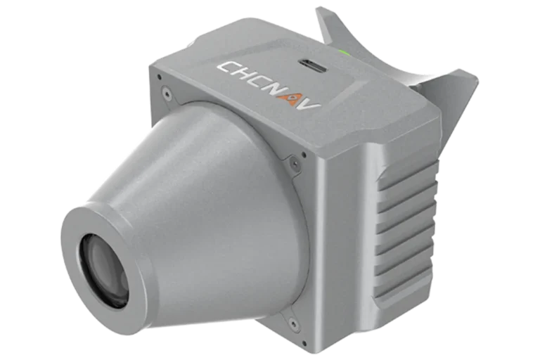
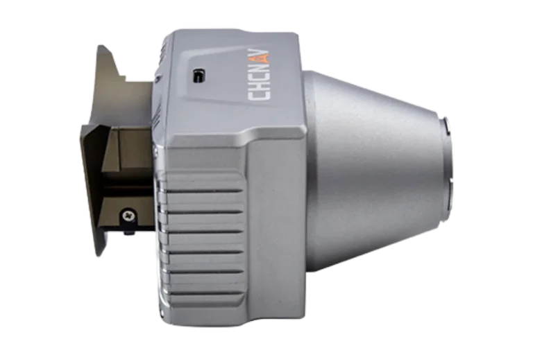
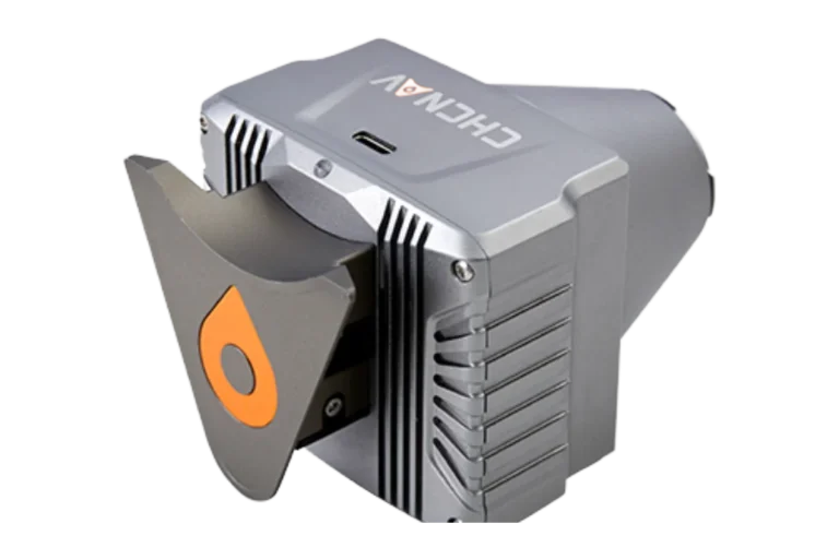
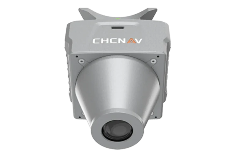
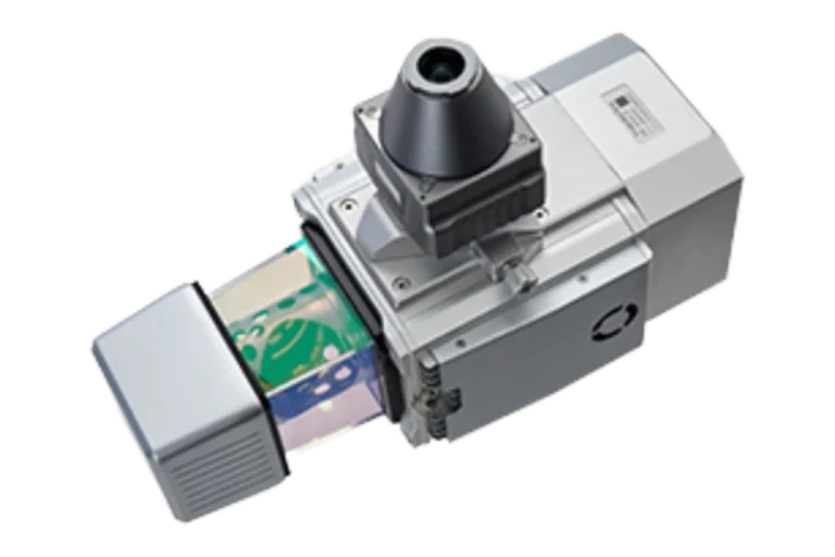
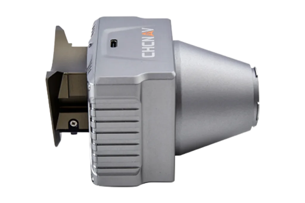
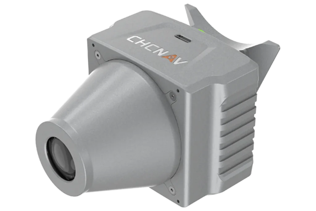
C5 Camera
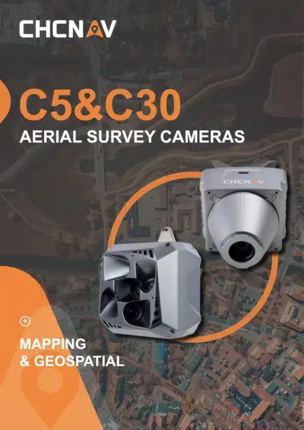
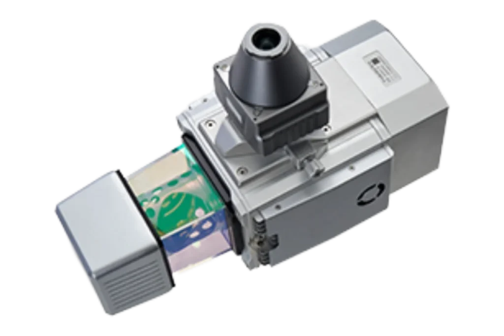
The CHCNAV C5 is an aerial orthographic camera system that delivers superior image quality for photogrammetric applications and LiDAR data enhancement. Featuring a full-frame, fixed-focus camera with a large sensor, the C5 system captures large areas in each shot, producing orthophotos with greater detail and accuracy. Its low distortion aerial survey lens significantly improves survey accuracy and ensures reliable results.
UAV Products

High-Resolution Imaging
UAV Systems
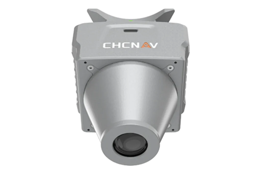
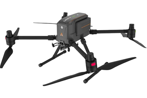
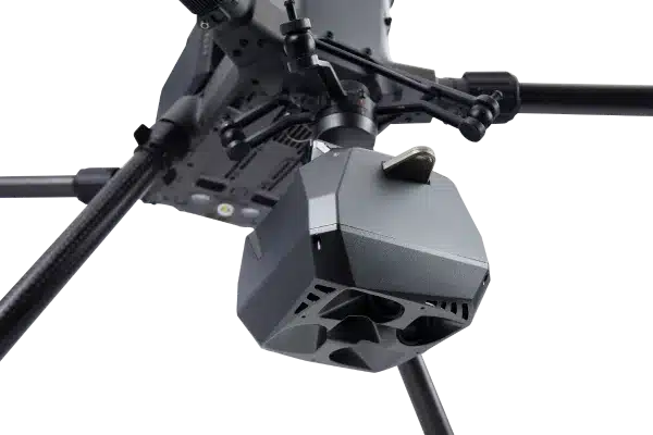
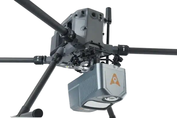
Compact and Lightweight Design
Weighing just 290 grams, the C5 enhances flight endurance and is easily integrated into various UAV platforms without compromising stability.
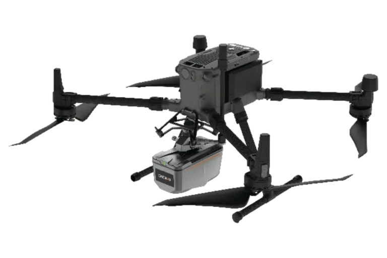
Wide UAV Compatibility
Efficient Data Transfer
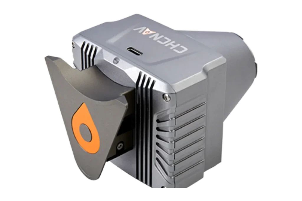
Equipped with 256 GB internal memory and a USB-C interface, the C5 offers a fast data transfer rate of up to 80 Mb/s, allowing for quick and reliable data access after each mission.
UAS cameras such as the CHCNAV C5 are used for capturing high-resolution aerial imagery from Unmanned Aerial Systems (UAS). They are essential for applications such as mapping, surveying, agriculture, construction, and environmental monitoring.
Yes, UAS such as the CHCNAV C5 cameras are designed to perform reliably in various environments, including harsh weather conditions, rugged terrains, and remote areas, ensuring continuous and accurate data collection.