


CHCNAV CoPre Lidar Data Processing Software
CoPre is a powerful software ecosystem developed by CHCNAV that enables users to process mobile geospatial mapping data quickly and efficiently.


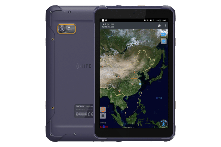
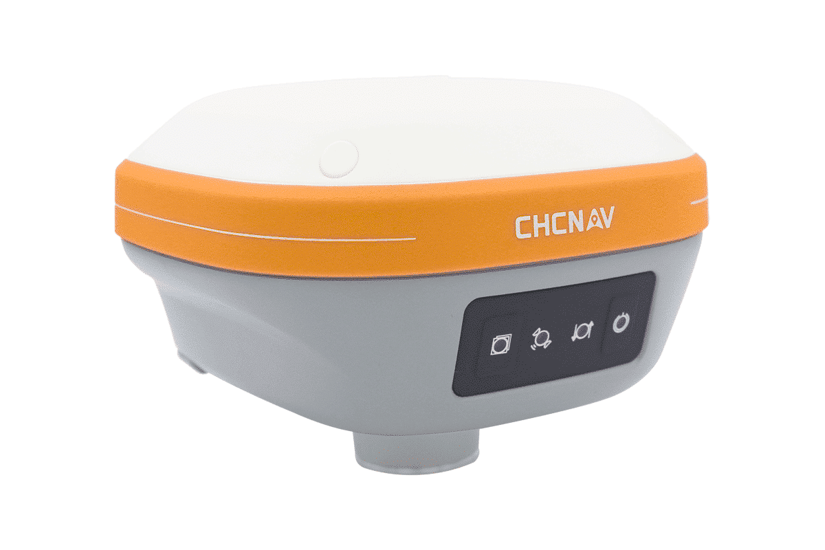
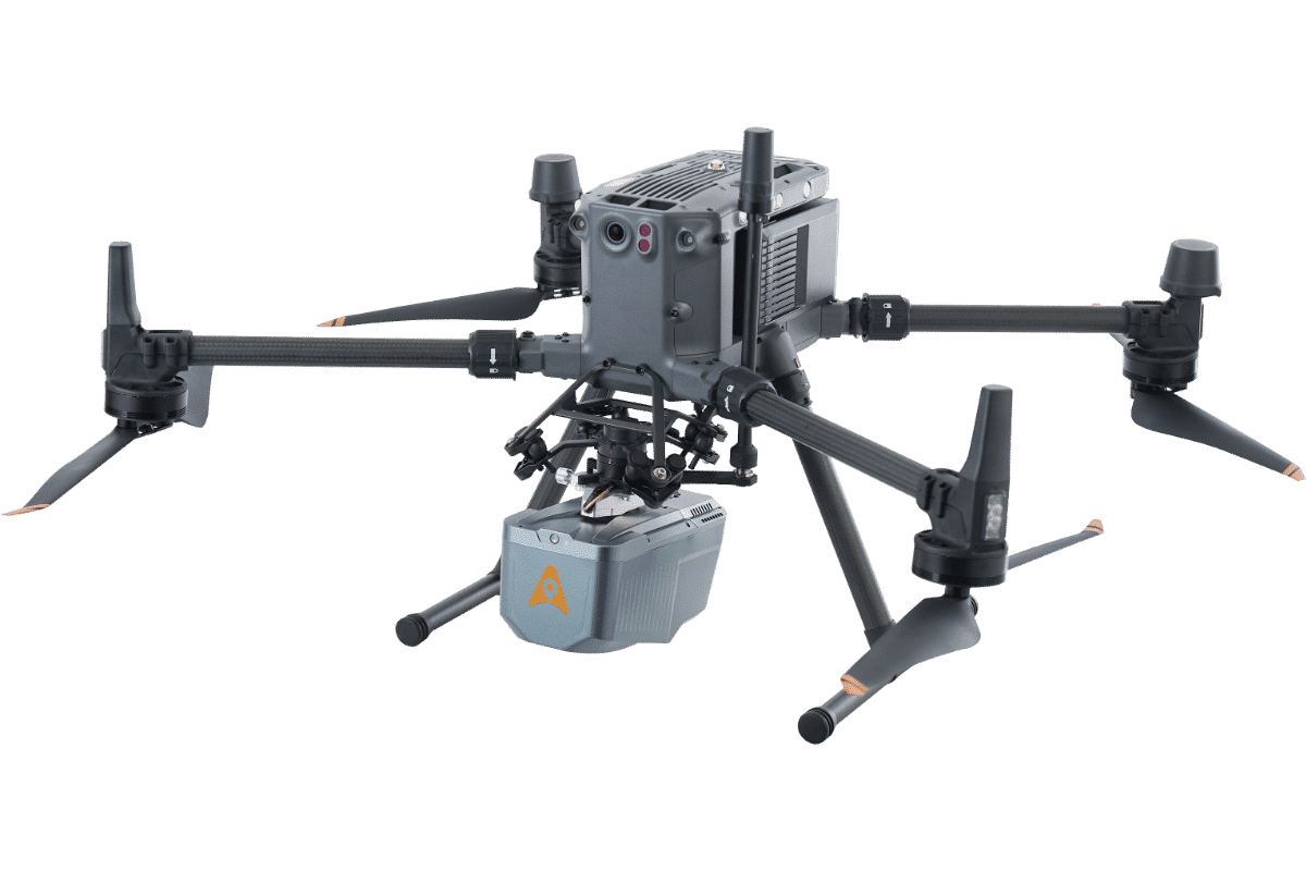
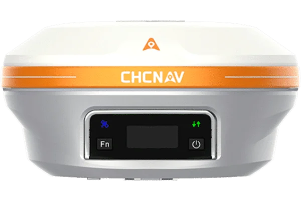
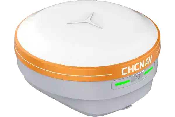
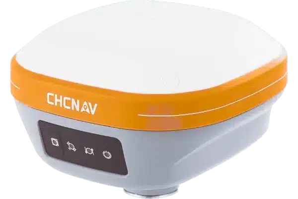
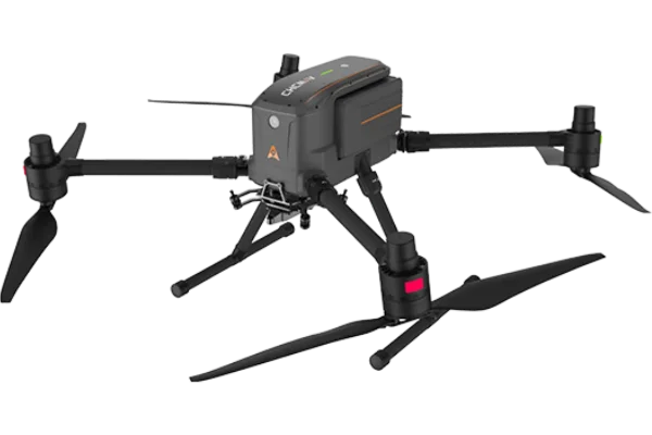
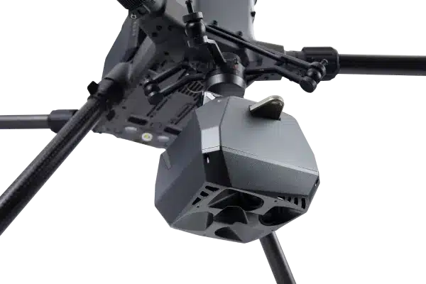
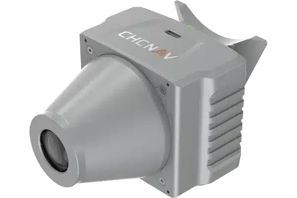
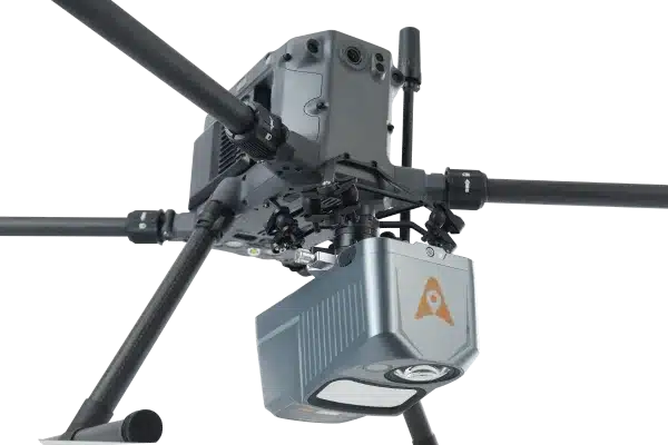
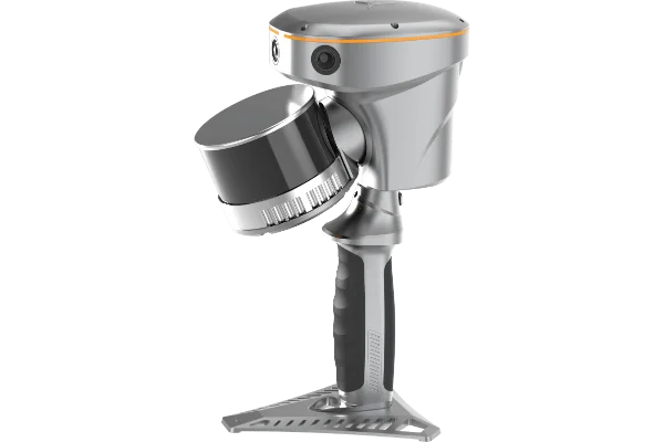
SUPPORT ALL CHCNAV's LiDAR SCANNERS
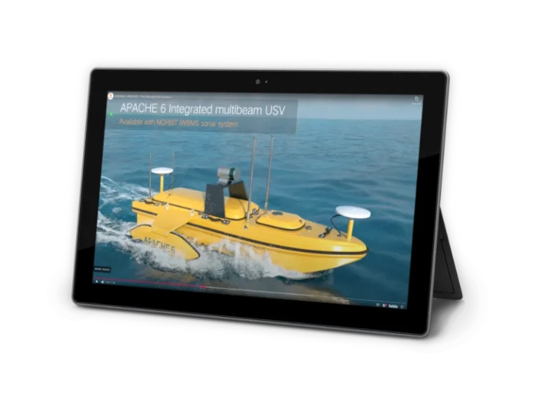
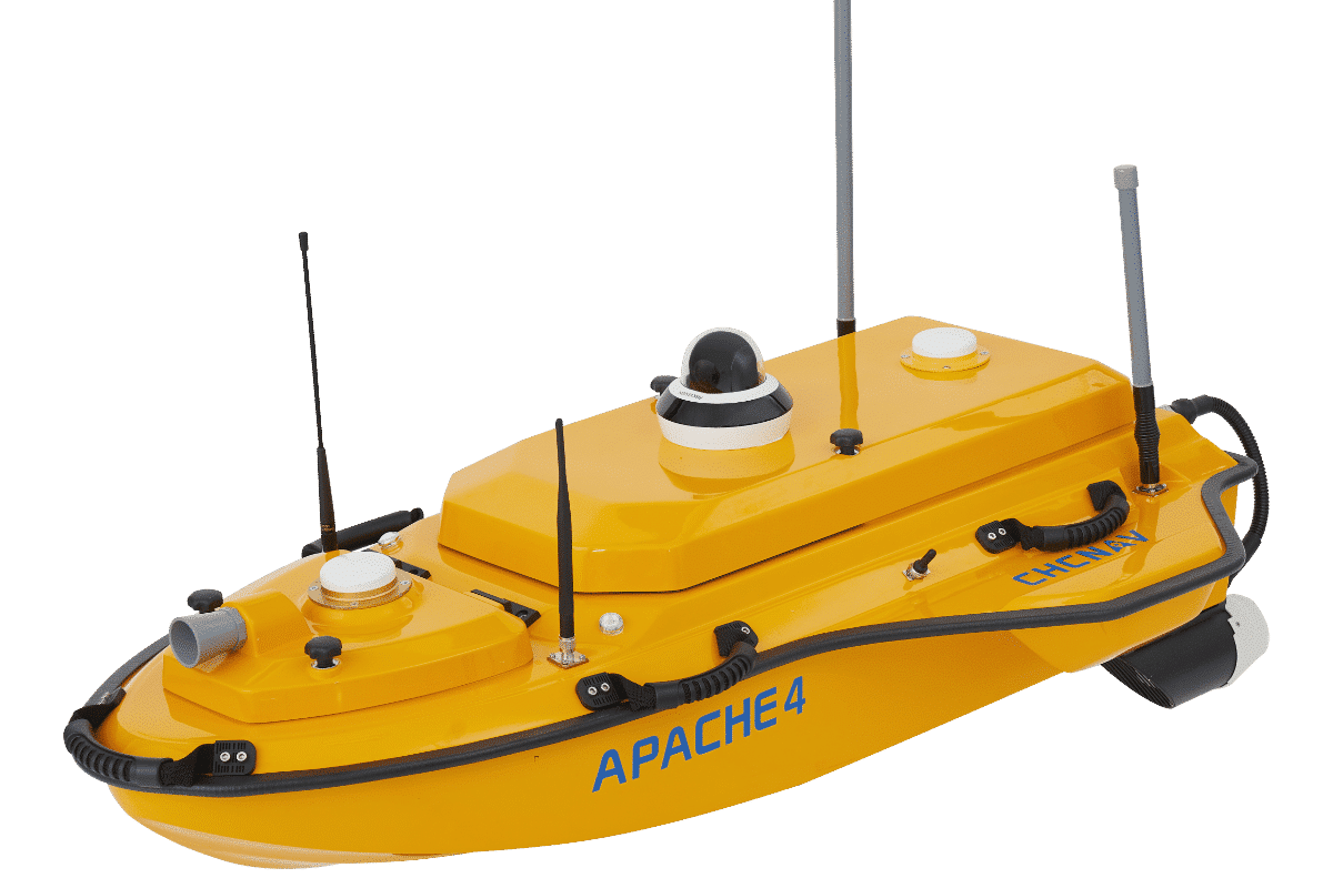
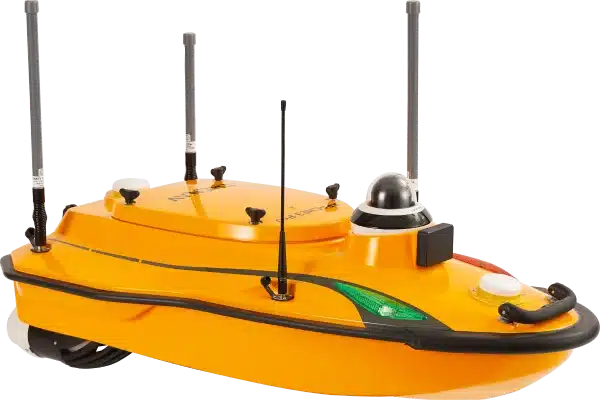
Marine Systems

EXTREME LIDAR DATA QUALITY
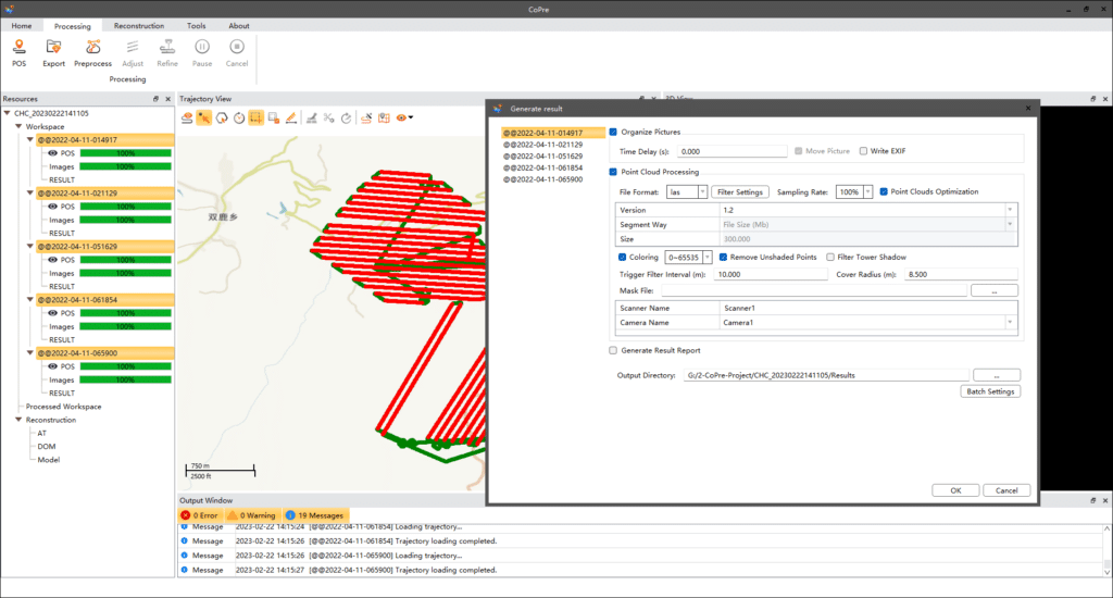
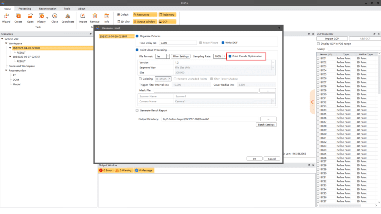
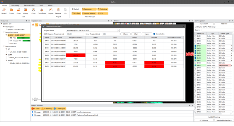
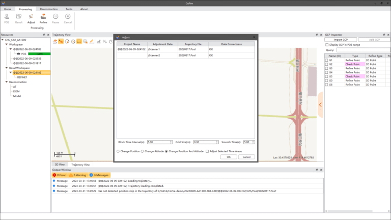
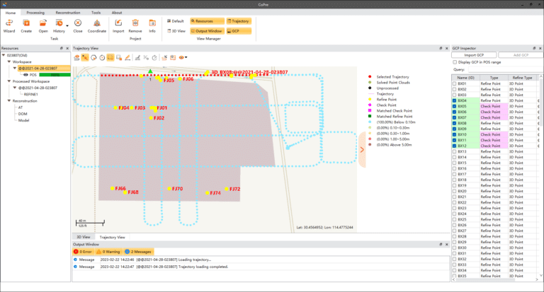
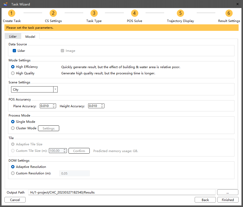
For experts searching to optimize their data quality further, CoPre features an advanced processing mode. It handles the layering problems of multiple point clouds and improves relative accuracy through an efficient strip adjustment algorithm. Additional use of ground control points (GCP) is available to improve the absolute accuracy of the point cloud. The advanced calibration and optimization technology results in a point cloud thickness that is 30% less than similar products provided on the market.
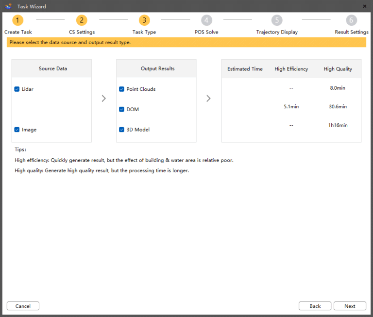
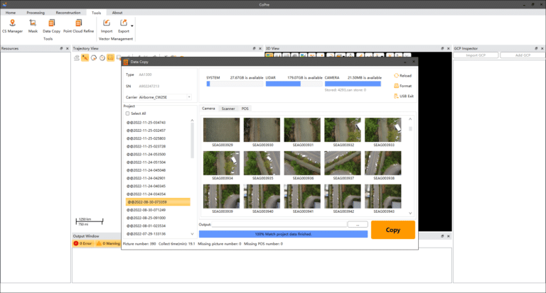
COMPREHENSIVE PRE-PROCESSING WORKFLOW

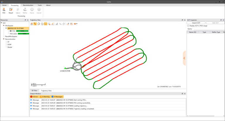
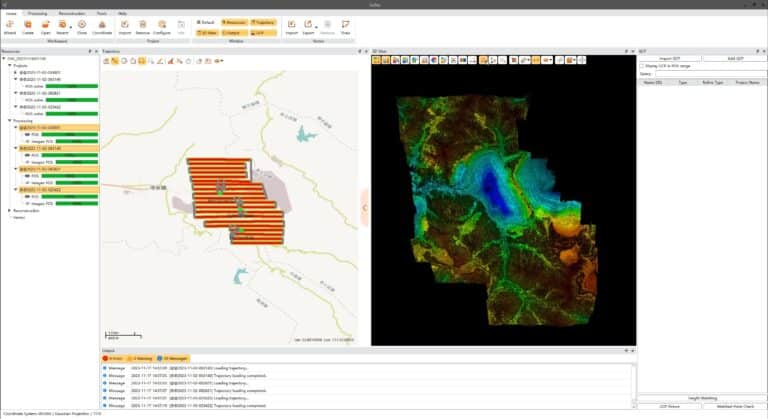
EFFICIENT LASER SCANNER DATA ANALYSIS
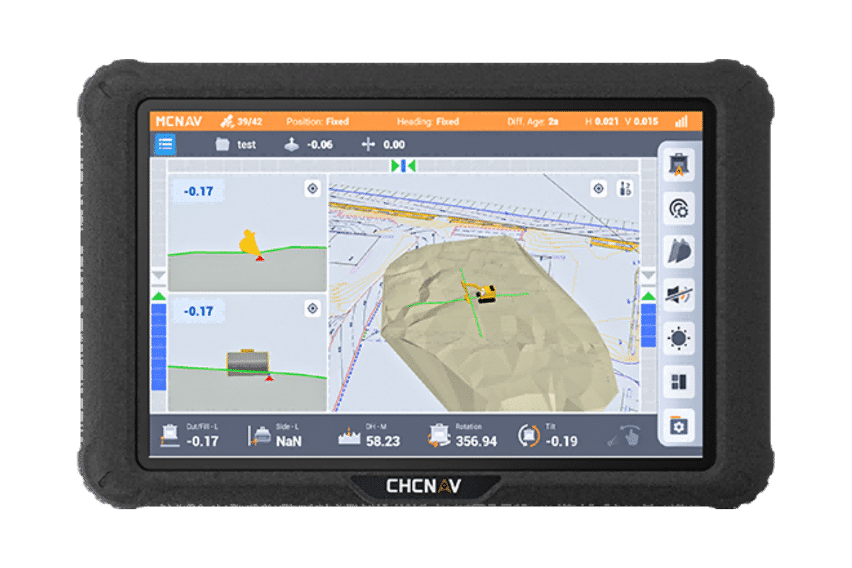
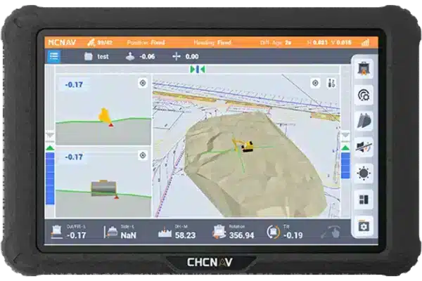
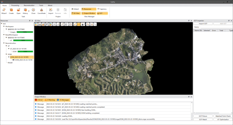
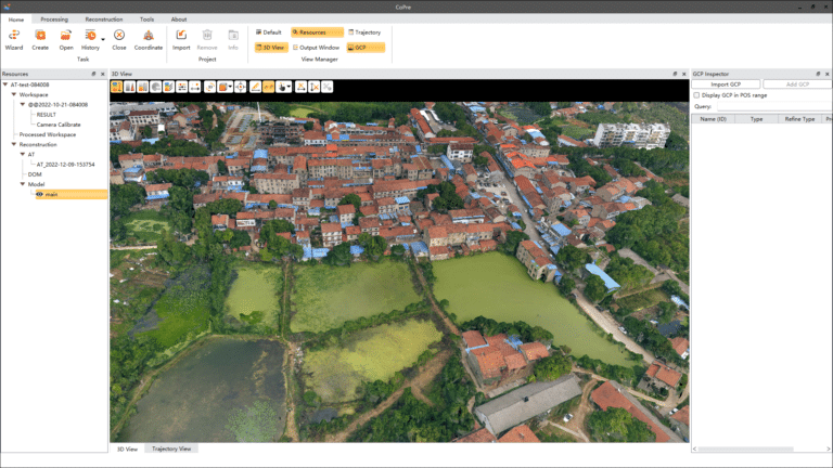
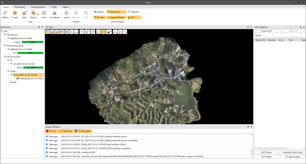
CoPre includes different powerful options to check the data after the processing steps. It supports massive data set visualization with multiple colorization options. Its automatic trajectory slicing and stratification checking allow quick detection of misalignments across the entire data set. Elevation accuracy can be automatically verified by importing elevation control points. Multiple accuracy reports are available to address quality control requirements.