CHCNAV Easynav
Discover firsthand how the CHCNAV EasyNAV eMG100 defines simplicity and precision. Known as the simplest high-precision 3D excavator system in the industry, it is designed for seamless integration and unparalleled ease of use. With just one click, operators can activate the system, view real-time work statistics, and achieve accurate, one-pass excavation, boosting productivity and minimizing downtime.
Introducing Easy NAV
The World’s Simplest 3D Excavator System
The EasyNav Guidance System for Excavators integrates advanced GNSS receivers with durable IMU sensors to precisely track the bucket tip’s position. This accuracy enables direct digging to target surfaces, minimising reliance on traditional survey methods. By streamlining operations, EasyNav enhances productivity and cost efficiency, allowing projects to be completed more quickly and economically.


watch the chc easynav in action
Watch the CHC EasyNav in action as it demonstrates its user-friendly interface and seamless operation in real-world excavation projects. This hands-on showcase highlights its ease of use, precision, and efficiency, allowing operators to see firsthand how the system enhances productivity and streamlines workflow in the field.
increase productivity, accuracy and precision
The EasyNav system streamlines excavation by reducing manual measurements and adjustments, accelerating the process and optimising workflow. By minimising rework and fine-tuning, it shortens project timelines and maximises machine uptime. Leveraging high-precision GNSS positioning with full GNSS constellations and advanced IMU sensors, EasyNav delivers real-time data, reduces human error and over-excavation, and ensures accurate alignment, depth, and slope for superior results.


Real-time updates
Over-the-air (OTA) updates ensure the system stays current with the latest features and improvements, while the MCSite cloud platform facilitates remote troubleshooting and data synchronization. This combination minimizes downtime and maximises operational efficiency.


Videos
Single, double or roof slope explained in more detail
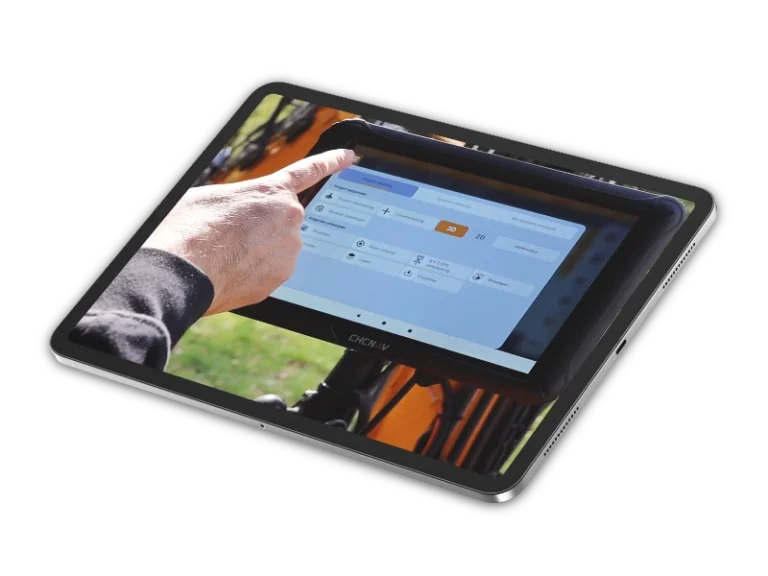
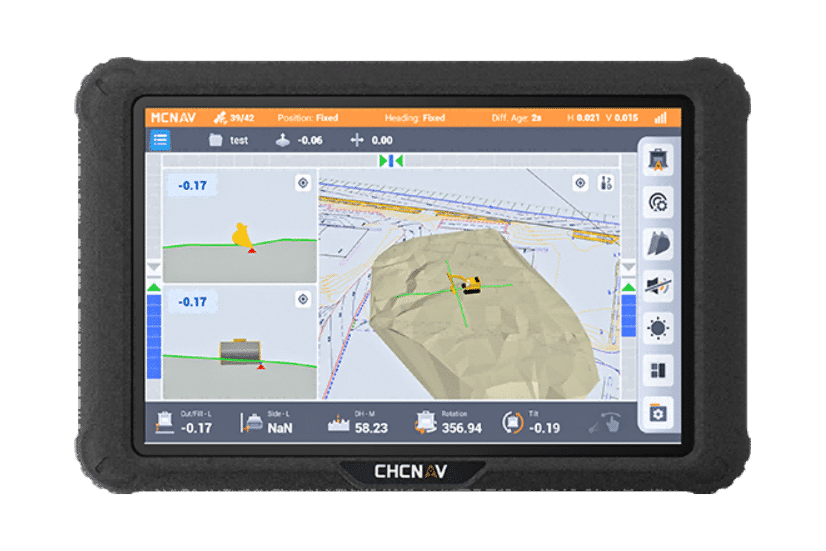
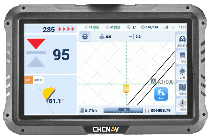
The Android menu buttons explained
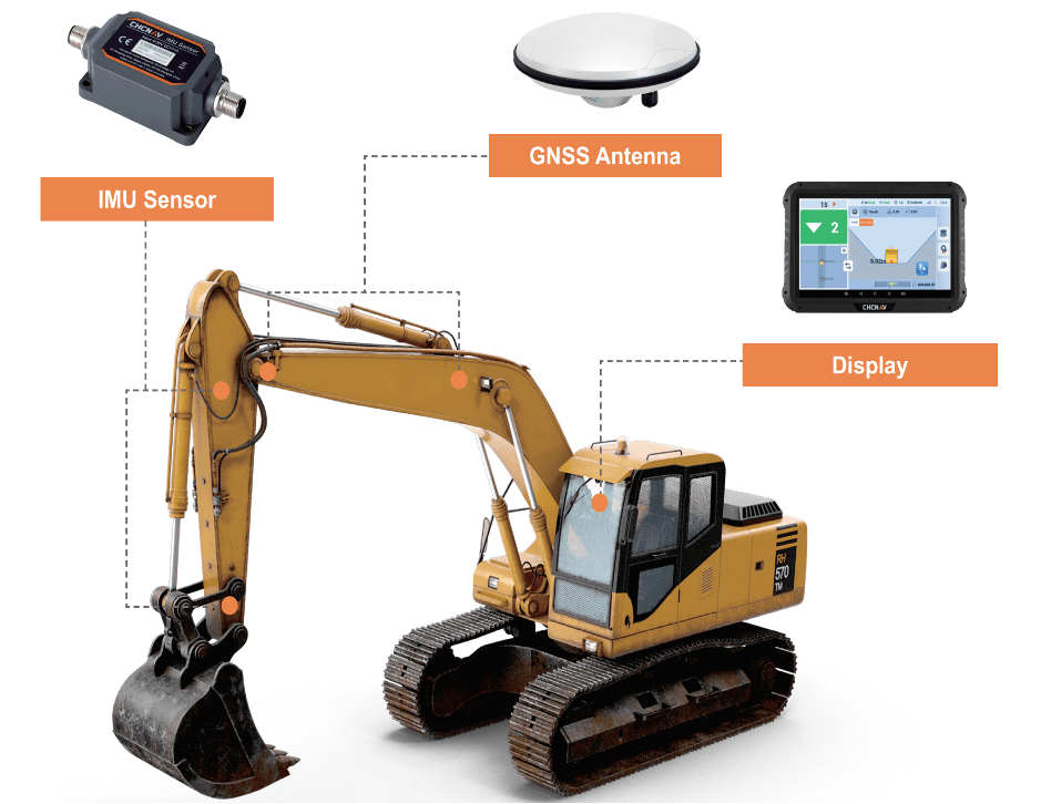
Enter a flat surface
Enter a single slope based on 1 point and boom direction
Follow the nearest line as a measure of distance
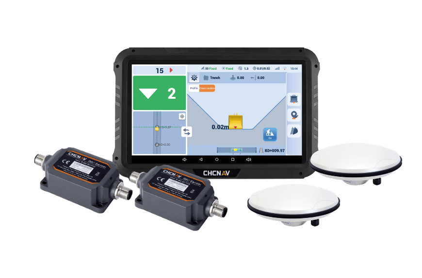
Modify or activate a project
Move your measuring point box to centerleftright
Applications include trenching, site grading, foundation excavation, utility installation, and any task requiring precise and efficient control of excavation operations.
Key features of machine control system for excavators such as the TX73 include high-accuracy GNSS positioning, real-time feedback, user-friendly interfaces, robust construction for harsh environments, and compatibility with various excavator models and attachments.
The TX73 includes ruggedized cables and external protective components designed to resist wear and operate in various temperature environments.


Navigating along a line