


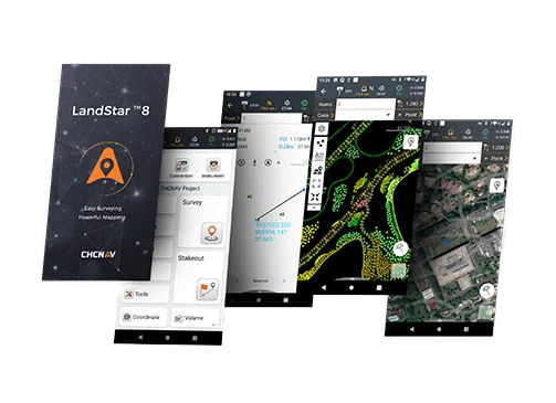
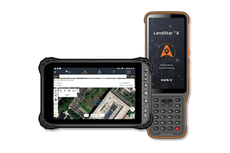
CHCNAV LandStar
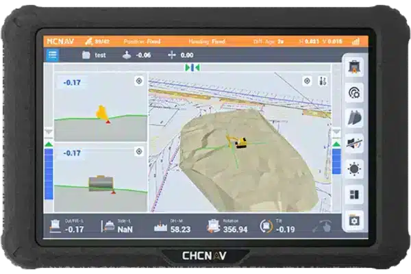
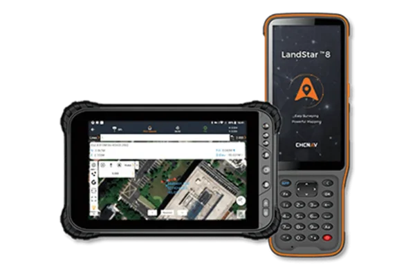
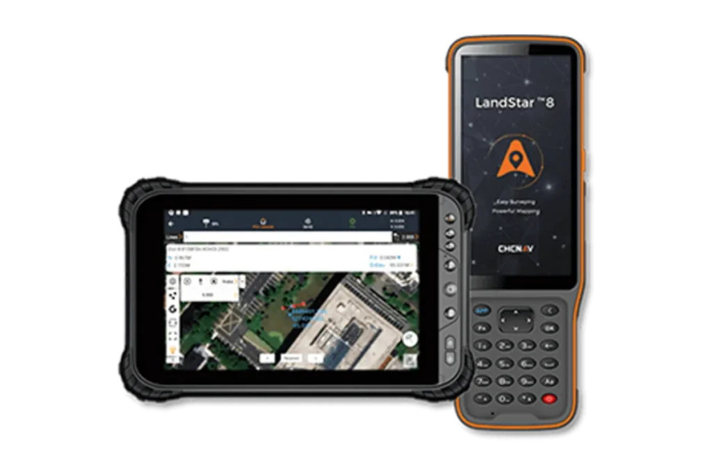
CHCNAV LandStar 8 is a trusted data collection app for Android devices and CHCNAV controllers, streamlining high-precision surveying and mapping with easy-to-use workflows and an intuitive graphical interface. It includes all necessary surveying functions such as construction surveying, control point measurements, CAD support, and efficient stakeout of points, lines, and surfaces. Compatible with industry-standard data formats for seamless import and export, LandStar 8 ensures immediate productivity gains.
MetaCAD Engine
Software
Easily open DWG and DXF base maps with lightning-fast speed and optimized performance, ensuring a seamless and efficient workflow. Experience significantly smoother rendering, allowing for effortless navigation, zooming, and panning, even with complex and detailed drawings. Whether you’re working on large-scale projects or intricate designs, this enhanced functionality improves productivity and provides a more responsive and visually fluid experience.

Cloud Connectivity
Ensure seamless project backup, enabling secure storage and easy retrieval of important files to prevent data loss. Facilitate collaborative work by allowing multiple team members to access, edit, and manage projects in real time, improving efficiency and teamwork. Benefit from remote support features that provide instant assistance, troubleshooting, and guidance, ensuring smooth operations no matter where your team is located.
Modular
Enjoy a fully customizable user interface designed for maximum ease of use, allowing you to tailor the workspace to fit your specific workflow and preferences. Adjust toolbars, menus, shortcuts, and display settings to create an intuitive and efficient environment that enhances productivity. Whether you prefer a minimalistic layout or a feature-rich setup, the flexible interface adapts to your needs, ensuring a seamless and user-friendly experience.
Comprehensive
Enhance construction surveying with precise tools that streamline data collection, layout, and measurement processes. Benefit from comprehensive CAD support, enabling seamless integration with DWG and DXF files for accurate design interpretation and modifications. Improve efficiency in stakeout operations with advanced features that ensure precise marking, faster workflows, and reduced errors on-site, helping surveyors and engineers execute projects with confidence and accuracy.
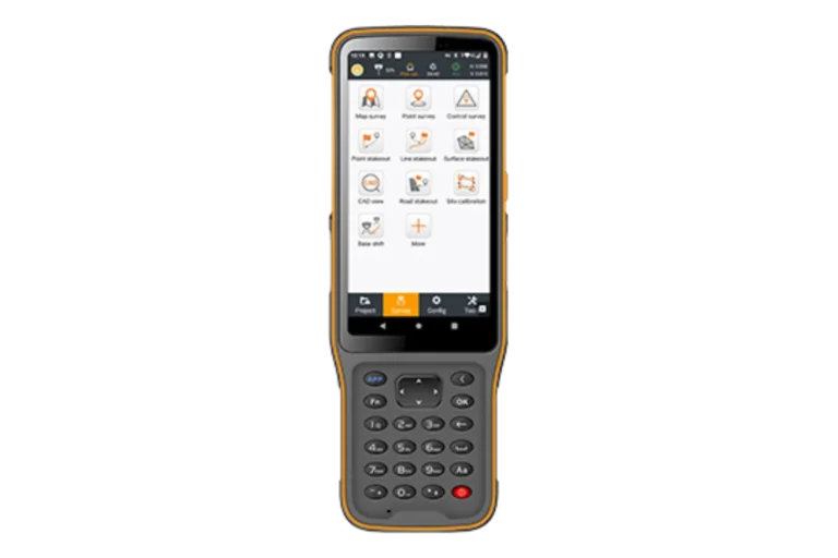
Use LandStar 8 for construction surveying, control point measurement, native CAD files support, fast and accurate point, line and surface stakeout, road construction and GIS data collection.
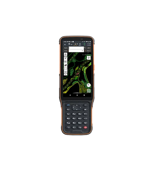
LandStar 8’s proprietary MetaCAD graphics engine opens DWG and DXF files faster and with smoother rendering. The app supports DXF files up to 200 MB and smart functions like “Quick Code” automate feature coding to increase productivity.
Get started quickly with LandStar 8’s easy project setup. Copy coordinate settings, control points, and stakeout points from another controller and use coordinate systems, geoid models, and code libraries.
LandStar 8’s comprehensive import and export format support ensures seamless integration into existing software environments. The application is compatible with industry-standard data formats for easy data sharing and integration.
LandStar 8’s cloud-based architecture supports project backup, collaboration, data storage, and remote support capabilities, enabling efficient communication between the field and the office.
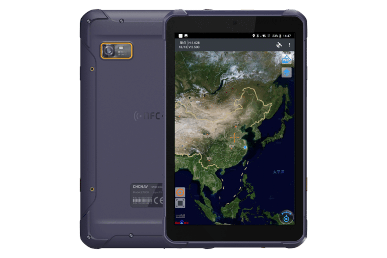
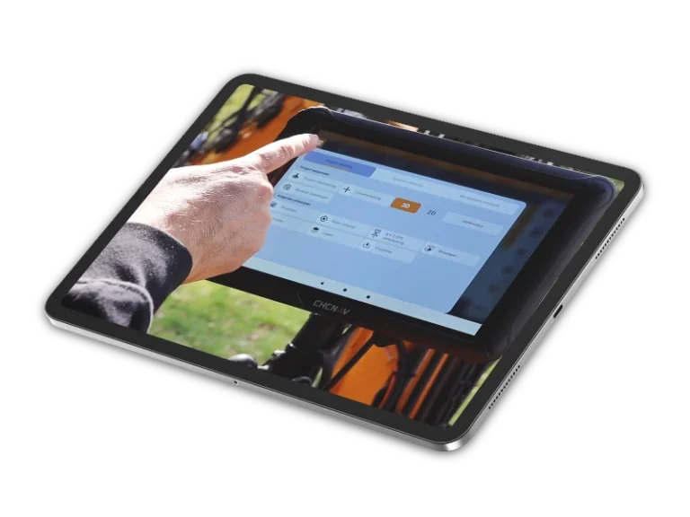
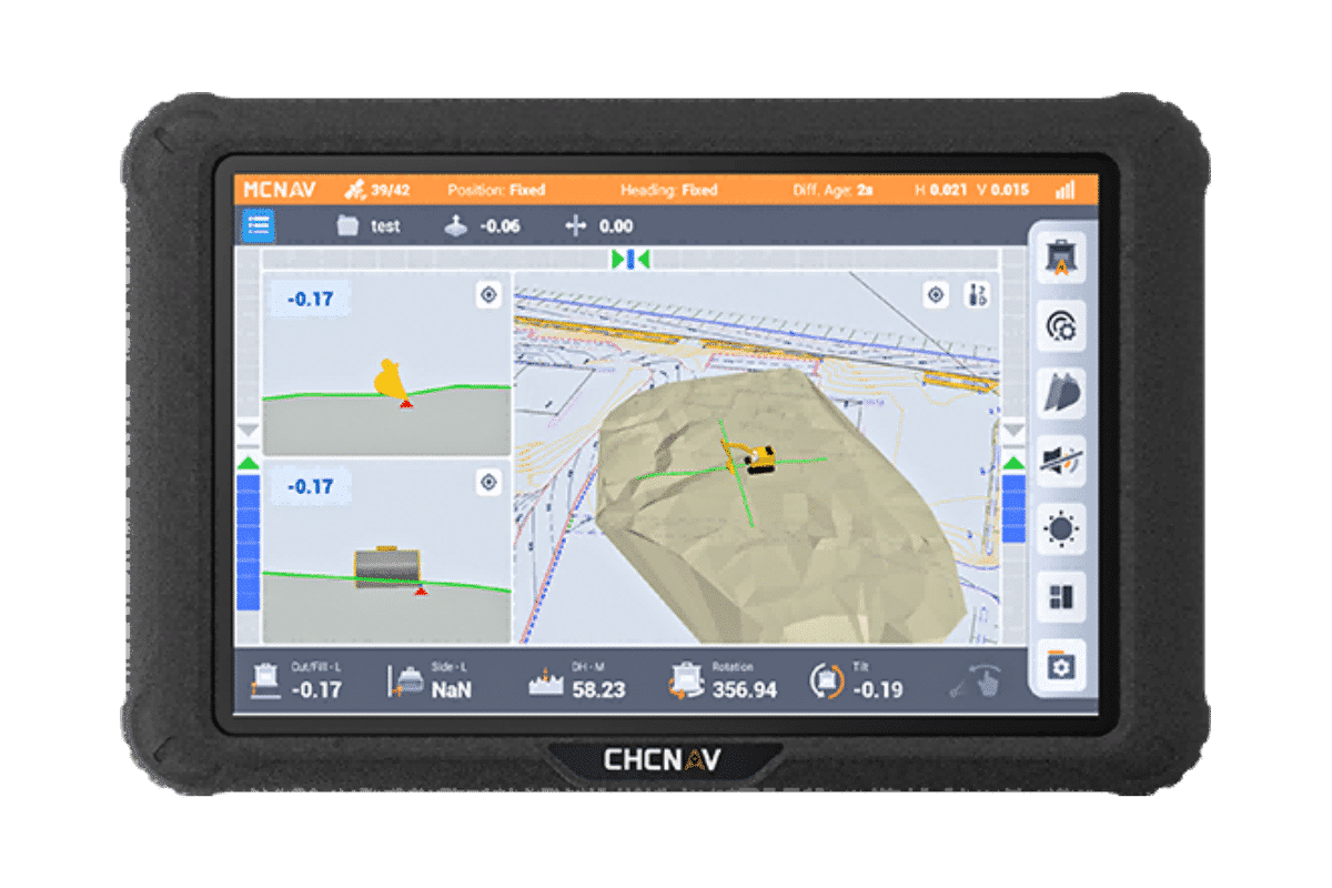
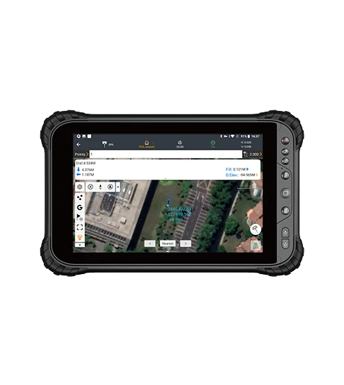
LandStar 8’s intuitive layout makes surveying and mapping easy. Large map windows and graphics display only relevant information, hiding unused features and streamlining operations.