


In land surveying, precision and efficiency are key to getting the job done right. For decades, traditional methods like total stations, theodolites, and levelling instruments have been the go-to tools for geospatial data collection, but times are changing. With technological advancements, Global Navigation Satellite System (GNSS) surveying has taken centre stage. Offering unmatched speed, accuracy, and ease of use, GNSS is transforming the industry and surpassing traditional surveying techniques.
Faster, More Efficient Data Collection
One of the biggest perks of GNSS surveying is how quickly it collects data. Traditional methods require multiple people to manually measure distances, angles, and elevations—a time-consuming process. In contrast, GNSS receivers deliver real-time positioning data with minimal setup, dramatically reducing fieldwork time. Surveyors can now wrap up projects faster, allowing businesses and governments to move forward without unnecessary delays.
With large-scale infrastructure projects like road networks, pipelines, and urban developments. GNSS technology speeds up surveying, meaning construction teams can start work sooner. This kind of efficiency isn’t just convenient—it saves money and resources, making projects more cost-effective.
Broader Coverage and Accessibility
Unlike traditional methods that depend on a direct line of sight between instruments and targets, GNSS works over vast areas, regardless of obstacles. This makes it perfect for large-scale projects, remote locations, and rugged terrains where setting up traditional equipment would be a logistical nightmare.
Surveying mountains, dense forests, or even bodies of water becomes far easier with GNSS. Surveyors don’t have to establish multiple ground control points or rely on visual contact, making the entire process much more seamless. Plus, GNSS has proven invaluable in agriculture, land management, and disaster response—helping farmers optimise crop planting and allowing emergency teams to map disaster-stricken areas quickly.
Pinpoint Accuracy and Reliability
Unlike traditional methods that depend on a direct line of sight between instruments and targets, GNSS works over vast areas, regardless of obstacles. This makes it perfect for large-scale projects, remote locations, and rugged terrains where setting up traditional equipment would be a logistical nightmare.
Surveying mountains, dense forests, or even bodies of water becomes far easier with GNSS. Surveyors don’t have to establish multiple ground control points or rely on visual contact, making the entire process much more seamless. Plus, GNSS has proven invaluable in agriculture, land management, and disaster response—helping farmers optimise crop planting and allowing emergency teams to map disaster-stricken areas quickly.

Cutting Costs and Reducing Manpower
Traditional surveying methods often require teams of people operating total stations and manually recording measurements. With GNSS, a single surveyor can cover a large area efficiently. This not only saves on labour costs but also minimises the need for expensive equipment.
For companies handling multiple surveying projects, these cost savings add up fast. The ability to do more with fewer resources makes GNSS an attractive investment. As technology becomes more affordable, even small businesses can take advantage of its benefits.
Easy Integration with Digital Mapping and GIS
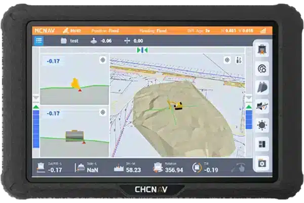
GNSS data integrates effortlessly with Geographic Information Systems (GIS) and other digital mapping platforms. Traditional methods, on the other hand, often require manual data input, increasing the risk of human error and slowing down workflows. By using GNSS, surveyors can transfer data seamlessly to digital platforms, enabling real-time analysis and decision-making.
This is a game-changer for urban planning, environmental monitoring, and transportation management. City planners can use GNSS data to update zoning maps, optimise traffic flow, and improve infrastructure planning. Environmental agencies can monitor deforestation, track landscape changes, and assess climate change impact with greater precision and efficiency.
Safer Operations in Hazardous Environments
Surveying in dangerous locations—such as busy roads, active construction sites, or unstable terrains—poses significant risks. Traditional methods often require surveyors to be physically present in these hazardous areas, increasing the likelihood of accidents. With GNSS, surveyors can collect data remotely, minimising their exposure to potential dangers.
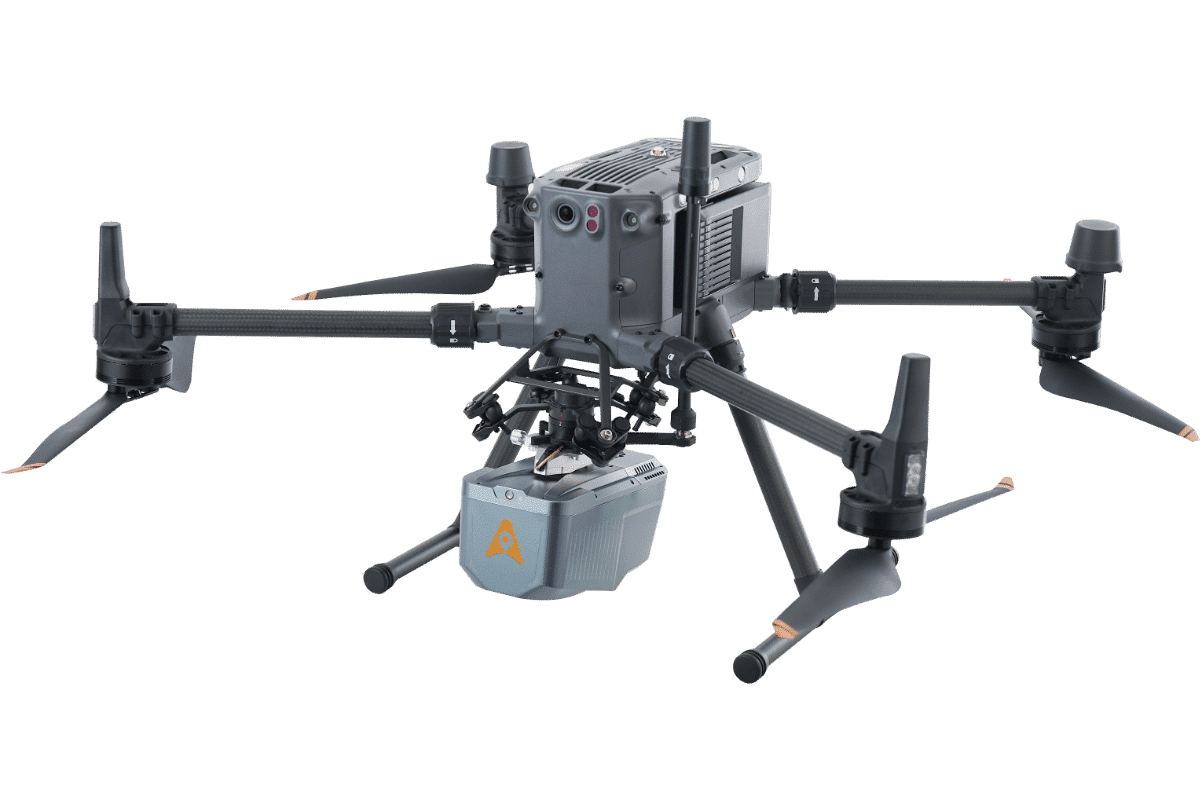
For example, highway maintenance teams can deploy GNSS-equipped drones to survey road conditions without putting workers in harm’s way. Similarly, GNSS technology is used in mining operations to map excavation sites without requiring personnel to enter risky zones.
This is a game-changer for urban planning, environmental monitoring, and transportation management. City planners can use GNSS data to update zoning maps, optimise traffic flow, and improve infrastructure planning. Environmental agencies can monitor deforestation, track landscape changes, and assess climate change impact with greater precision and efficiency.
The Future of Surveying
While traditional surveying methods still have their place, there’s no denying that GNSS is revolutionising the industry. With its ability to improve efficiency, enhance accuracy, reduce costs, and ensure safer working conditions, GNSS is the go-to solution for modern surveying needs.
As technology continues to evolve, adopting GNSS will become increasingly essential for professionals looking to stay ahead. Investing in GNSS isn’t just about keeping up—it’s about setting the standard for smarter, more effective surveying practices.
Want to learn more about how GNSS can benefit your projects? Contact Tri-Site today!
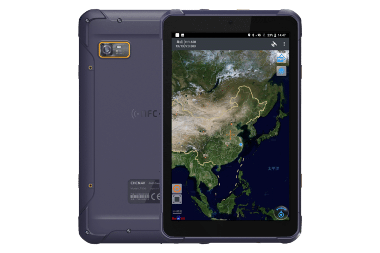
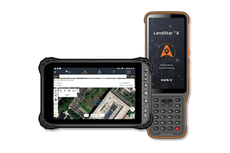
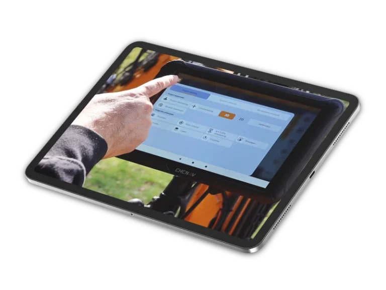
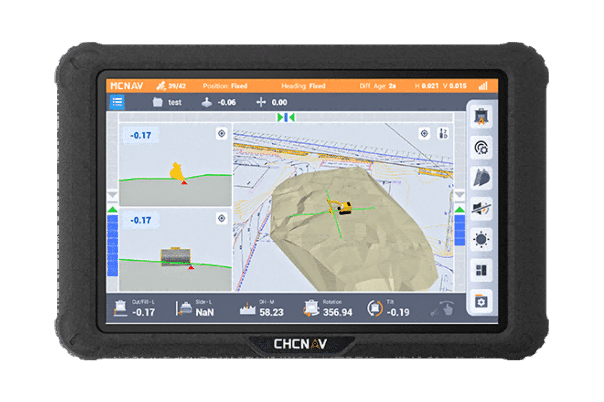
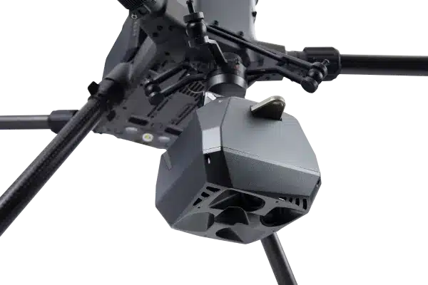
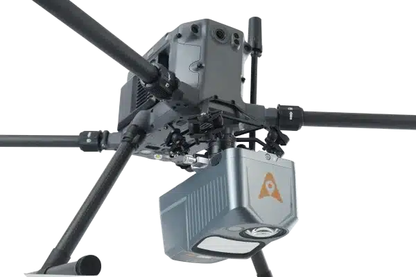
Using Tri-Site
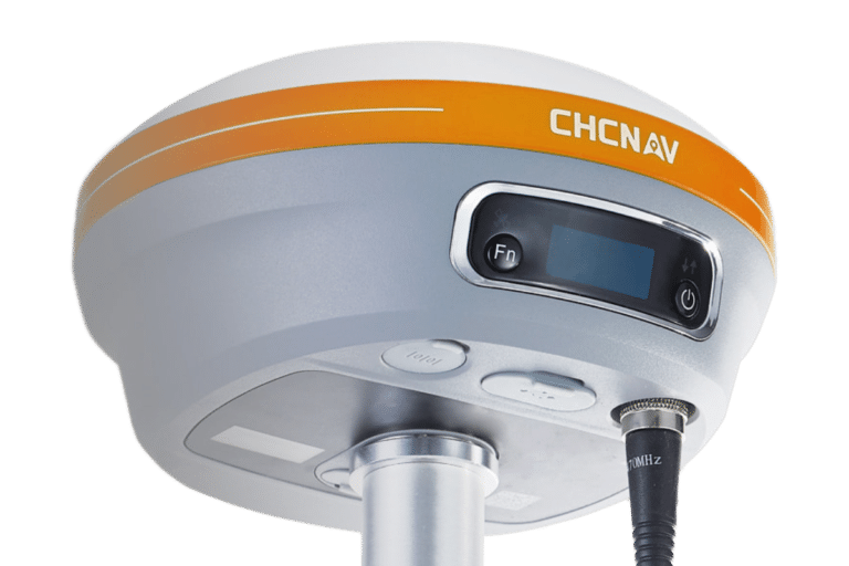
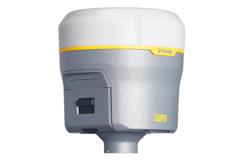
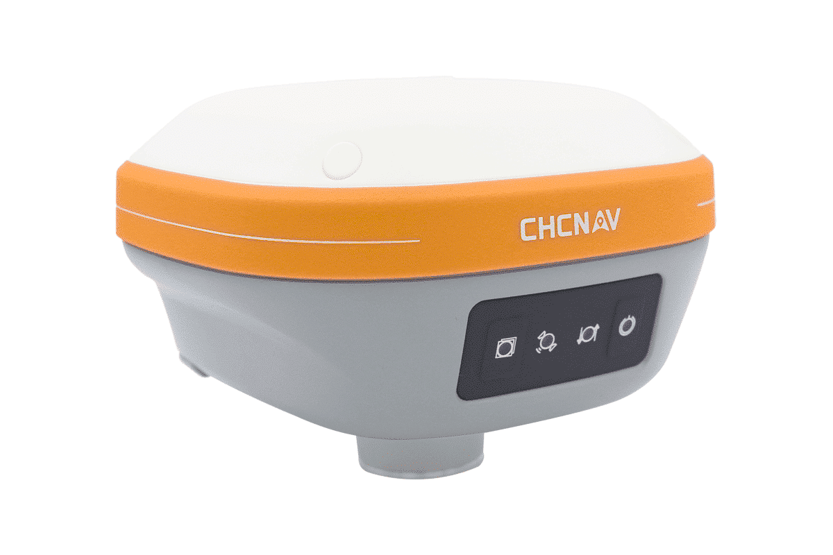
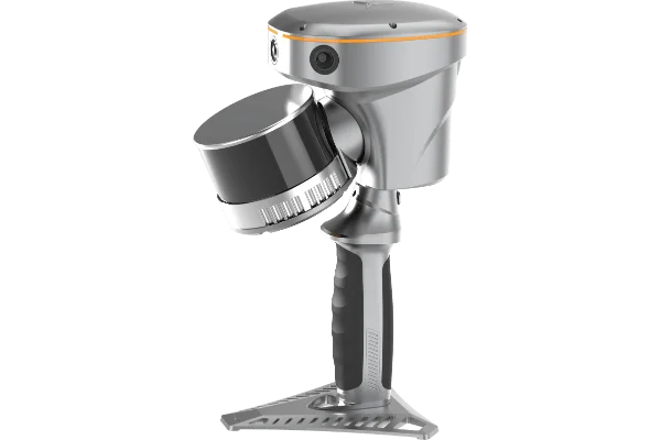
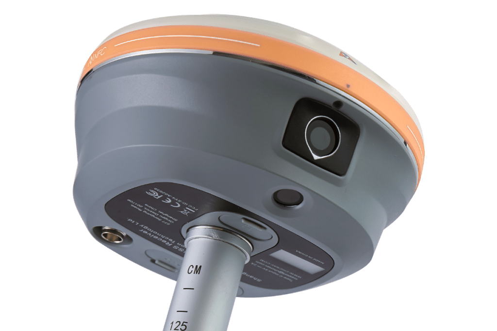
Tri-Site’s GNSS sensors deliver top-tier accuracy, ensuring precise data even in tough environments. Whether surveying in urban or remote areas, their sensors provide the reliable performance you need.
We also offer expert support from setup to maintenance, helping you integrate and optimise your equipment. With tailored solutions and a dedicated service, we offer dependable GNSS technology.
Features
Our devices track signals from multiple satellite constellations. This multi-constellation support ensures robust and reliable positioning, even in challenging environments like dense urban areas or under-tree canopies.
This enables accurate measurements even when the survey pole isn’t perfectly upright. This feature improves efficiency and allows for faster data collection without compromising accuracy.
With built-in UHF or network connectivity, GNSS sensors can function as either a base station or a rover. This flexibility allows them to adapt to different surveying setups, whether establishing a local reference or gathering data in the field.
Designed with fieldwork in mind, our GNSS sensors are compact and easy to transport
Built to withstand the toughest conditions, our GNSS sensors are rated for dust, water, and shock resistance. This rugged design ensures reliable performance in harsh weather and on demanding job sites.