


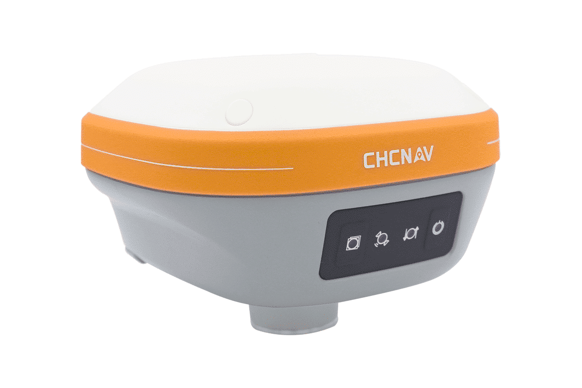

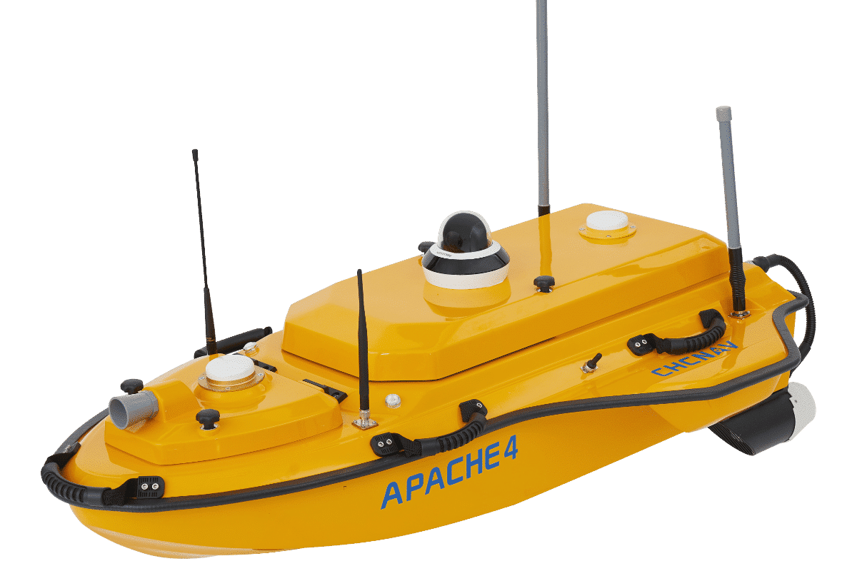
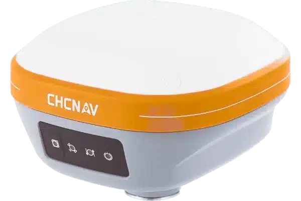
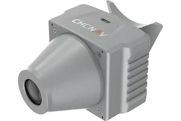

£29,450.00
POA
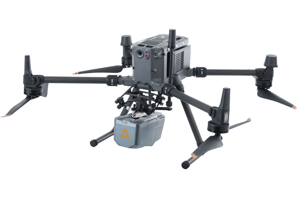
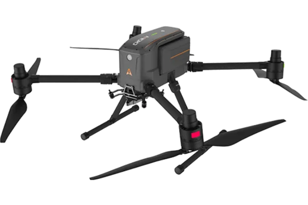
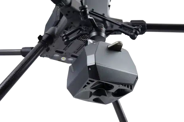
£20,950.00
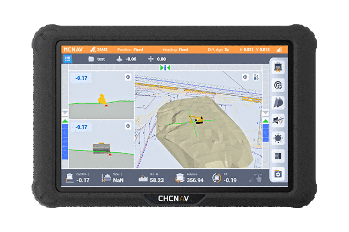
POA


CHCNAV | RS10 - Data Process Part 5 (GCP Adjustment)
CHCNAV | RS10 - Data Process Part 4 (Quality Check)
CHCNAV | RS10 - Data Process Part 3 (Accuracy Optimization TGCP)
CHCNAV | RS10 - Data Process Part 2 (Accuracy Optimization)
CHCNAV | RS10 - Data Process Part 1 (Create Project)
CHCNAV | RS10 - Unboxing, Initialization setup and Quick Start
How to Match Multiple Scans From RS10