


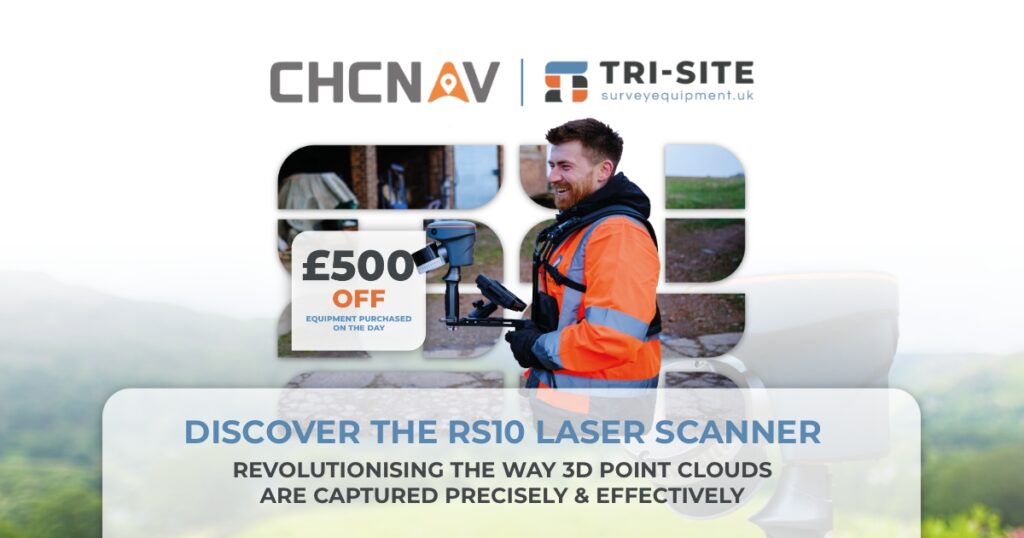
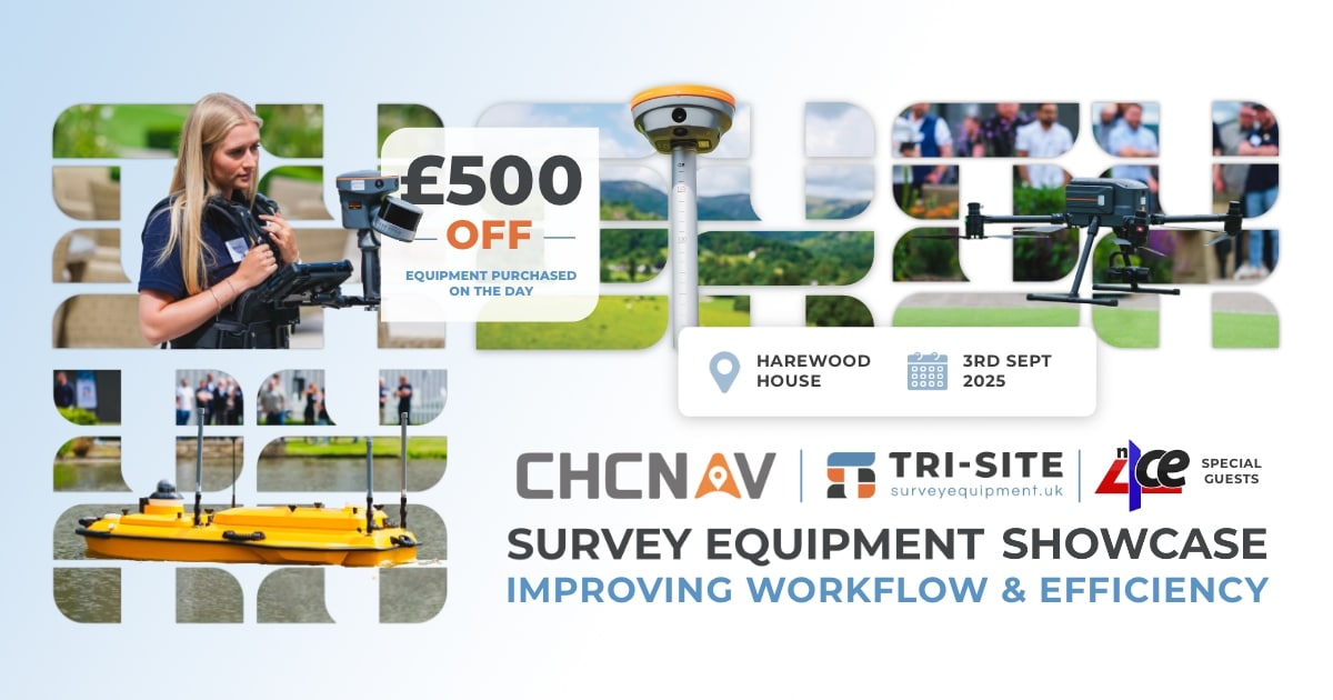
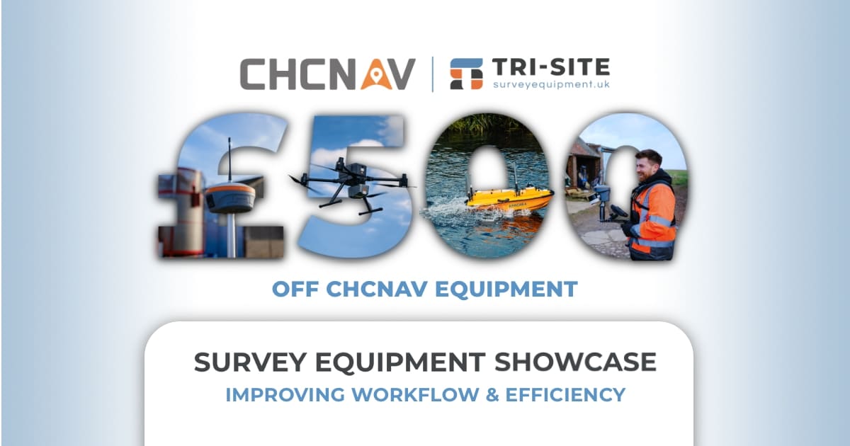
£500 OFF any Product Purchased at the Event!!
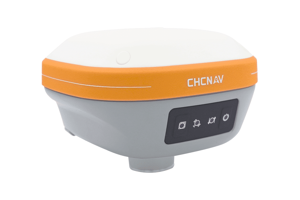
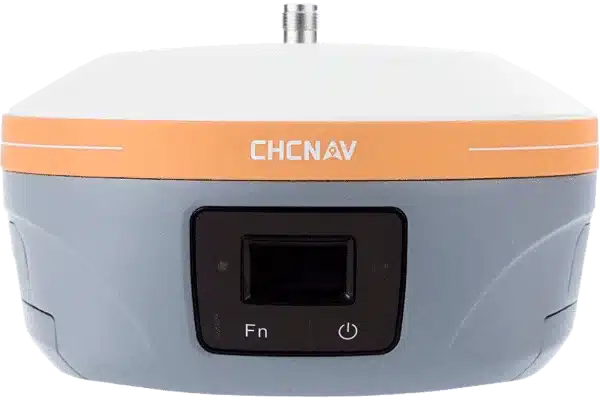
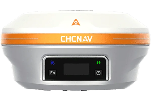
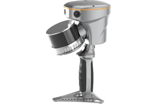
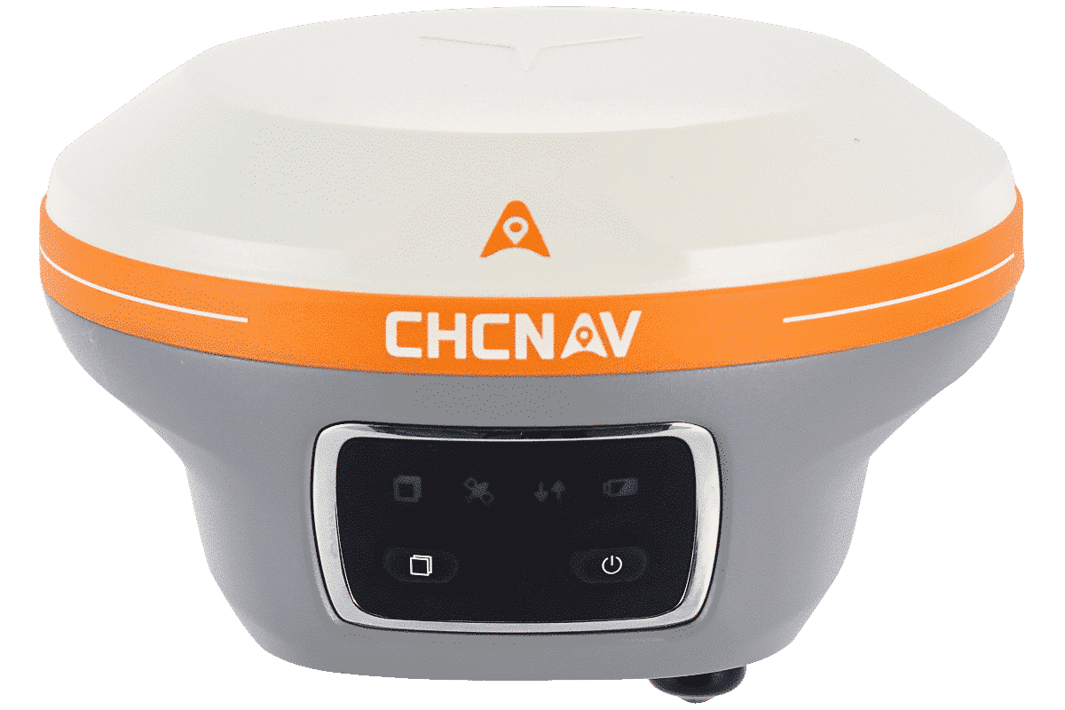
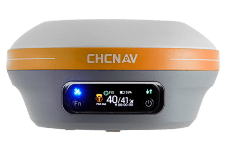
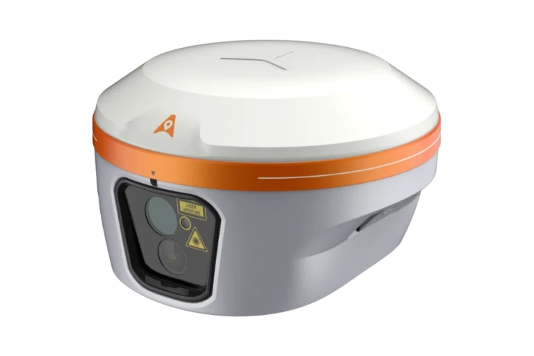
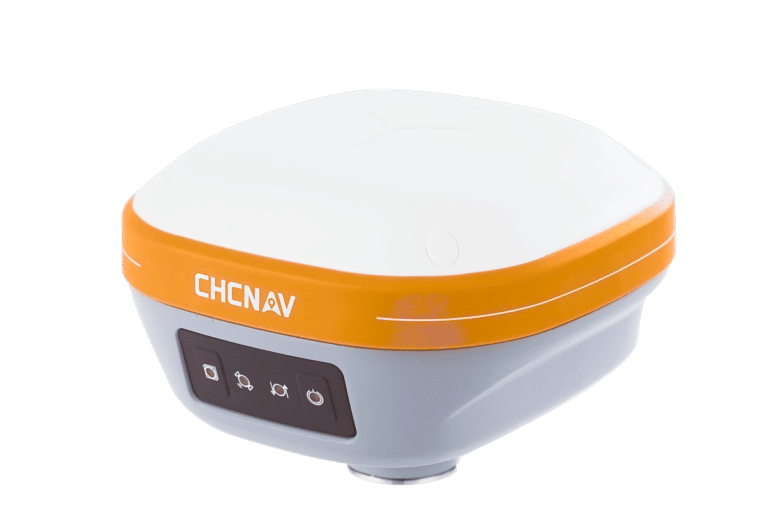
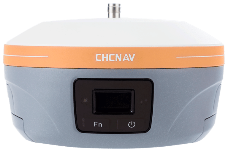
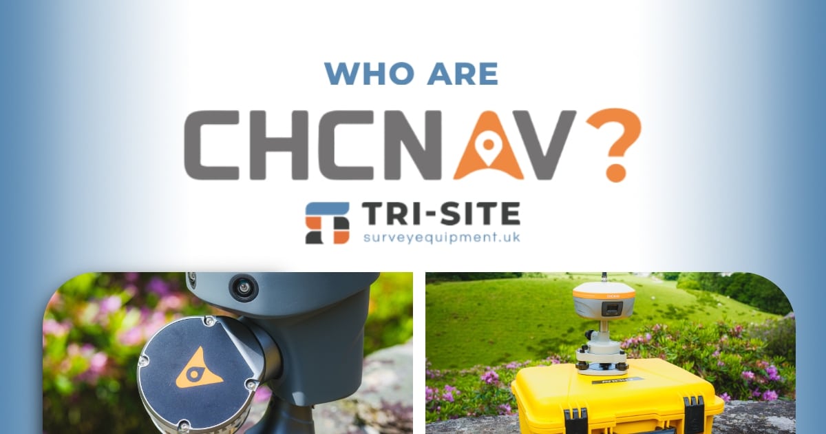
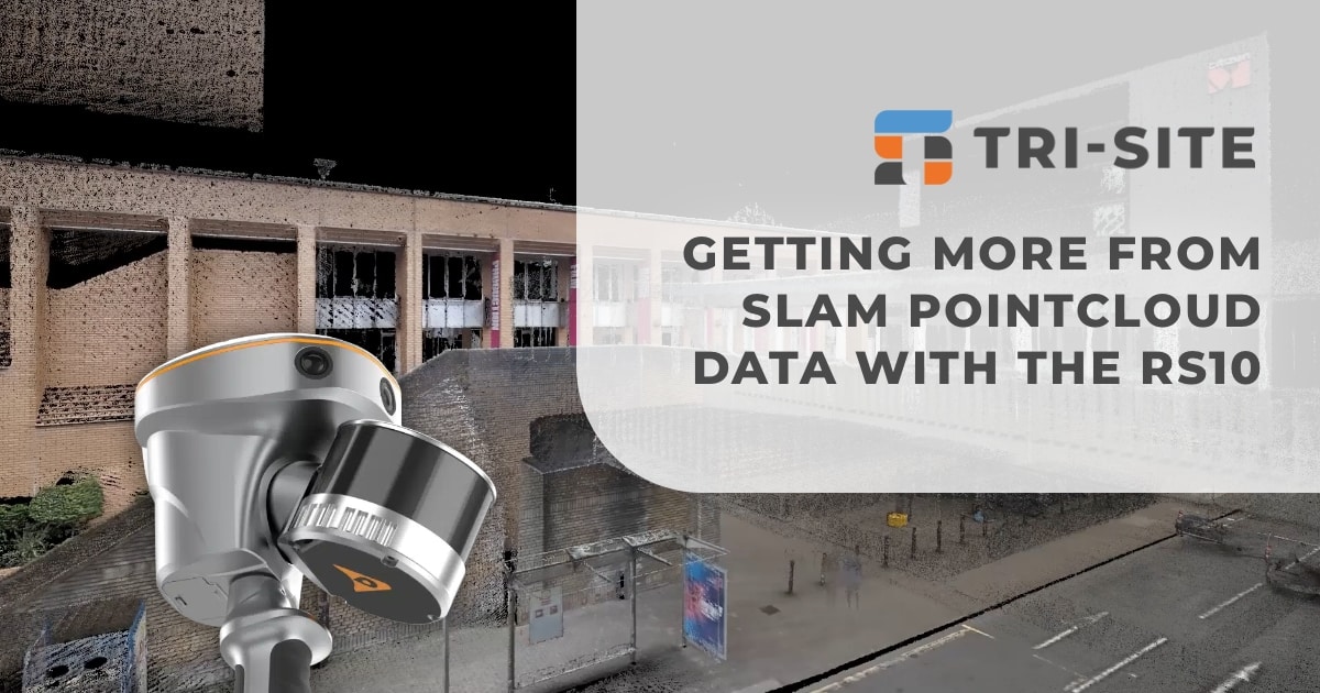
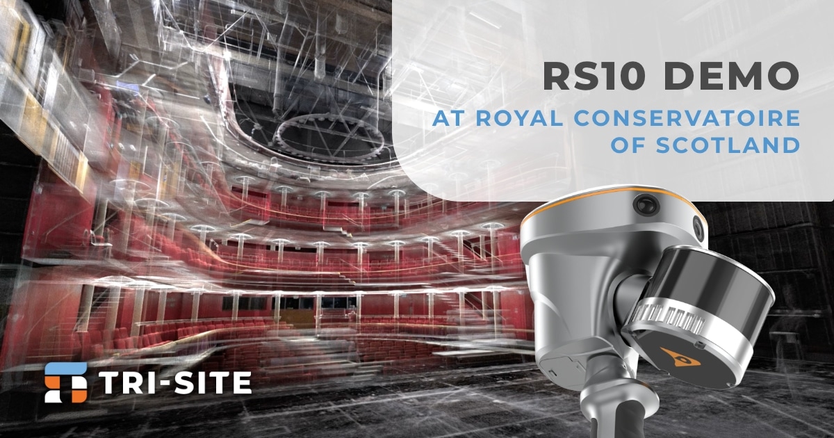
The RS10 brings a new approach to geospatial surveying by integrating GNSS RTK, laser scanning, and visual SLAM technologies into a single, powerful platform.
Its speed, user-friendly design, high level of detail, and exceptional accuracy aren’t just impressive features — they’re helping to redefine standards across the entire surveying industry.
But the best way to truly understand what sets the RS10 apart? See it for yourself.
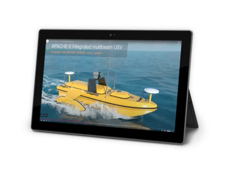
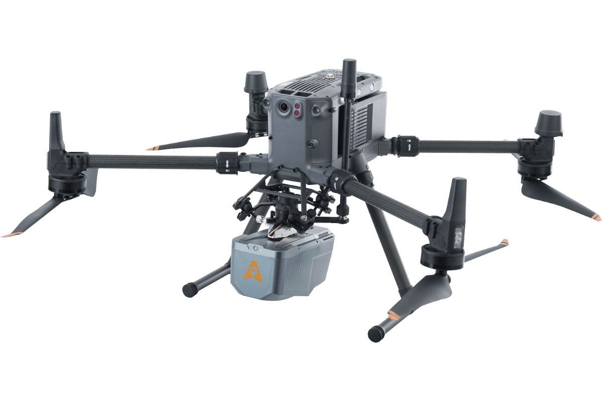
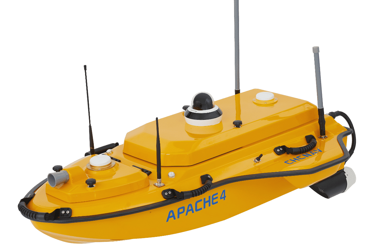
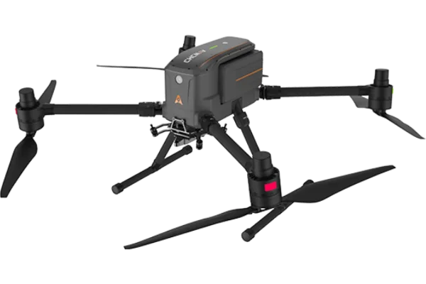
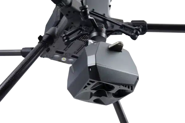
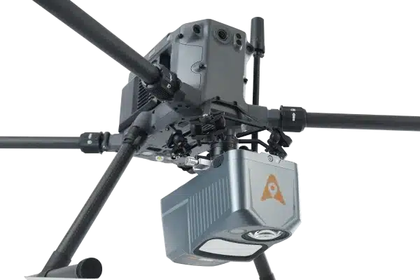
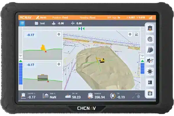
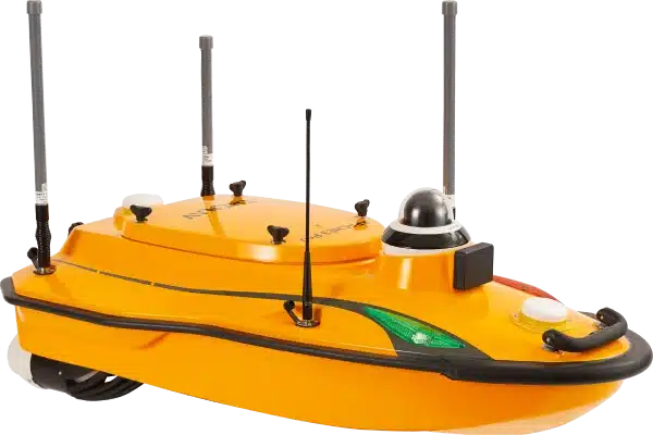
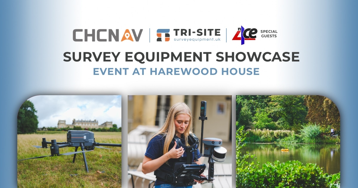
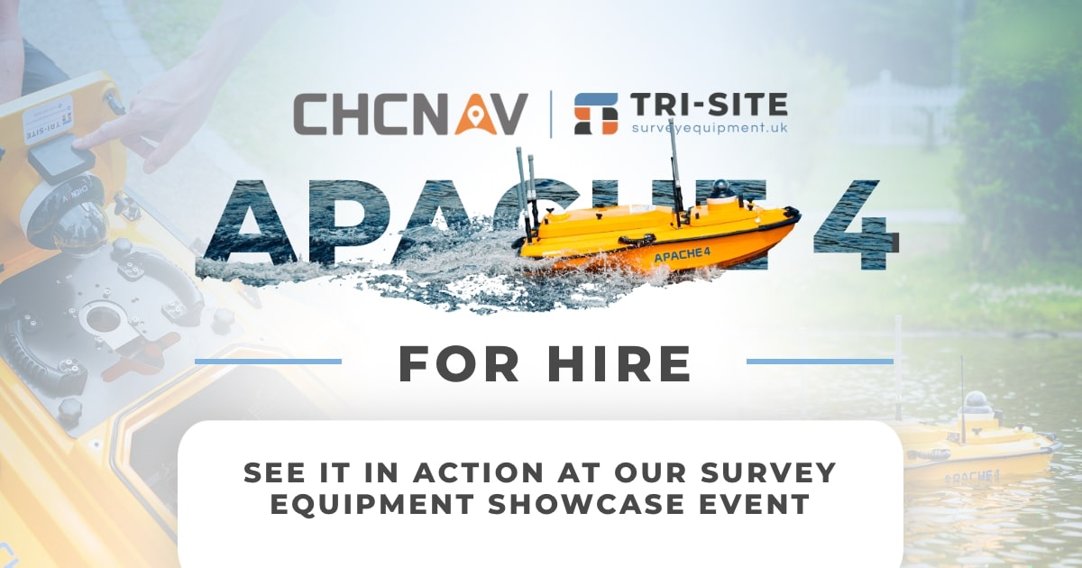
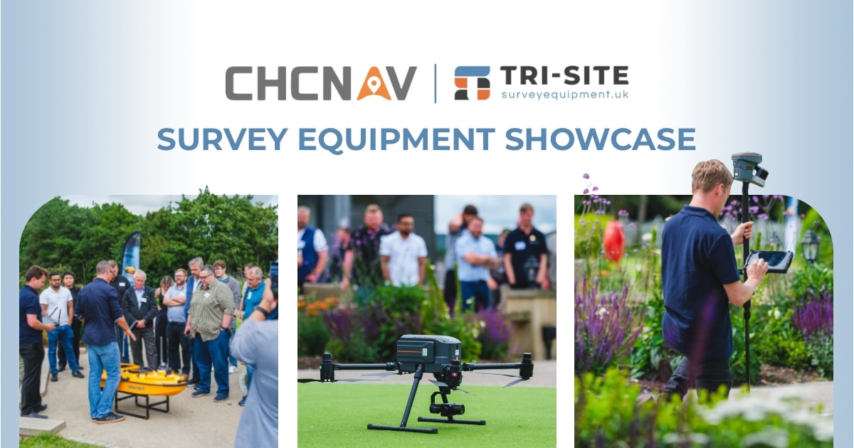
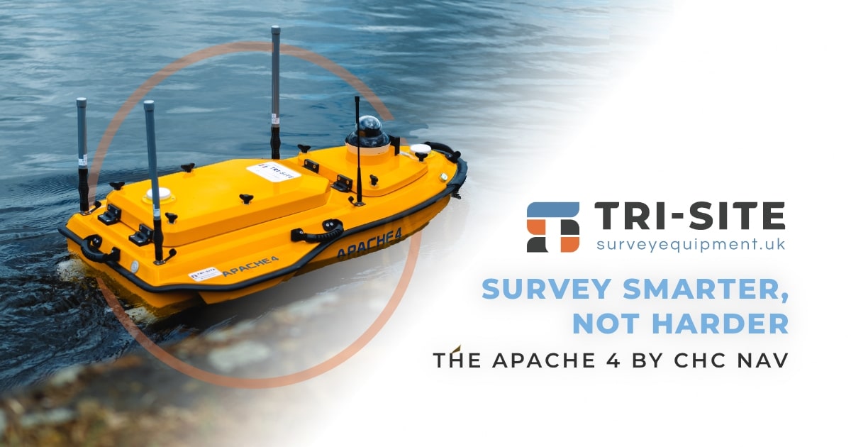
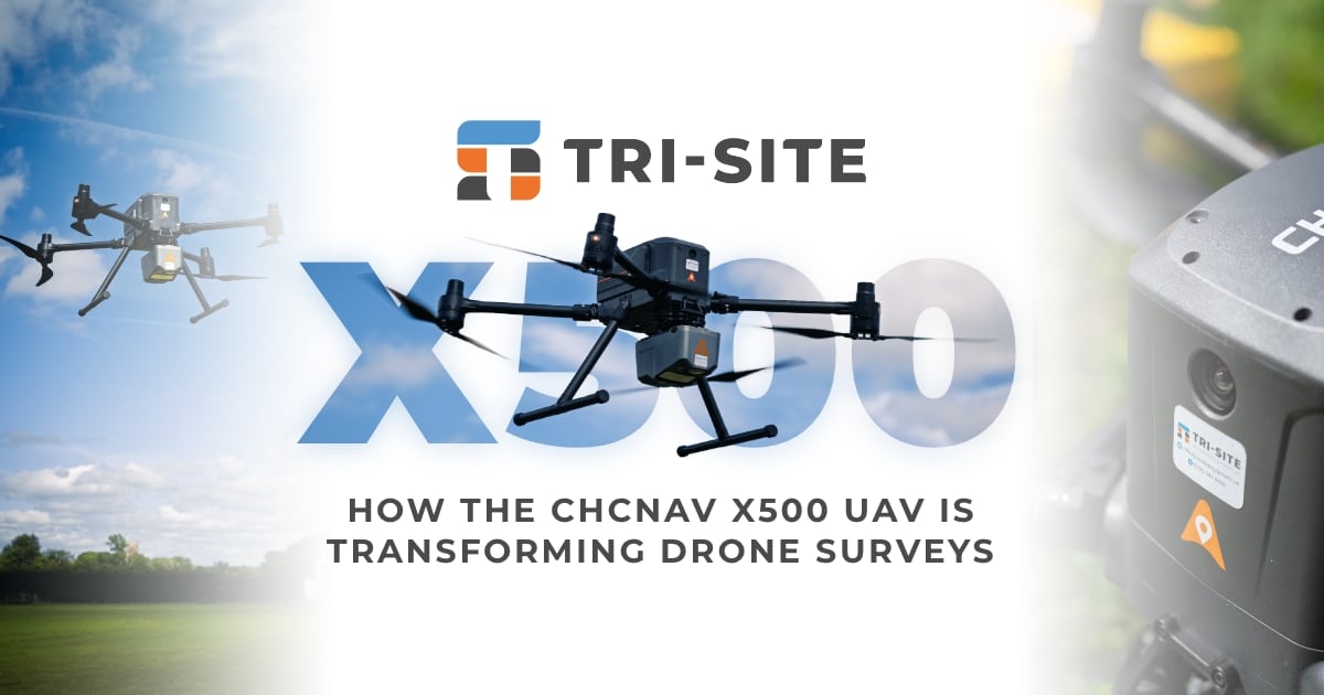
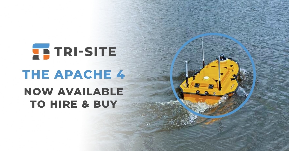
At our upcoming Survey Equipment Showcase, our team of experienced surveying professionals will be demonstrating the RS10 live, alongside other cutting-edge CHCNAV technology, including GNSS Sensors Apache 4 and the X500 Drone.. You’ll get hands-on experience with the equipment, ask questions, and see exactly how it can transform your workflow in the field.
We’re also delighted that Applications in CADD will be joining to demonstrate how to integrate data from CHCNAV equipment into an efficient workflow using their powerful n4ce survey processing and modelling software.
Wed, 3rd September 2025,
09:30 - 16:30
Harewood Suite, Harewood House, LS17 9LG
See the RS10 for Yourself
The day will be hosted in the Harewood Suite at Harwood House in Leeds, running from 09:30 to 16:30The programme includes expert-led demonstrations and hands-on access to equipment. You’ll get an introduction to both Tri-Site and CHC Navigation, followed by in-depth sessions on the RS10, GNSS rovers, X500 drone and Apache 4 USV. Refreshments and lunch are included, and there will be time for informal Q&A and further equipment testing in the afternoon. It’s a relaxed but informative environment designed to help professionals make confident decisions about the tools they use on-site.
Join us for an insightful day celebrating our industry. Whether you’re looking to upgrade your kit, explore new possibilities or stay ahead of the curve, this is a unique opportunity to try out cutting-edge tools with the support of experienced professionals. Get tickets by booking the link below.
Event Schedule
9:30 - 10:00
Arrival, Pastries & Welcome Networking.
10:00 - 10:30
Intro to Tri-Site & CHC Navigation.
10:30 - 10:40
SPECIAL GUESTS: Applications in CADD • Intro to n4ce Software.
10:40 - 12:30
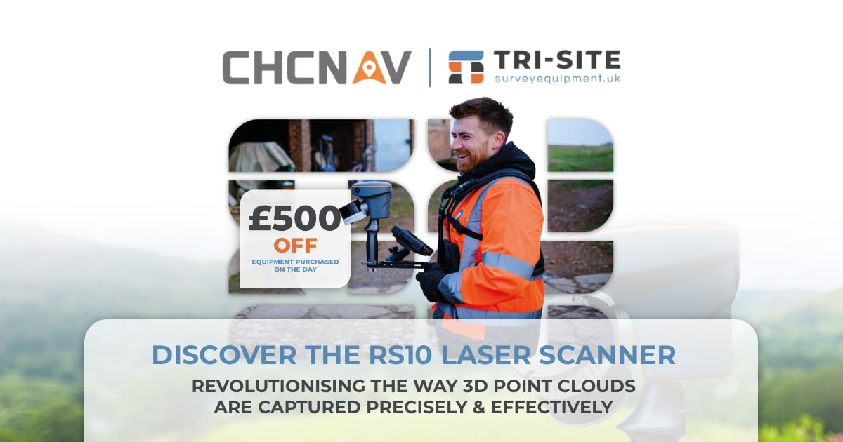
Learn How to Capture 3D Point Cloud Data More Efficiently with the RS10 Laser Scanner.
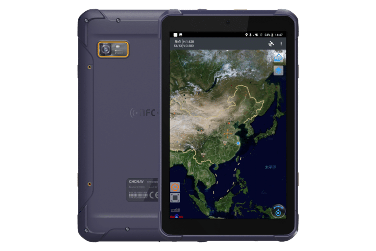
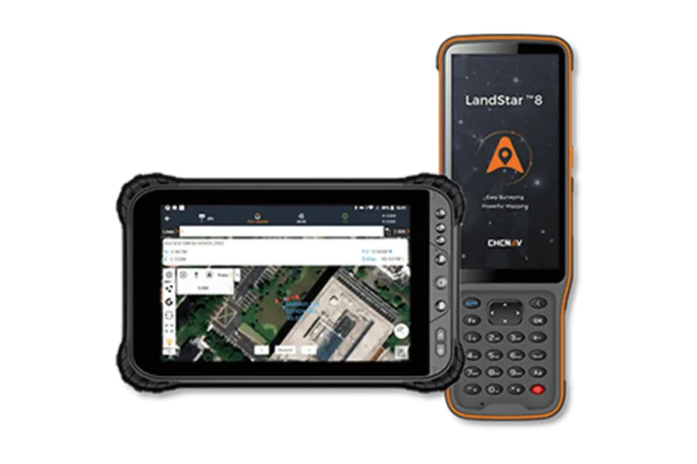
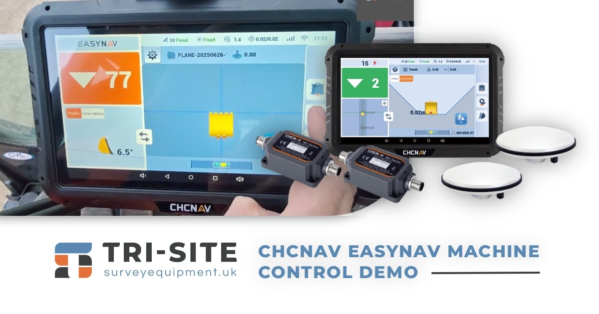
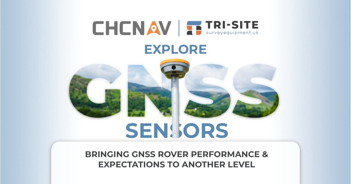
Explore the Next Level Performance of CHCNAV GNSS Rover Units. We will demo the full array of versatile GNSS receivers from CHCNAV.
12:30 - 13:00
Delicious buffet lunch and informal networking – on us!
13:00 - 15:00
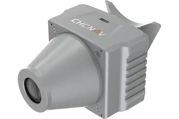
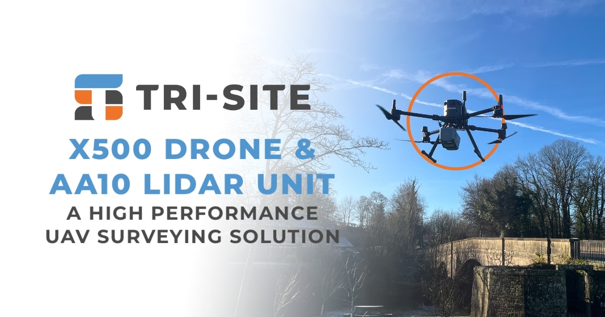
Learn how to capture large areas of aerial data accurately with the X500 & AA10.
Experience how underwater automated data capture can be taken to the next level with the Apache 4 USV.
15:00 - 15:15
Afternoon Refreshment Break.
15:15 - 16:00
Q&A with Tri-Site, CHCNAV and Applications in CADD. • Equipment Access.
RS10 Features
Combines satellite positioning and visual mapping for seamless indoor and outdoor surveying, achieving up to 5cm absolute accuracy even in GNSS-limited areas.
Utilises LiDAR technology to deliver centimetre-level accuracy for detailed 3D point clouds.
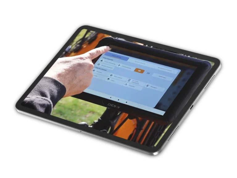
Provides instant georeferenced 3D models in the field, reducing post-processing time and improving workflow efficiency.
The portable and robust construction makes these devices easy to carry and reliable in challenging conditions.
Compatible with industry-standard software, enabling seamless data transfer for further analysis and modelling
