


Woodland Survey
RS10 In the Spotlight
Overview
Over the past few months, we’ve put the RS10 to work in a range of environments—and it has proven to be an absolutely impressive piece of equipment!
In this demonstration, Ted Harland puts the RS10 to the test, evaluating its speed and ease of use while scanning a 12,000m2 area of woodland. Will the RS10 live up to expectations?
The Survey
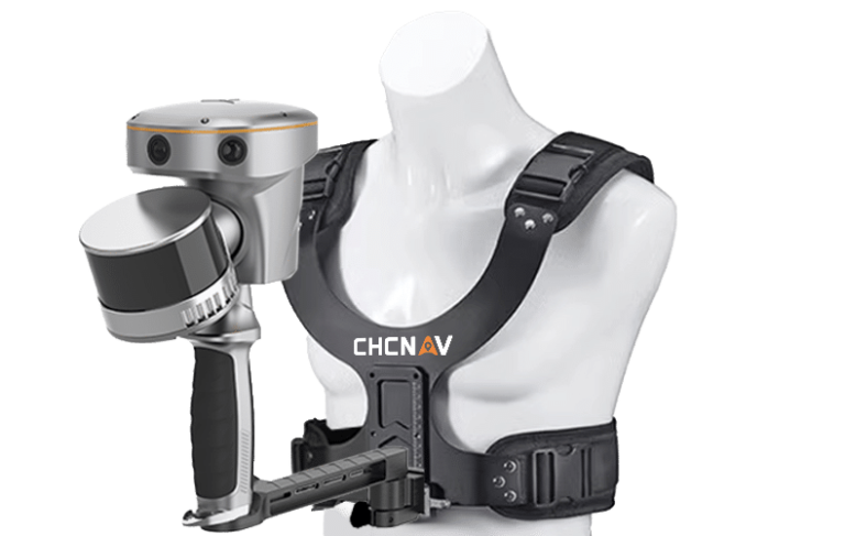
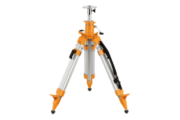
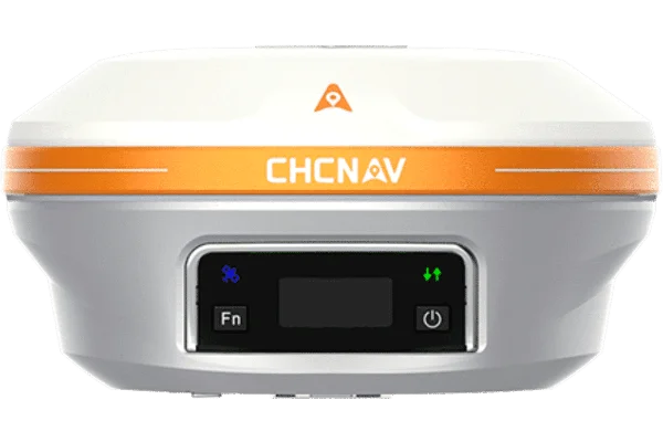
Straight out of the box, the RS10 impresses with its high-quality build and lightweight design. With a range of mounting options available, we opted for the chest mount, swing arm, and tablet holder. The chest mount stands out for its comfort and ease of use, offering well-balanced weight distribution and keeping hands free to operate the tablet.
The RS10 took less than a minute to power on, initialise and gain RTK fix. After that, well, it’s a steady walk around the woodland. It is that simple!
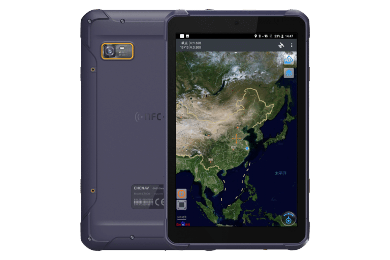
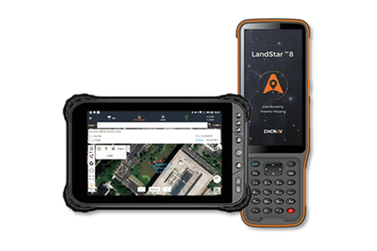
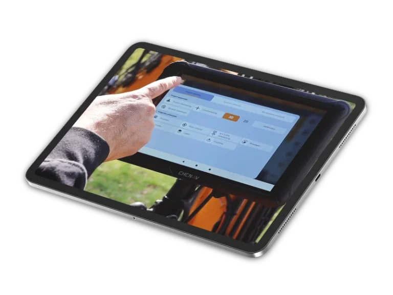
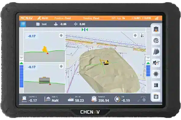
The android based tablet is robust and responsive. Secured on the mount, it was accessible and the data was presented on the fly.
This survey would typically take about 4 to 5 days, complicated by tree specifications. But, we precisely scanned 12,000m2 area of woodland, in 35 minutes!
Take a look at Ted’s video to see the RS10 in action.
12,000m2 area of woodland, scanned in 35 minutes!
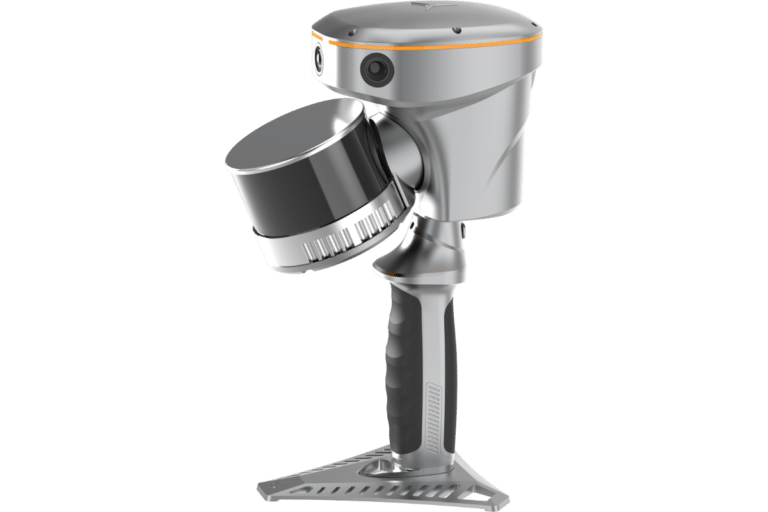
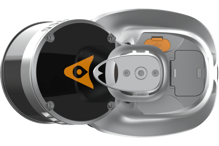
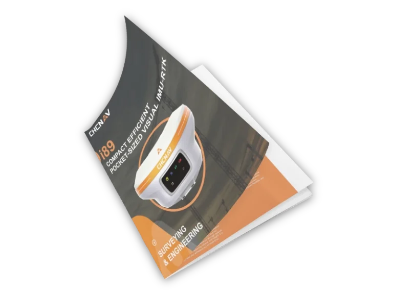
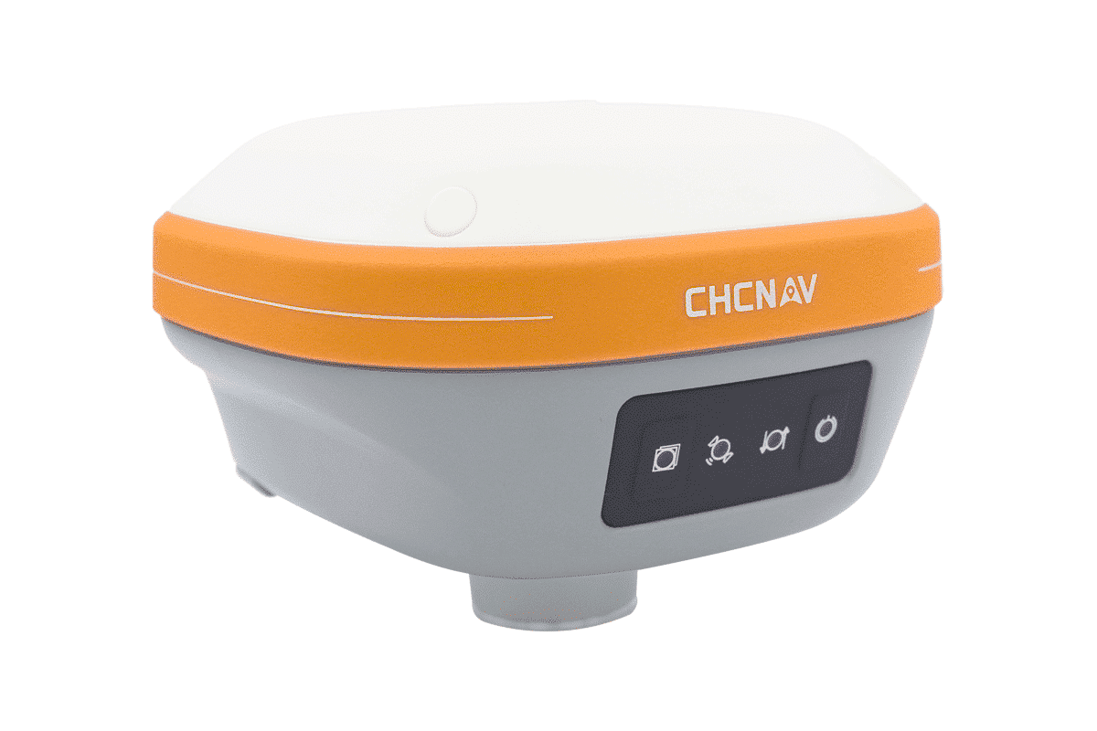
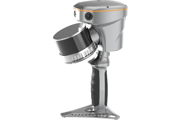
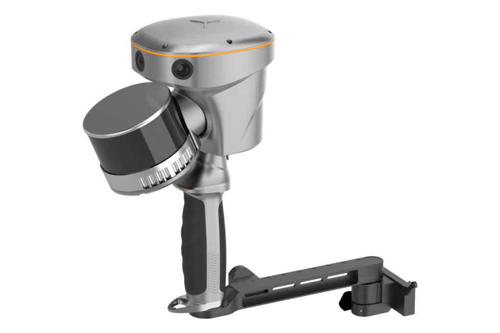
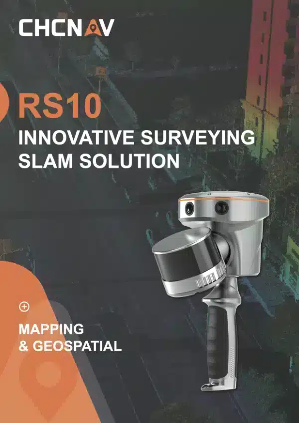
CHCNAV RS10 Slam Scanner
The RS10 brings a new approach to geospatial surveying by integrating GNSS RTK, laser scanning, and visual SLAM technologies into a single platform. This comes in two models the 300m version and the regular version. Designed to improve the efficiency and accuracy of indoor and outdoor 3D scanning and surveying tasks. The RS10 is a versatile solution for surveying, civil engineering, and BIM professionals, as well as for applications such as agricultural and forestry surveying, power line inspection, material pile volume calculation, and data collection in underground spaces.
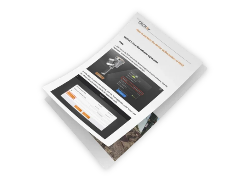
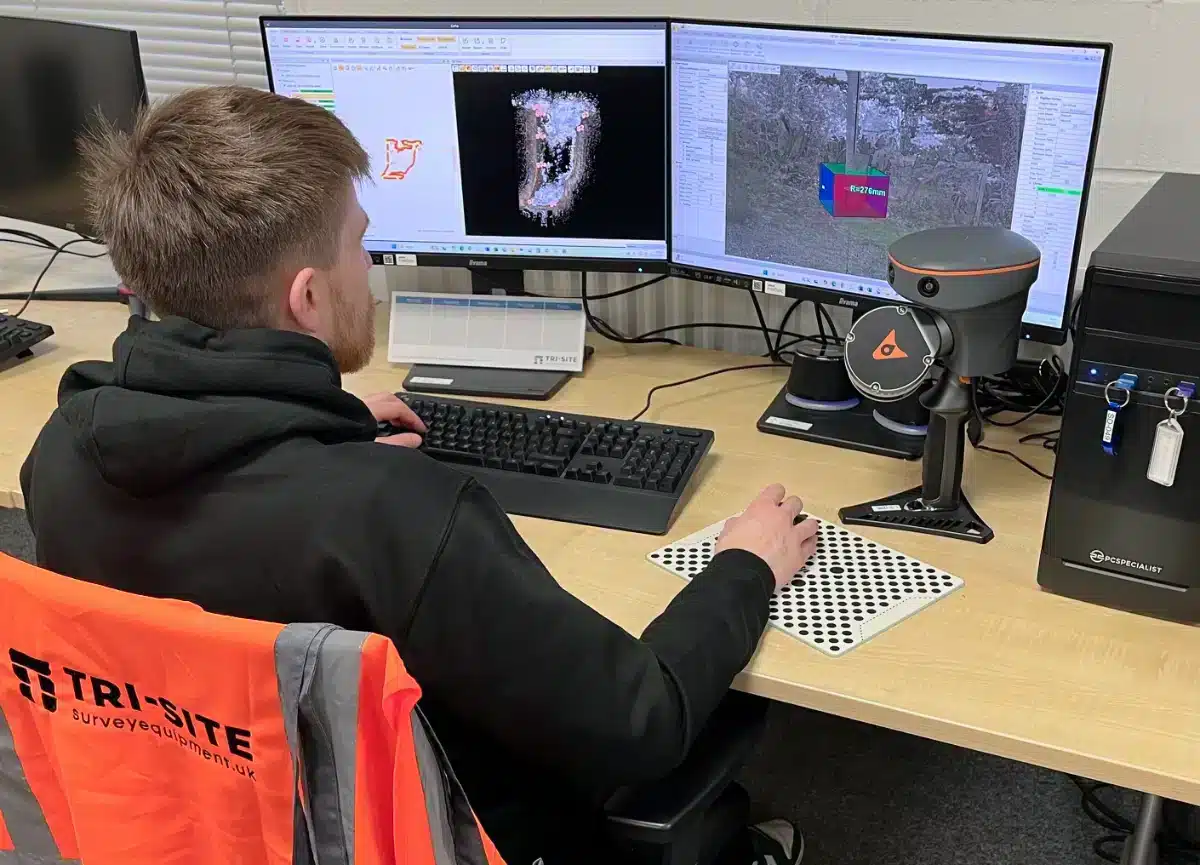
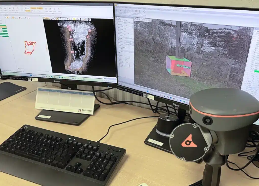
Processing Survey Data
Back in the office, Jonny connected the tablet to the desktop and transferred the data using CHCNav CoPre software. The process was almost fully automated, quickly pulling data from the tablet. CoPre, a Windows-based program, comes free with the RS10 with no subscription costs.
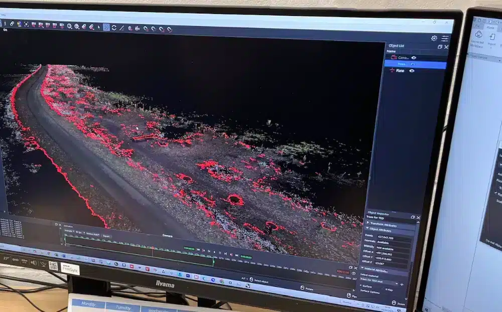
The 3D point cloud, along with imagery from the RS10’s three HD cameras, was ready for presentation and further processing in any surveying software. We used Applications in Cadds and N4CE to process our data.
From start to finish, the entire survey took about half a day—a total game changer!
Features
Combines satellite positioning and visual mapping for seamless indoor and outdoor surveying, achieving up to 5cm absolute accuracy even in GNSS-limited areas.
Utilises LiDAR technology to deliver centimetre-level accuracy for detailed 3D point clouds.
Provides instant georeferenced 3D models in the field, reducing post-processing time and improving workflow efficiency.
The portable and robust construction makes these devices easy to carry and reliable in challenging conditions.
Compatible with industry-standard software, enabling seamless data transfer for further analysis and modelling
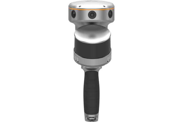
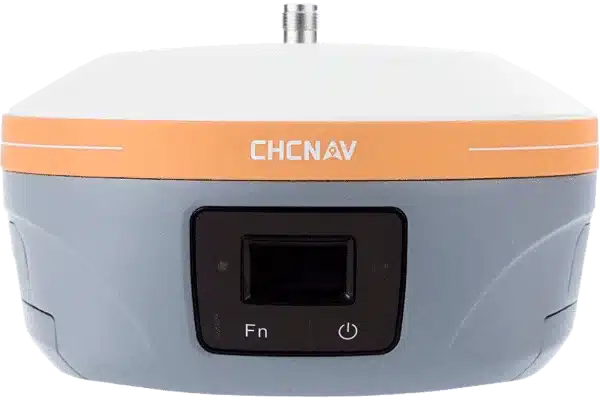
RS10
Datasheet
The RS10 brings a new approach to geospatial surveying by integrating GNSS RTK, laser scanning, and visual SLAM technologies into a single platform designed to improve the efficiency and accuracy of indoor and outdoor 3D scanning and surveying tasks. The RS10 is a versatile solution for surveying, civil engineering, and BIM professionals, as well as for applications such as agricultural and forestry surveying, power line inspection, material pile volume calculation, and data collection in underground spaces.