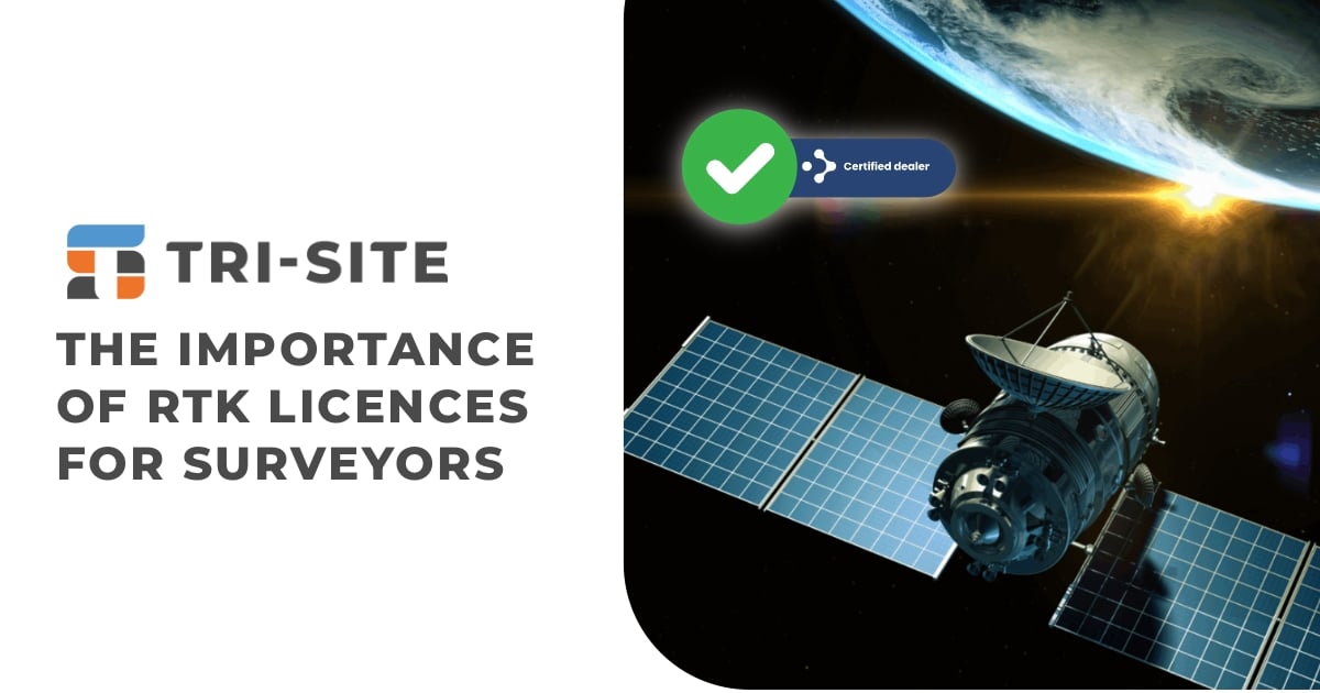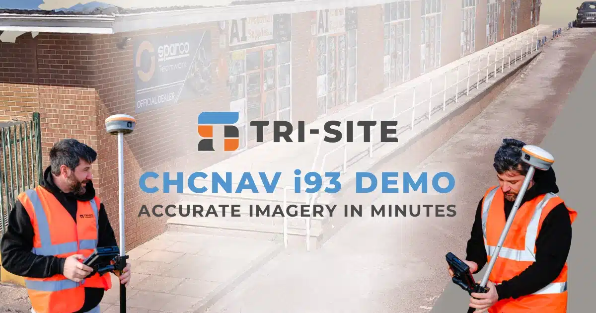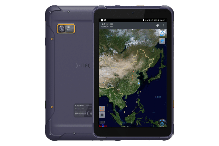


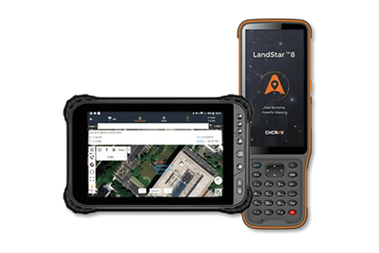


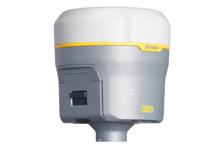

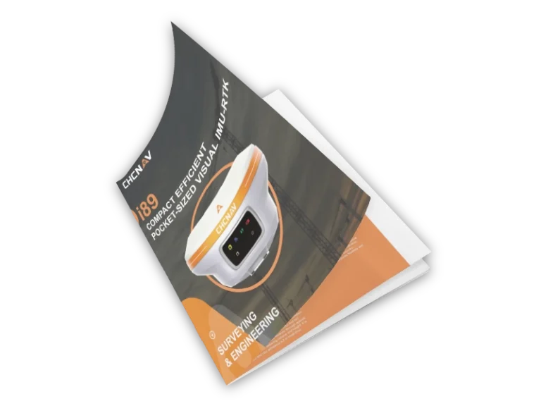


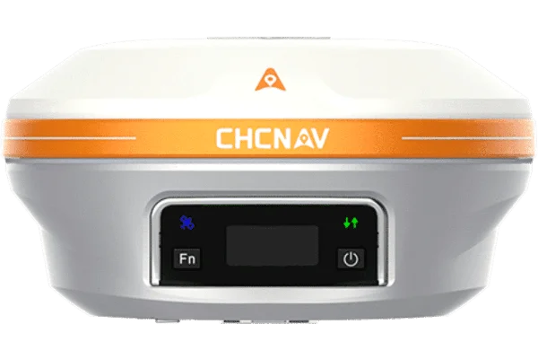
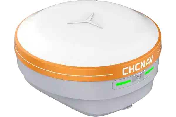
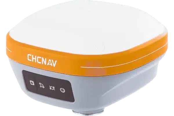
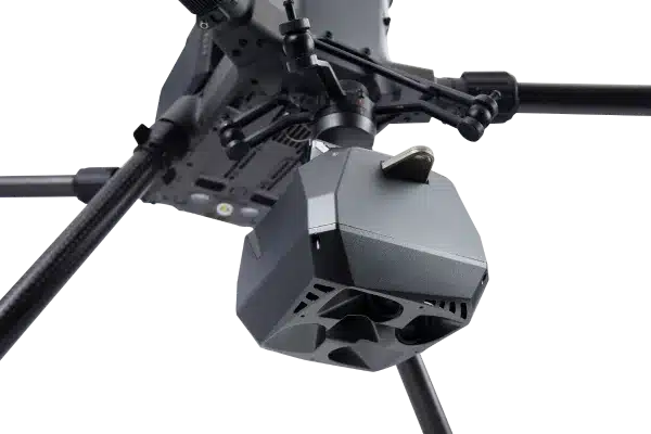

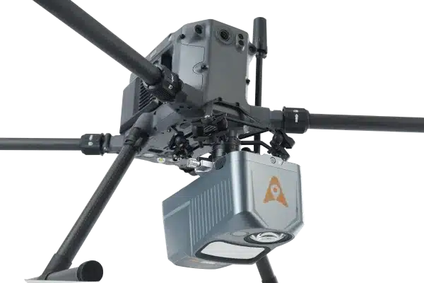

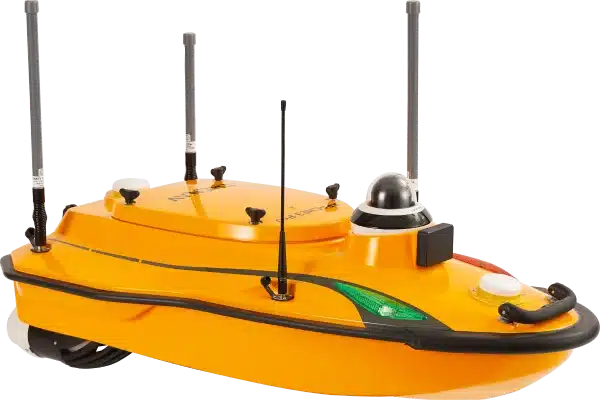

If you’re working with GNSS equipment in surveying, construction, agriculture, or utility mapping, having an RTK licence is essential to get the most accurate and reliable positioning data. RTK (Real-Time Kinematic) technology enhances standard GPS signals by providing centimetre-level accuracy in real time. Without it, your equipment may only achieve meter-level precision, which is not sufficient for many professional surveying tasks. RTK Licences are crucial in ensuring the data you collect on site is accurate.
Precision for Surveyors
At Tri-Site, we know that centimetre-level accuracy is critical for surveyors. RTK licences provide real-time correction data that significantly reduces positioning errors and drift. This accuracy is essential for a wide range of surveying tasks such as boundary surveys, topographic mapping, construction staking and volume calculations. With reliable RTK corrections, surveyors can work more efficiently, avoid expensive rework and meet project deadlines.
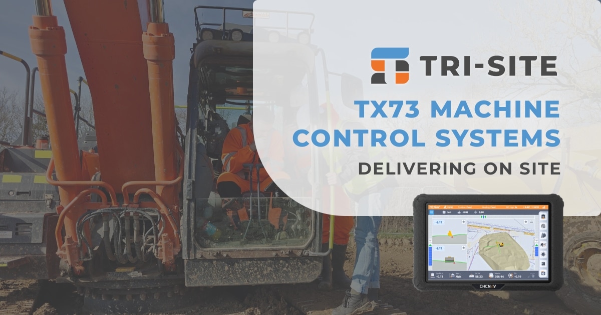
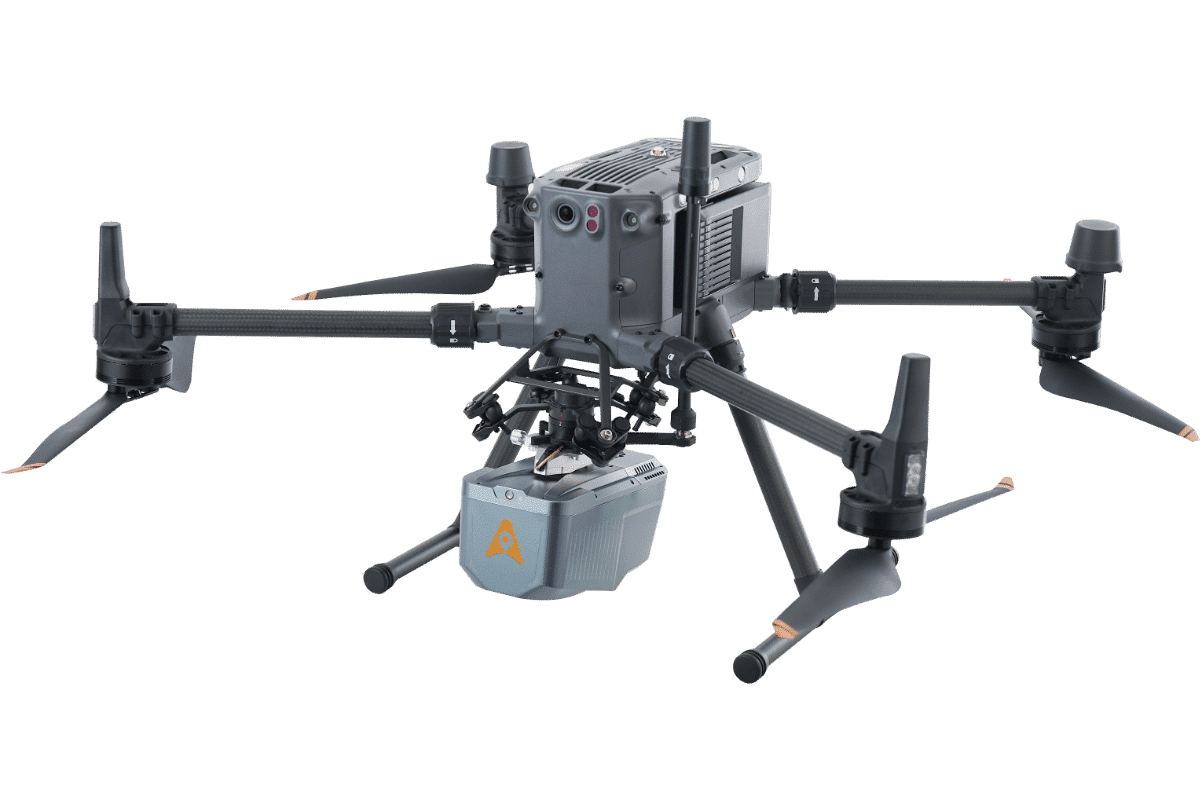
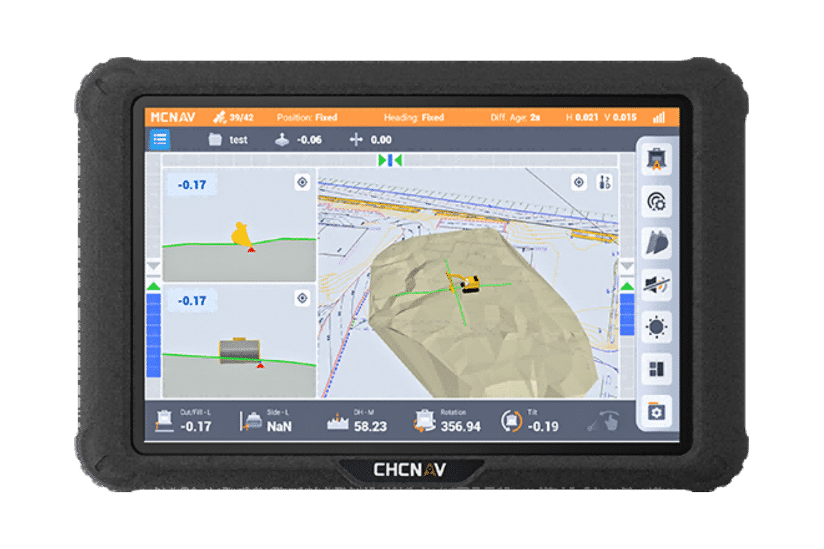
RTK licences also play a crucial role in machine control applications. Accurate positioning ensures safe operation of machinery on site and helps improve productivity by guiding equipment precisely where it needs to be. In utility mapping and precision agriculture, RTK corrections enable the collection of high-quality data that supports better decision-making.
Without an RTK licence, positioning data can be unreliable, leading to mistakes that increase costs and delay projects. It can also compromise safety, especially in complex or high-risk environments where precise control of equipment is necessary.
Flexible RTK Licenses
We understand that no two projects are the same, which is why we offer a range of flexible RTK licence options. Whether you need a short-term licence for a one-off project, additional workload coverage, a longer-term licence for ongoing work or even limited usage plans, we have solutions designed to fit different schedules and budgets. This is why our RTK licences range from weekly to 3-year.
Licences are available with or without SIM cards, including true Multi-Network SIMs, depending on your existing setup. We also offer additional data packages for those who require more bandwidth for their GNSS devices. This allows you to pay only for what you need, ensuring continuous access to correction data without unnecessary expense.
As experienced surveyors ourselves, we’ve sourced and recommend only the best RTK licence services. We understand the challenges you face in the field, and we provide licences that deliver the reliability and accuracy you need to get the job done right.
With Tri-Site, you get fast, personalised service and expert advice on the best licence for your project. Our licences come with clear usage terms and support, so you can focus on surveying instead of troubleshooting.
Try a 30 day RTK trial !!
Our RTK licences are superb!!
Complete the form below and take advantage of a 30 day trial.
"*" indicates required fields
RTK Licenses
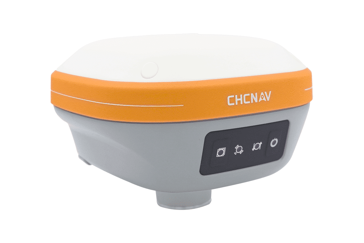
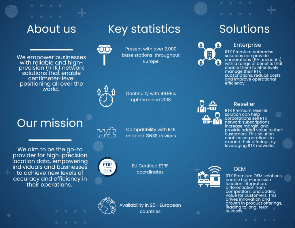
RTK Premium is our advanced GNSS correction service, built to deliver centimetre-level accuracy in real time. With precision of up to 1.5 cm, it ensures your GNSS-enabled equipment performs at maximum reliability wherever the job takes you.
Designed for industries where accuracy is critical, such as surveying, construction, precision agriculture, and utility mapping, RTK Premium provides a consistent, dependable correction stream. By reducing positional drift and eliminating delays, it allows field teams to work faster, minimise rework, and make confident decisions on site.
Whether you’re capturing data, guiding machinery, or setting out designs, RTK Premium gives you the accuracy and trust you need to get it right the first time.
Features
RTK (real-time kinematic) Premium is our premium GNSS correction service enabling you to reach centimeter (1.5 cm) accuracy instantaneously on your GNSS device. RTK is currently the most advanced GNSS based precise positioning technique available and is provided by using state of the art network modelling software. Our RTK Premium network has a UK coverage and proven technology over the years. It is already used in several industries to improve productivity, efficiency and accuracy of positioning activities.
Centimeter accuracy (<1.5 cm);
Dense network with more than 2000 base stations all over the world;
High availability solution with an uptime of 99,98%
Proven technology supporting more than 15.000 users;
Standard RTCM format;
Easy to implement and compatible with every GNSS device in your industry;
Very competitive pricing.