


Support
Got A Question?
If you dont find what you're looking for on these pages, feel free to contact us.

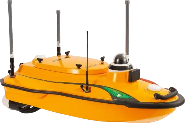
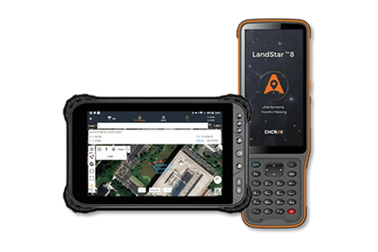
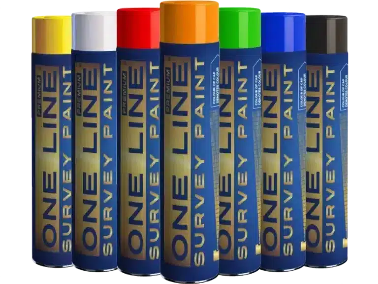
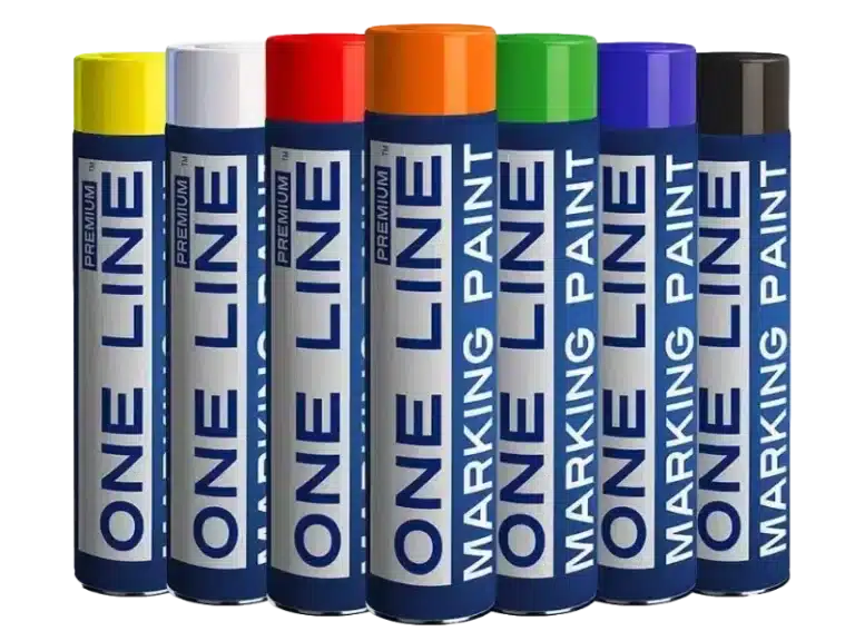
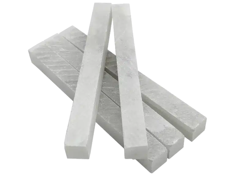
Supplies
Survey Supplies Online
Take a look at our product list. More items coming soon.

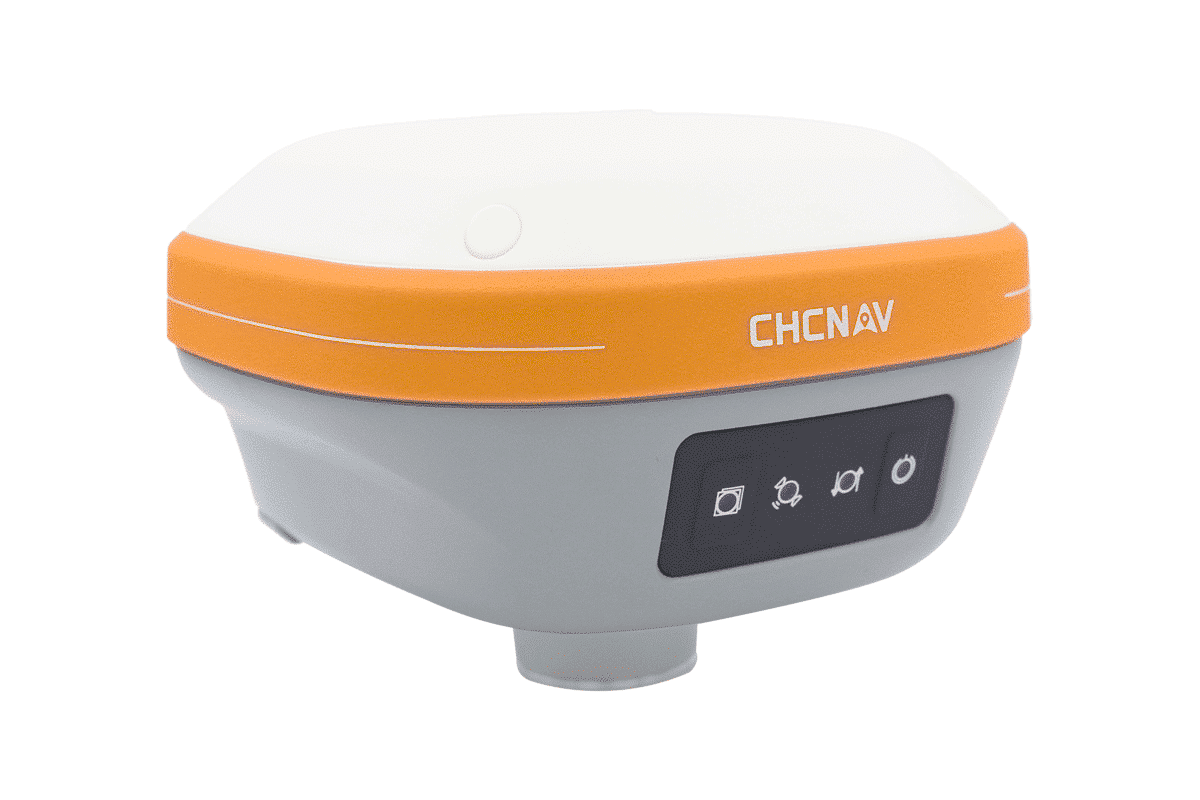

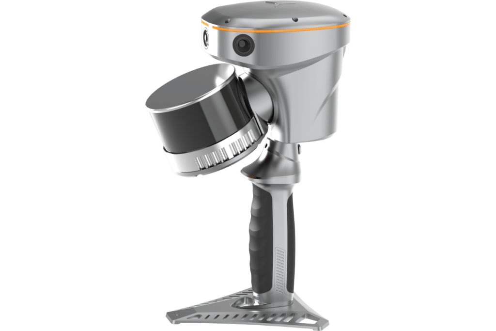
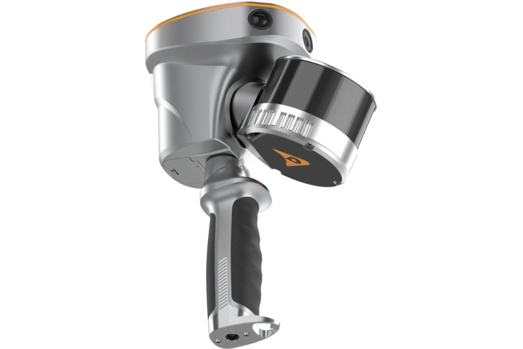
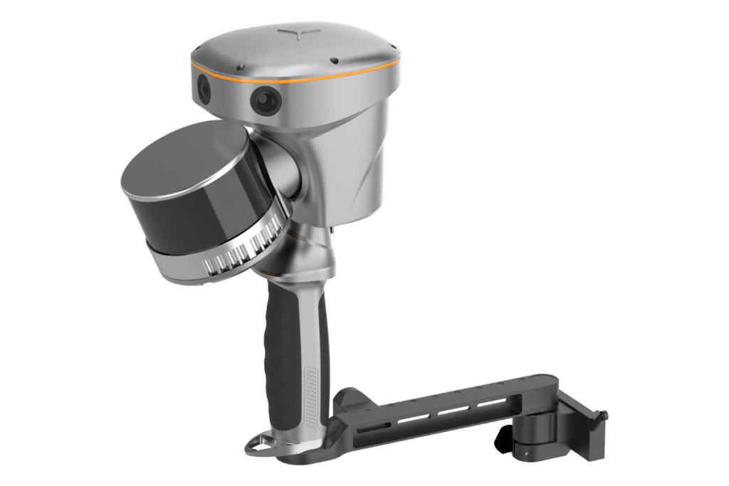
IBASE GNSS
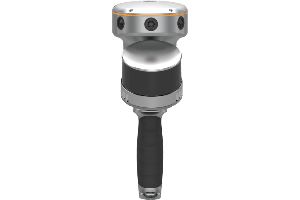
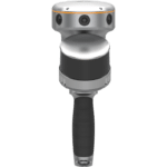
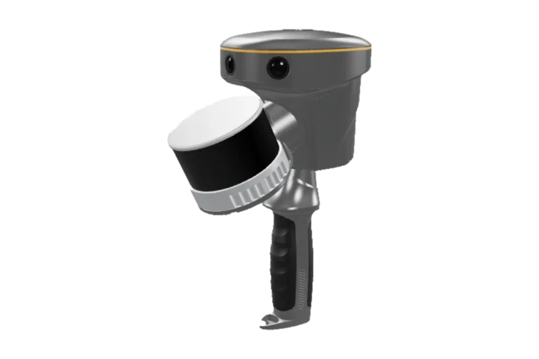
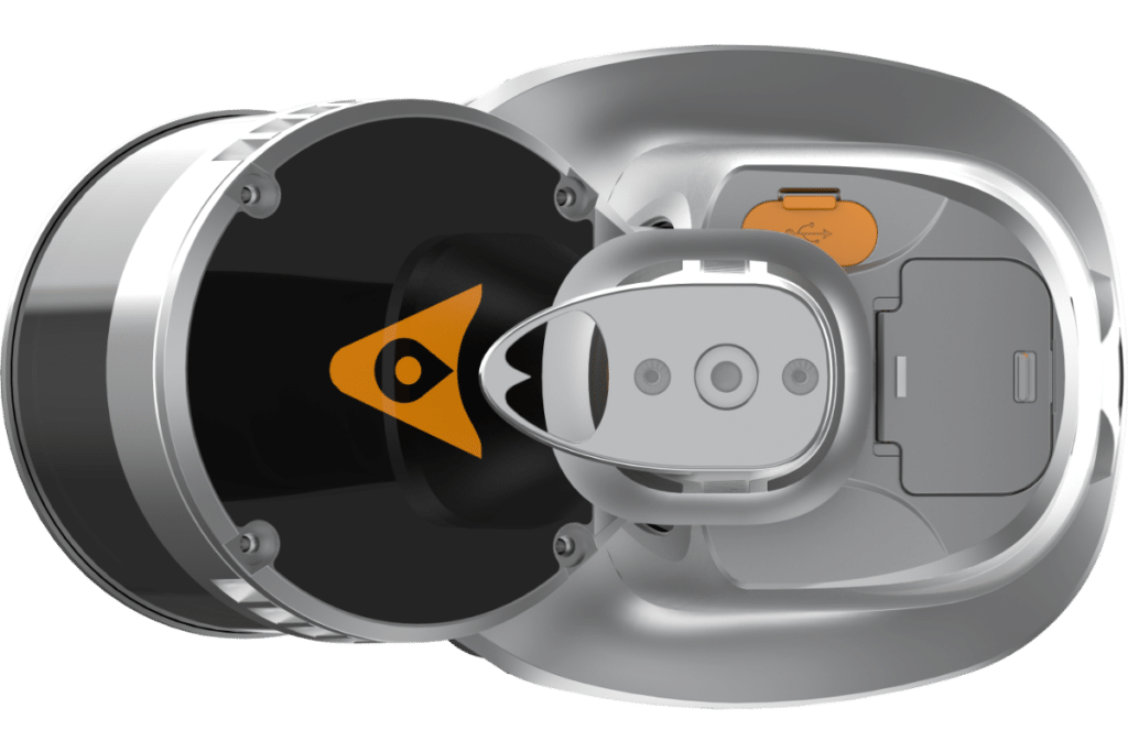
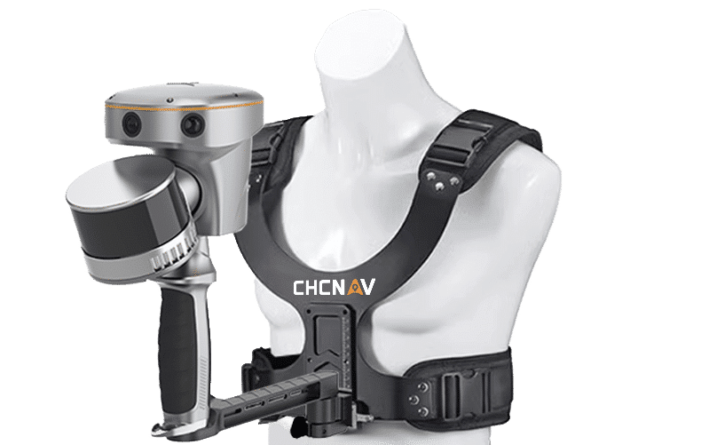
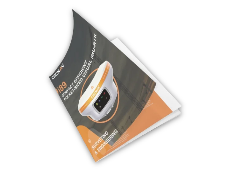
193 VISUAL IMU-RTK GNSS
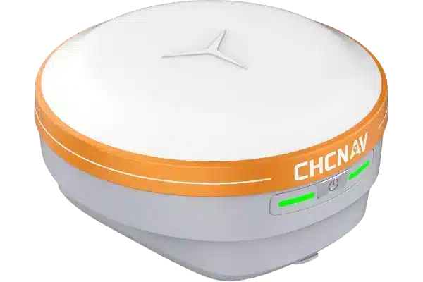
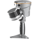
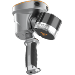
I76 PALM-SIZED VISUAL IMU-RTK GNSS
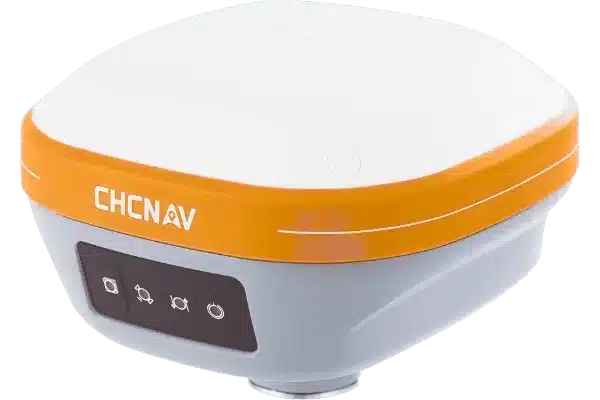
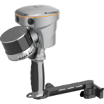
I73+ IMU-RTK GNSS
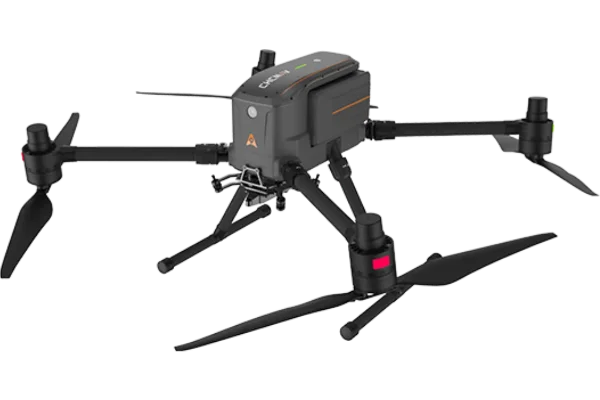
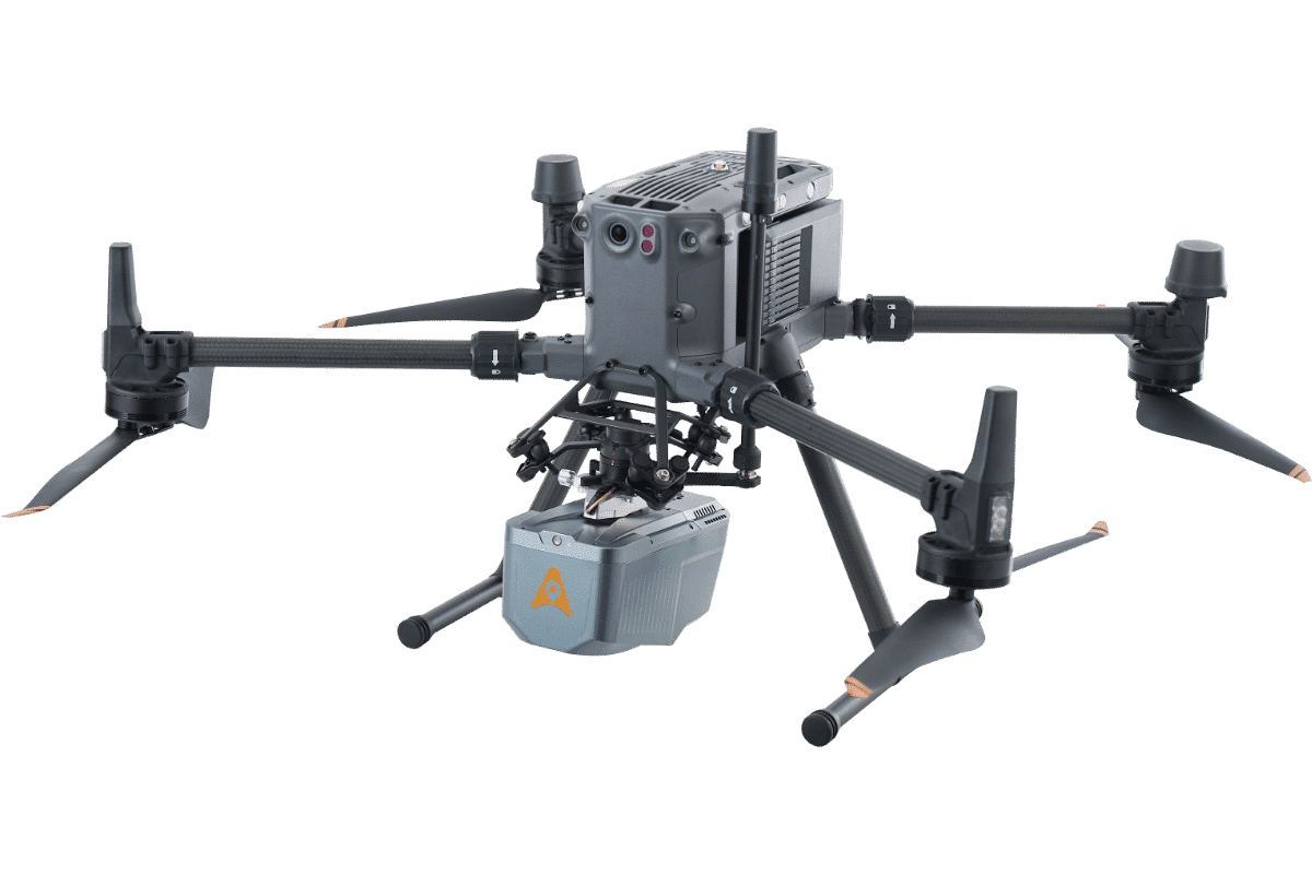
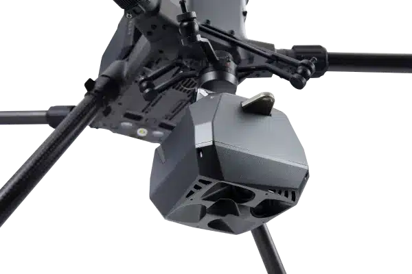
X500
C30
C5
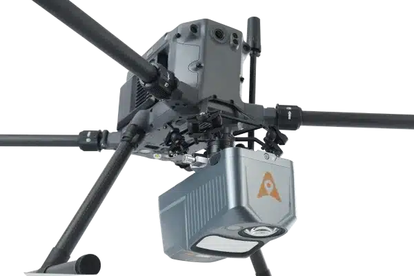
Alpha Air 10
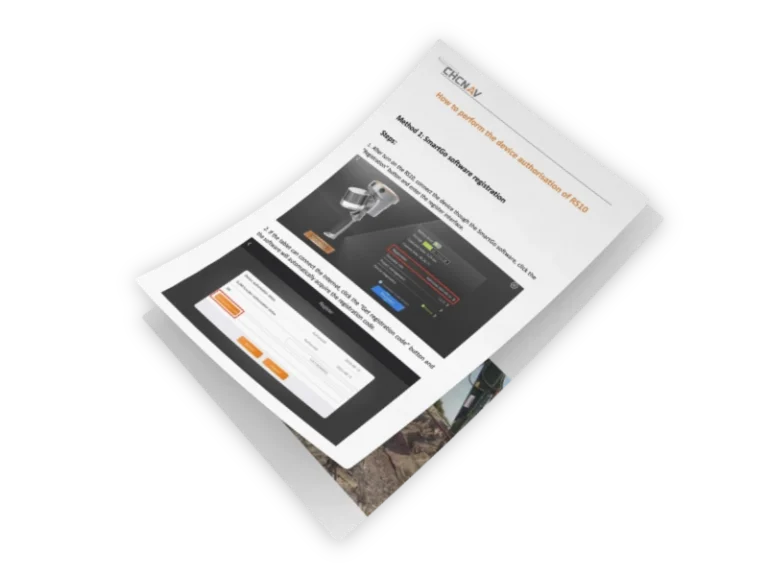
RS10 (120m)

RS10 (300m)
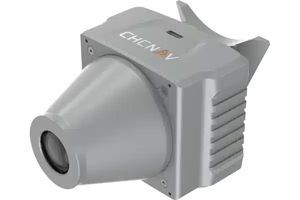
CHCNAV TX73