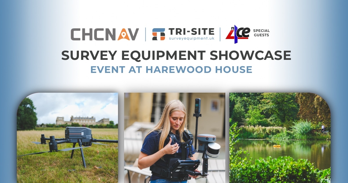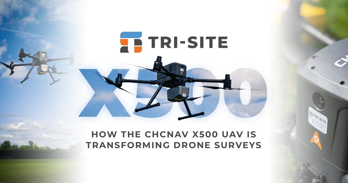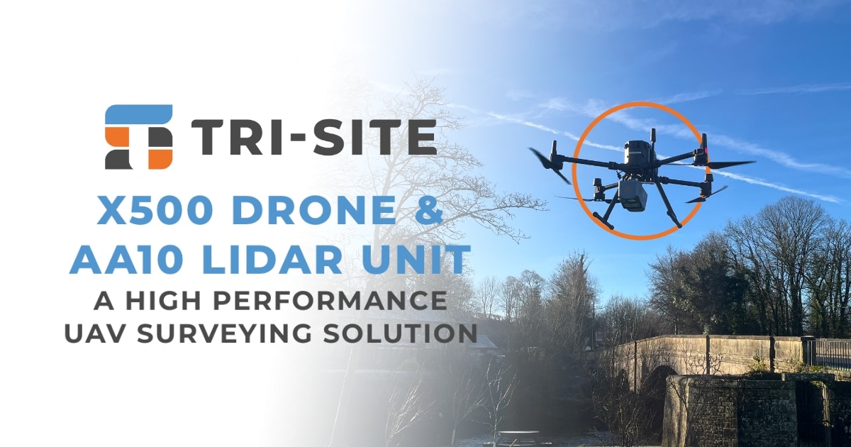


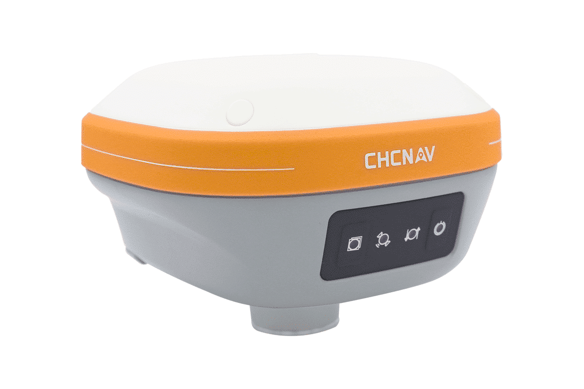
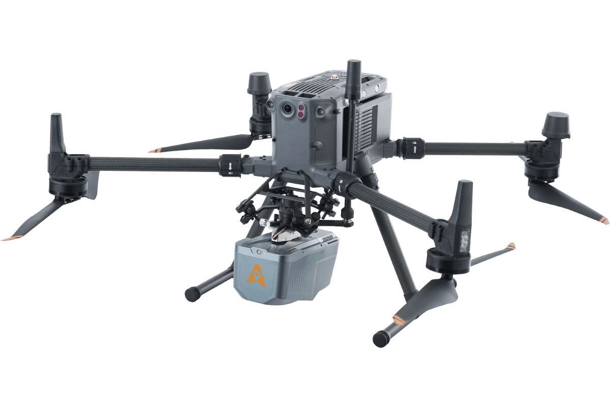

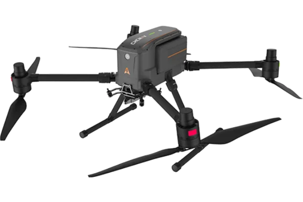

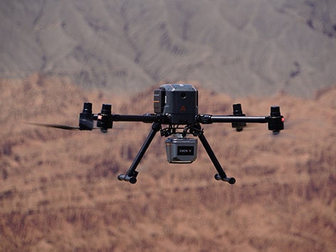
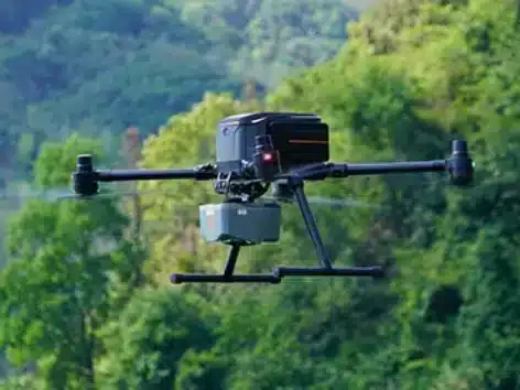
At Tri-Site, we are excited to introduce the CHCNAV X500 UAV—a game-changing professional drone designed to elevate aerial surveying and mapping standards in 2025.
The X500 sets new benchmarks in precision, efficiency, and versatility, making it an indispensable tool for surveyors, infrastructure inspectors, emergency response teams, and urban monitoring professionals.
Revolutionary Performance for Surveyors
Equipped with dual GNSS (Global Navigation Satellite System) capabilities, the X500 provides precise positioning and millimetre-level accuracy, essential for topographic mapping, construction monitoring, and environmental research. The drone also incorporates triple IMU (Inertial Measurement Unit) redundancy for enhanced stability and accuracy, even in challenging conditions. Additionally, the millimeter-wave radar ensures superior obstacle detection, which is crucial for safe and efficient surveying.
One of the most notable features of the X500 is its integration of V-SLAM (Visual Simultaneous Localization and Mapping) technology. This allows the drone to operate effectively in environments with limited GPS signal, such as dense urban areas or indoor spaces, and enables precise landings on moving platforms. The 20 km HD video transmission system provides real-time visibility, giving surveyors a clear view of the drone’s surroundings and mission progress, crucial for inspecting large infrastructures like bridges and power lines.
Maximum Efficiency, Minimal Downtime
In surveying, time is a critical factor. The X500 offers an impressive 58-minute flight time on a single battery charge, allowing professionals to cover large areas or complete complex tasks without frequent recharging. The hot-swappable battery system further minimizes downtime by enabling quick transitions between batteries, ensuring continuous operations.
The BS10 charging station plays a vital role in maximising operational efficiency. Capable of charging up to six batteries from 20% to 90% in just 40 minutes, it helps surveyors minimise waiting times and keep missions running smoothly. This fast charging capability is especially useful for long-day projects, ensuring that the X500 can be up and running quickly without long delays.
Versatile Payload Options for Any Mission
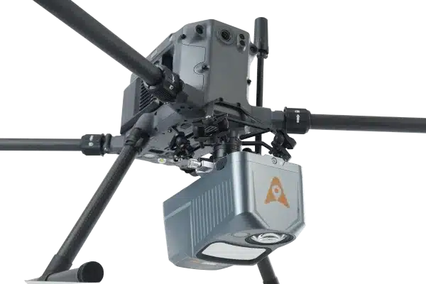
The CHCNAV X500 offers a 5 kg payload capacity, providing flexibility to carry a range of high-precision sensors. Whether for large-scale mapping, infrastructure assessments, or environmental monitoring, the X500 can be outfitted with the right tools for any job.
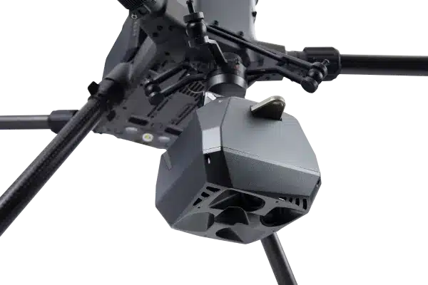
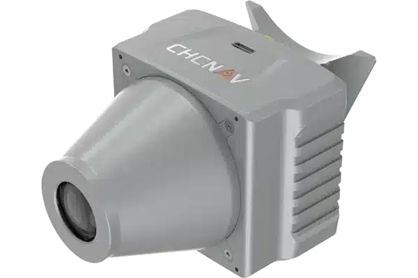
One of the standout payloads is the CHCNAV AA10 LiDAR sensor, which allows the X500 to conduct large-area surveys while still maintaining a 50-minute flight time. LiDAR is essential for capturing detailed elevation data, critical for topographic mapping and flood risk assessment. Beyond LiDAR, the X500 can carry thermal imaging cameras, multispectral sensors, and hyperspectral sensors, making it an ideal solution for industries like agriculture, forestry, and disaster response.
With an IP55 weatherproof rating, the X500 can operate in adverse conditions, withstanding winds of up to 12 m/s. This makes it a reliable tool for surveying in the UK’s unpredictable weather, allowing professionals to continue working year-round without worrying about performance issues.
Smart Mission Planning for Enhanced Productivity
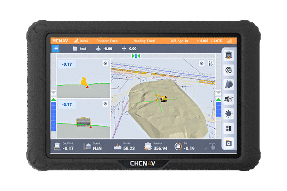
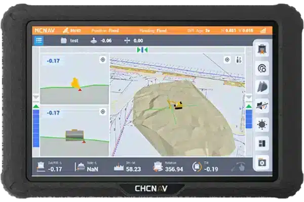
The X500 is powered by SmartGo, CHCNAV’s advanced ground control software, which simplifies mission planning and enables efficient operation. SmartGo allows surveyors to plan and execute complex missions like corridor mapping or large-area surveys with ease. It features real-time monitoring, which helps ensure that the drone stays on course and performs the mission successfully. The software also supports beyond visual line of sight (BVLOS) operations, enabling professionals to conduct missions over vast areas without needing to maintain direct visual contact.
The automated flight route optimisation and AI-driven terrain awareness features reduce human error, ensuring high levels of accuracy and safety during missions. These intelligent features are particularly valuable for large-scale projects, where efficiency and precision are paramount.
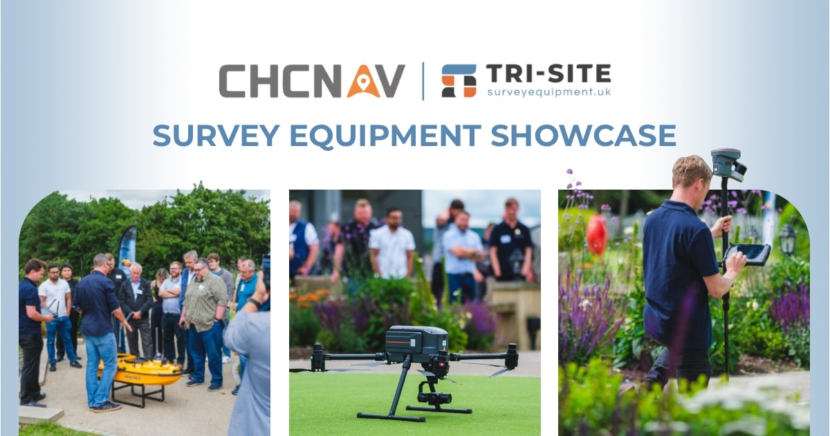
Tri-Site: Bringing the Best in Surveying Technology to the UK
As a fresh and innovative supplier born from the expertise of Tri-Tech and Site Surveying Services, Tri-Site is committed to providing UK surveyors with the latest, most innovative technology to improve fieldwork efficiency and accuracy. The CHCNAV X500 is a prime example of the advanced solutions Tri-Site brings to the industry. With its high performance, versatility, and durability, the X500 is an essential tool for professionals looking to future-proof their workflows.
The demand for accurate and efficient aerial data collection continues to grow, especially in the UK’s construction, infrastructure, and environmental sectors. The CHCNAV X500 meets these challenges head-on, offering surveyors a reliable platform to gather high-quality data quickly and efficiently. Tested by Surveyors, Used by Surveyors, and Sold by Surveyors, Tri-Site ensures that the X500 is a tool designed with the practical needs of professionals in mind.
Contact us to learn more about how the X500 can transform your aerial surveying capabilities and keep you at the forefront of the industry in 2025.
Features
This combination ensures precise positioning and orientation, which is essential for accurate mapping and data collection, even in challenging environments.
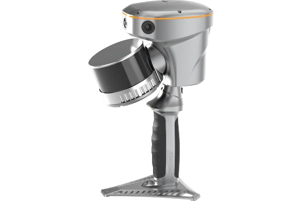
Our devices can carry a range of sensors, from LiDAR systems to cameras, enabling versatile applications from surveying to environmental monitoring.
With long flight durations, UAV systems can cover large areas in a single mission, improving operational efficiency and reducing the need for frequent recharges.
Equipped with advanced GNSS and IMU technology, our UAV systems provide precise data that is ideal for creating detailed 3D models and maps.
The drone can follow pre-programmed routes while ensuring flight safety.