


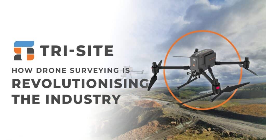
The surveying industry has undergone significant transformations over the years, with technological advancements continuously improving accuracy, efficiency, and safety. One of the most groundbreaking innovations in recent times is drone surveying. Unmanned Aerial Vehicles (UAVs), commonly known as drones, are revolutionising the way surveyors collect and analyse data. By providing faster, safer, and more cost-effective solutions, drone technology is reshaping the industry and setting new standards for geospatial data collection.
Speed and Efficiency
Traditional surveying methods require extensive groundwork, time-consuming setup, and manual data collection, which can take days or even weeks to complete. Drone surveying significantly reduces this time by capturing high-resolution images and geospatial data within hours. Equipped with advanced sensors, drones can survey large and complex sites in a fraction of the time required by conventional methods. This rapid data acquisition allows projects to move forward faster, improving overall productivity and efficiency.
Enhanced Accuracy and Precision
Accuracy is a critical factor in surveying, and drones are equipped with cutting-edge technologies such as LiDAR (Light Detection and Ranging) and RTK (Real-Time Kinematic) GPS to deliver highly precise measurements. These technologies enable surveyors to create detailed 3D models, topographic maps, and digital elevation models with centimetre-level accuracy. Unlike traditional methods, which may require manual calculations and adjustments, drone data is processed using sophisticated software, reducing human error and enhancing overall reliability.
Cost-Effectiveness
Surveying projects can be costly, especially when considering manpower, equipment, and operational expenses. Drone surveying reduces costs by minimising the need for large teams and expensive ground-based surveying tools. A single drone operator can cover vast areas, collecting data more efficiently than multiple ground surveyors. Additionally, the ability to rapidly collect data means fewer field visits, further reducing travel and labour expenses.
Accessibility and Versatility
One of the major limitations of traditional surveying is the difficulty in accessing hazardous or remote locations. Drones eliminate this challenge by providing aerial access to sites that would otherwise be dangerous or impractical for human surveyors. Whether it’s rugged terrain, high-risk construction zones, or environmentally sensitive areas, drones can safely capture high-quality data without endangering personnel.
Moreover, drones are highly versatile and can be adapted for various industries, including construction, agriculture, mining, and environmental monitoring. They can be equipped with different sensors, such as thermal cameras and multispectral imaging, to gather specialised data tailored to specific project needs.
Improved Safety
Surveying can be hazardous, particularly in areas with unstable ground, high altitudes, or active construction sites. Traditional surveyors often face risks associated with working near heavy machinery, steep cliffs, or hazardous materials. Drone surveying significantly reduces these risks by allowing surveyors to collect data remotely. This not only improves worker safety but also minimises the likelihood of accidents and project delays caused by dangerous conditions.
Seamless Data Integration and Processing
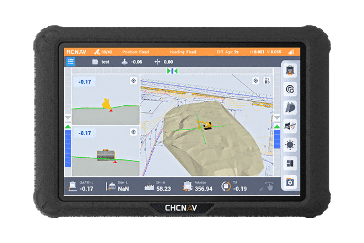
Another key advantage of drone surveying is its seamless integration with modern Geographic Information Systems (GIS) and Building Information Modelling (BIM) platforms. The high-resolution imagery and 3D models generated by drones can be easily imported into software for further analysis, making it easier for engineers, architects, and planners to make informed decisions. Advanced AI-powered tools can also process drone data to detect anomalies, track progress, and predict potential project challenges.
Environmental Benefits
Traditional surveying methods often involve disturbing the land, clearing vegetation, or using fuel-powered equipment that contributes to carbon emissions. Drone surveying, on the other hand, has a much smaller environmental footprint. By reducing the need for heavy machinery and minimising ground disturbance, drones offer a more sustainable and eco-friendly approach to land surveying and mapping.
Conclusion
Drone surveying is a game-changer in the surveying industry, offering unmatched speed, accuracy, cost-efficiency, and safety. As technology continues to evolve, drones will become an even more integral part of geospatial data collection, helping professionals work smarter and more efficiently. With their ability to access hard-to-reach locations, integrate with advanced data processing tools, and reduce environmental impact, drones are setting a new standard for modern surveying.
For businesses and professionals looking to enhance their surveying capabilities, adopting drone technology is no longer an option—it’s a necessity. Embracing this innovation will ensure that projects are completed faster, safer, and with greater precision than ever before.
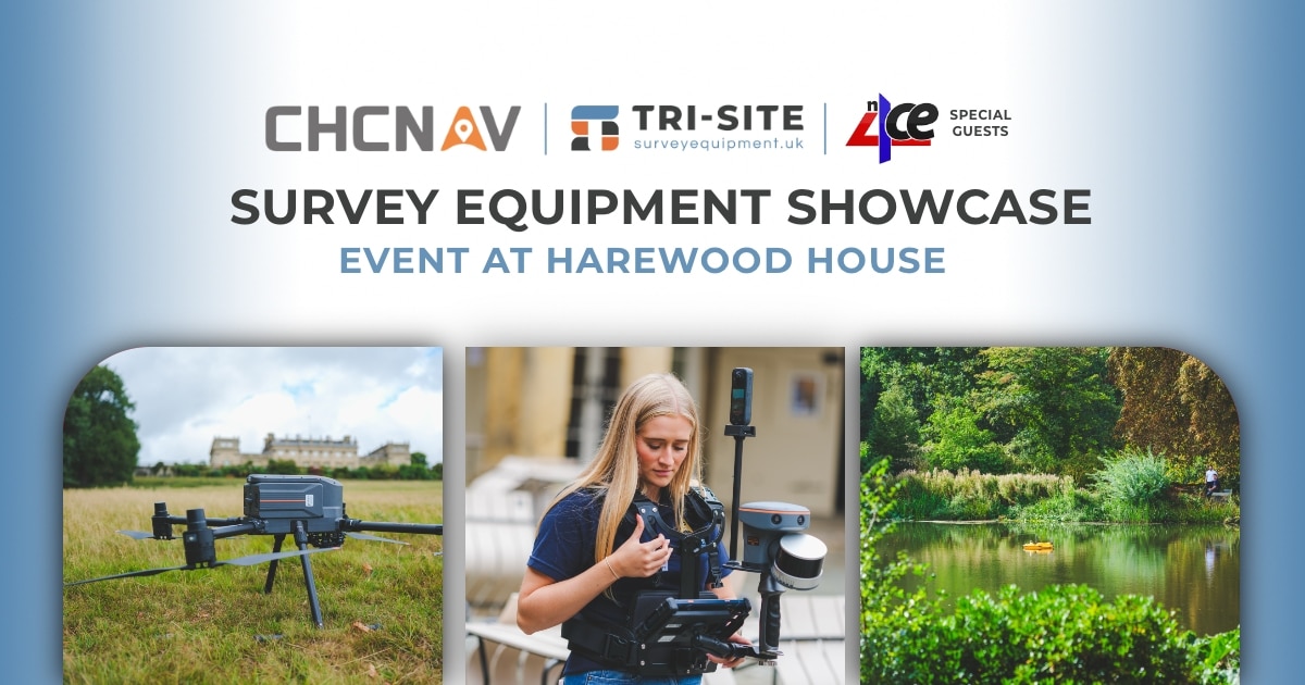
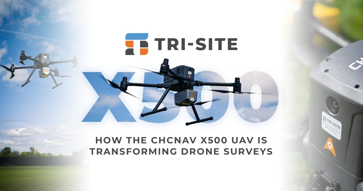
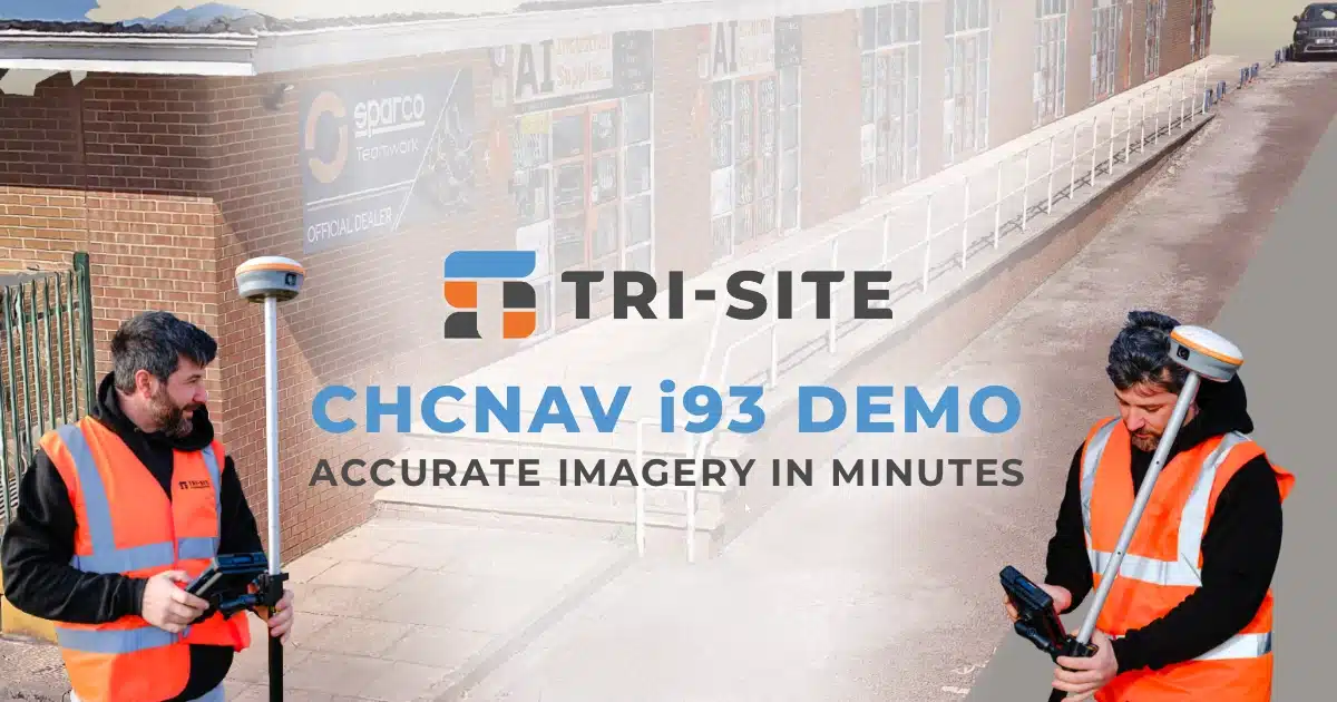
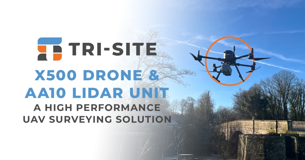
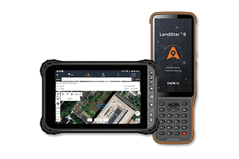
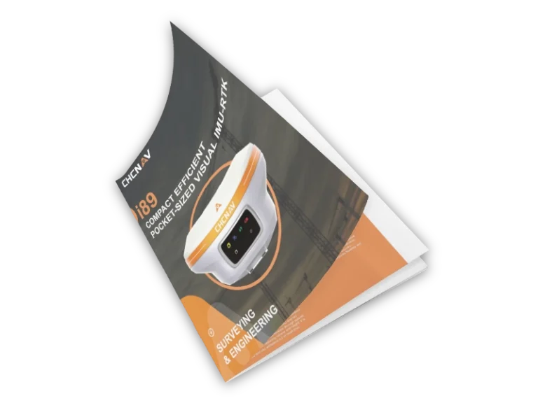
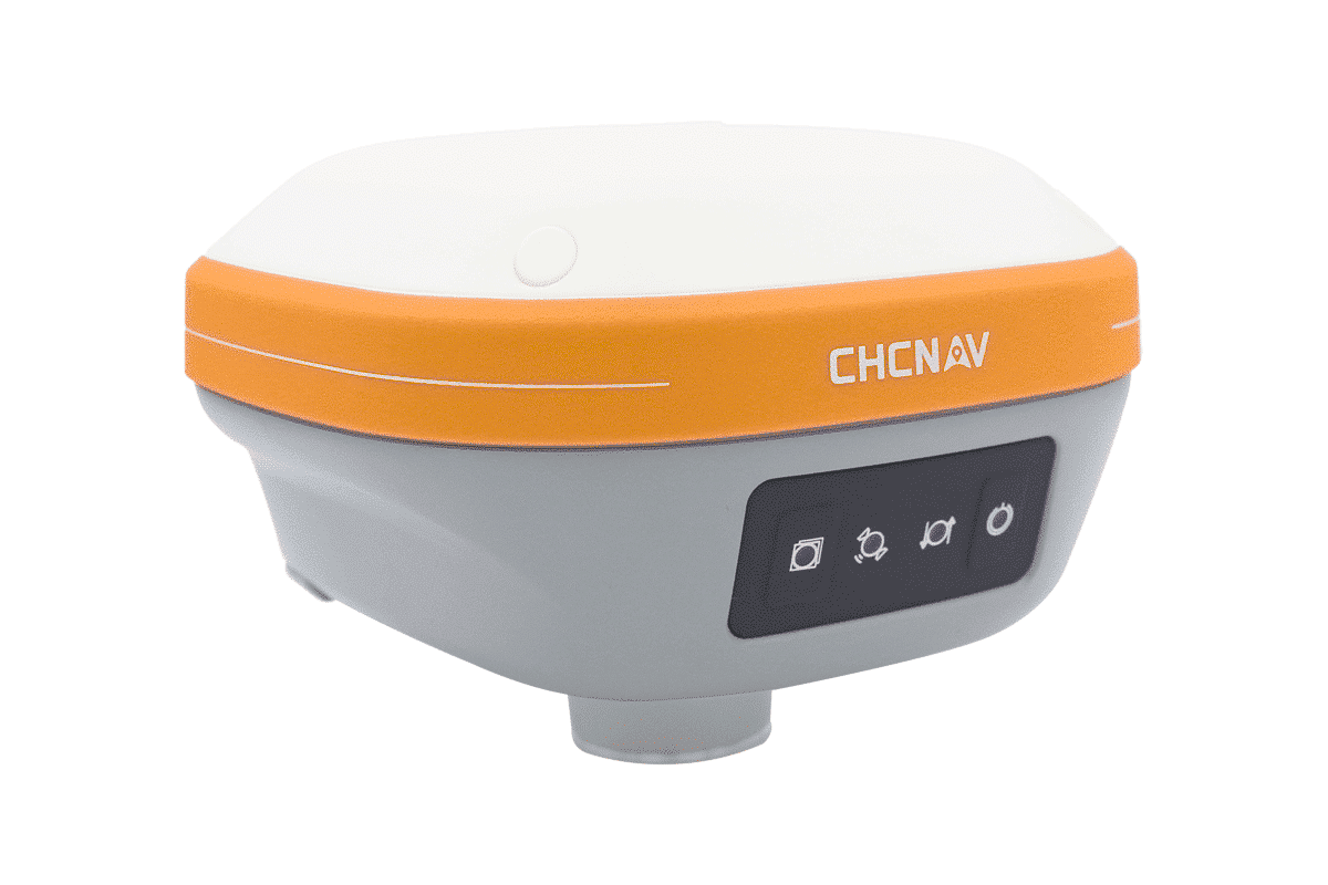
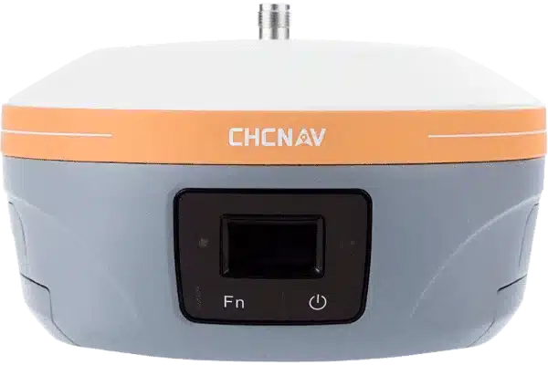
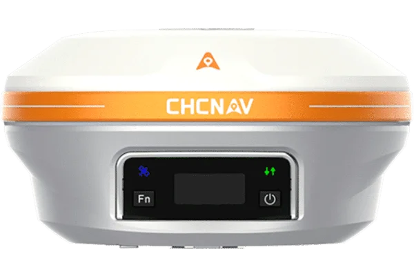
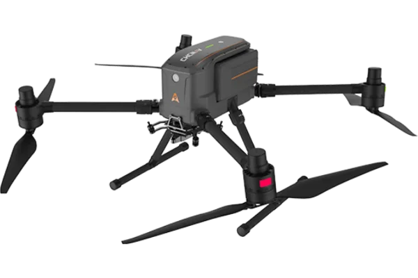
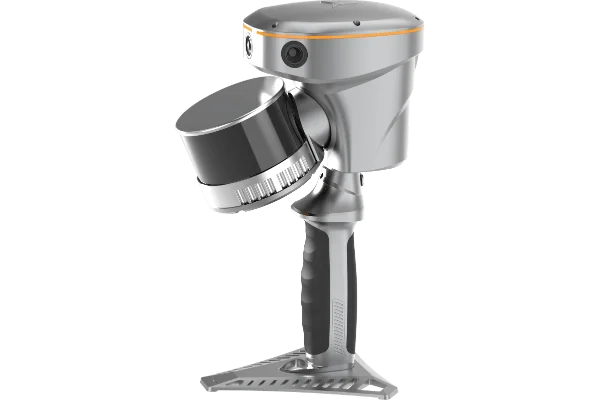
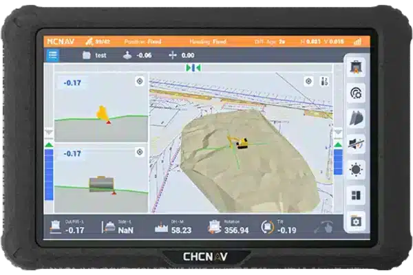
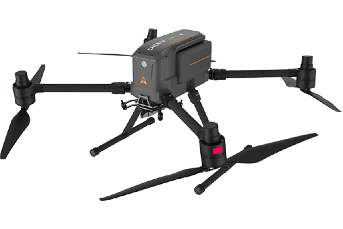
Using Tri-Site
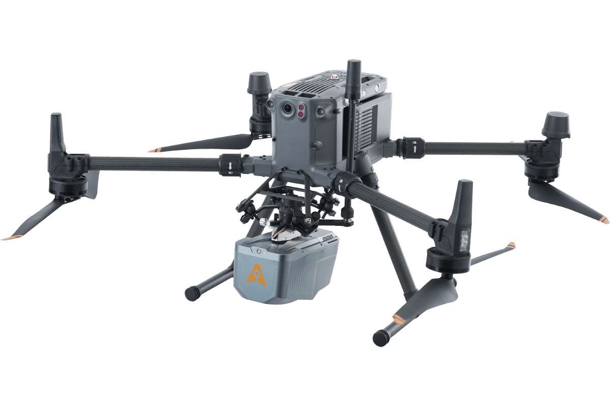
At Tri-Site, we recognise UAV systems’ transformative role in modern surveying, mapping, and inspection tasks. Our experience in the surveying industry ensures we know what professionals need when it comes to UAV technology, from ease of operation to high-performance capabilities.
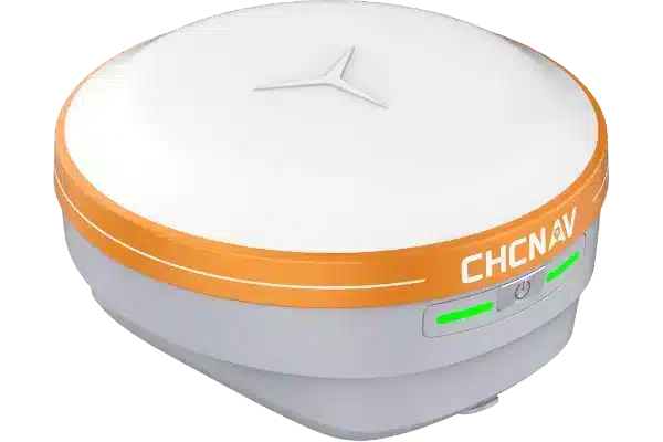
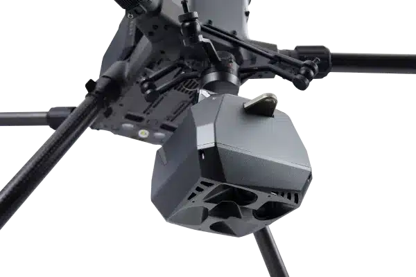
Features
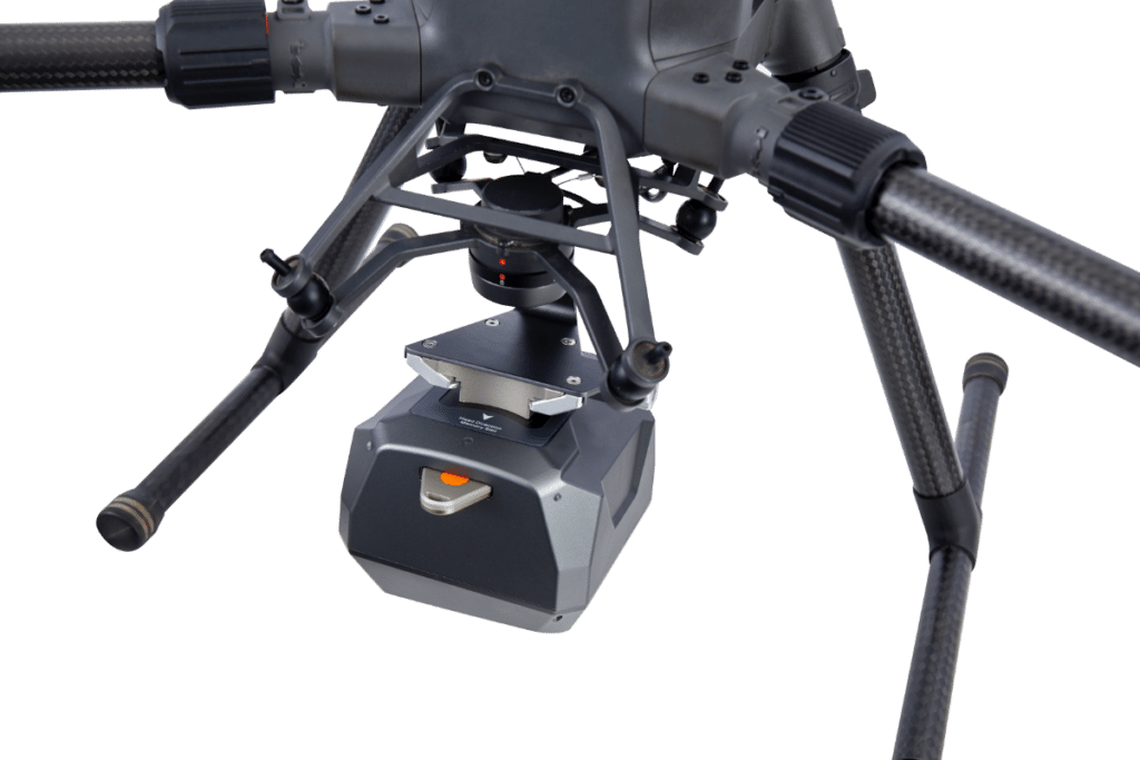
This combination ensures precise positioning and orientation, which is essential for accurate mapping and data collection, even in challenging environments.
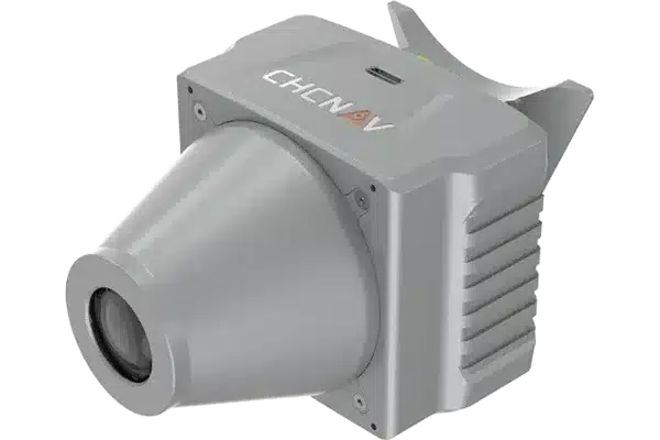
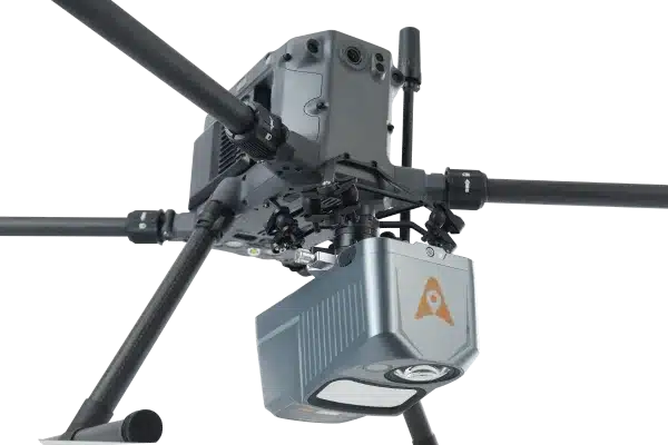
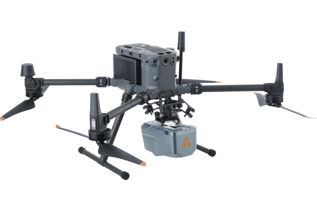
Our devices can carry a range of sensors, from LiDAR systems to cameras, enabling versatile applications from surveying to environmental monitoring.
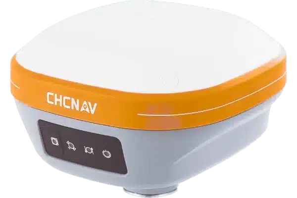
With long flight durations, UAV systems can cover large areas in a single mission, improving operational efficiency and reducing the need for frequent recharges.
Equipped with advanced GNSS and IMU technology, our UAV systems provide precise data that is ideal for creating detailed 3D models and maps.
The drone can follow pre-programmed routes while ensuring flight safety.