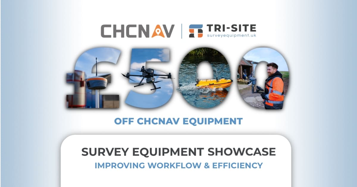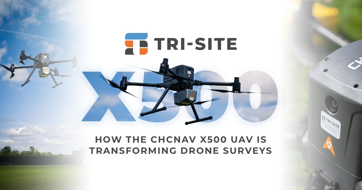


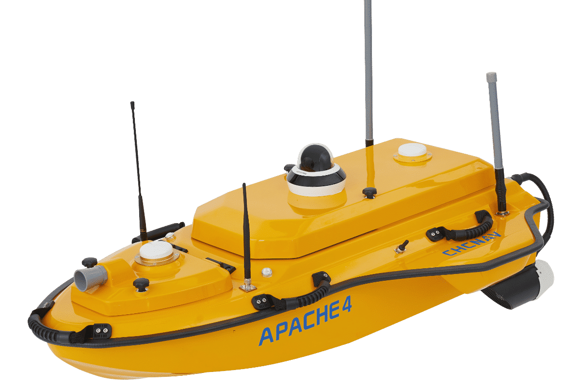
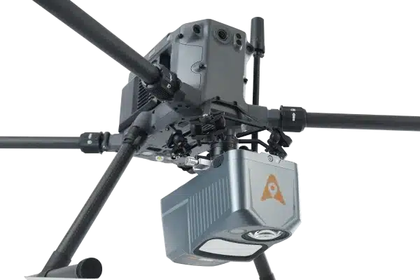

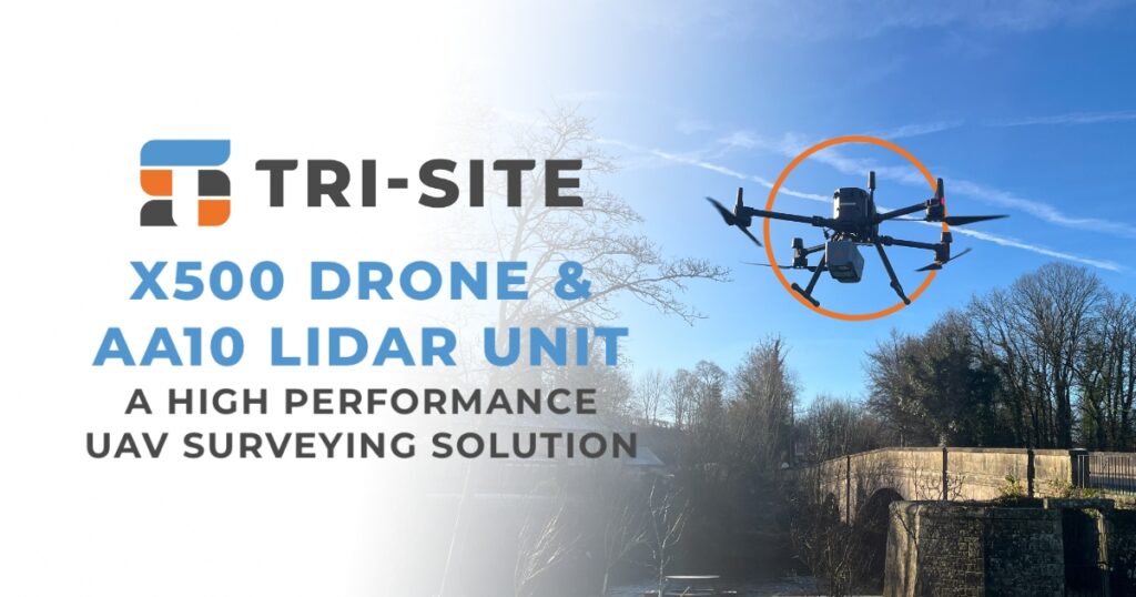
For surveyors, engineers, and mapping professionals who need reliable data collection in the field, the combination of the CHCNAV X500 UAV and Alpha Air 10 LiDAR system offers a robust, no-nonsense solution built for real-world demands
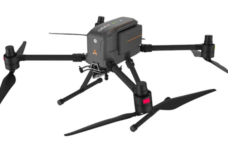
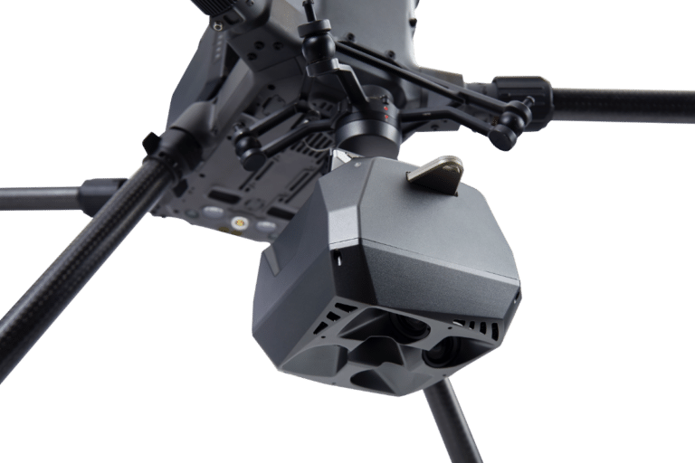
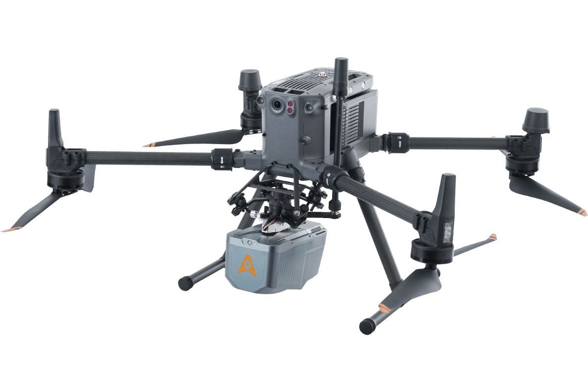
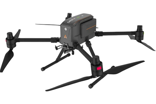
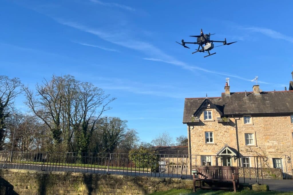
chcnav X500 drone
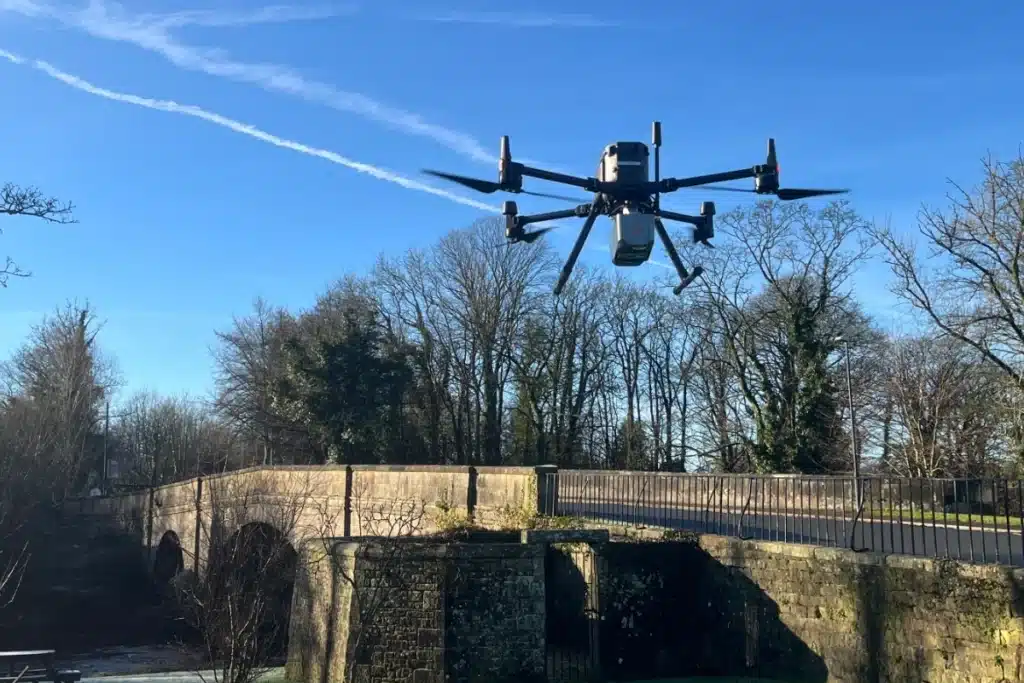
The CHCNAV X500 is a heavy-lift UAV designed for extended flight times and consistent performance under load. It offers up to 58 minutes of flight without a payload, 52 minutes when carrying 2kg, and 40 minutes with a 4kg payload; impressive figures that allow large areas to be covered in fewer flights. With an IP55 weather resistance rating, the X500 can be confidently deployed in the often unpredictable conditions typical of fieldwork. It supports a wide range of payloads and is capable of flying up to 20km from the operator.
The system delivers strong results in terms of data quality. The X500 supports real-time correction via NTRIP and works with the CHCNav iBase, which logs at 1Hz intervals for accurate post-processed kinematic (PPK) corrections. This ensures centimetre-level positioning accuracy, even in areas where the GNSS signal may be weak or inconsistent.
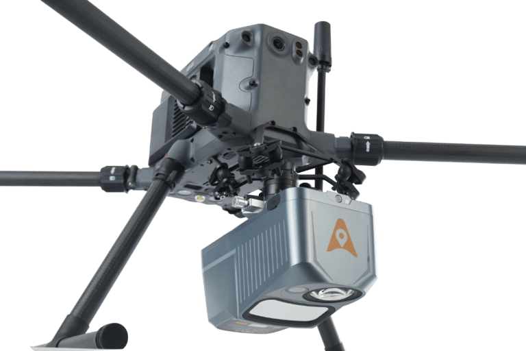
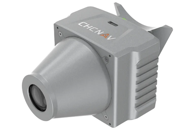
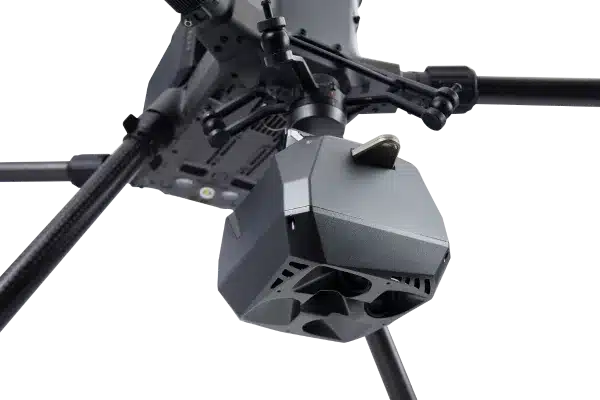
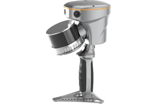
chcnav AA10 LiDAR
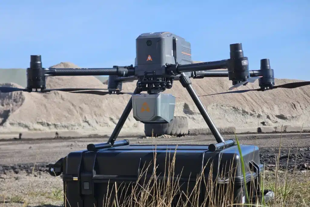
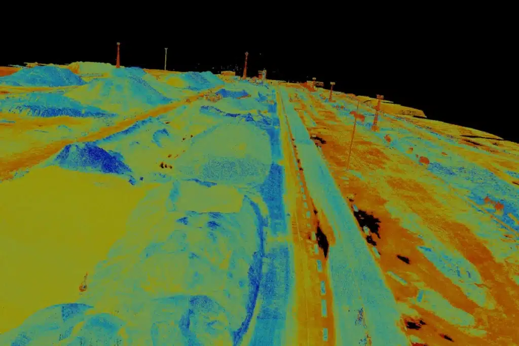
The AA10 LiDAR sensor, mounted to the X500, is designed for high-quality aerial scanning in diverse terrain types. At just 1.55kg, it’s light enough to maximise flight time without sacrificing capability. It captures 500,000 points per second and uses an eight-return laser to penetrate dense vegetation, ideal for generating clean surface models in wooded or overgrown environments. Its 280m range allows for efficient coverage over wide expanses, and the integrated 45MP RGB camera adds sharp, high-resolution imagery to complement the point cloud. The AA10 is also compatible with other platforms, including the DJI M300 and M350, offering additional operational flexibility.
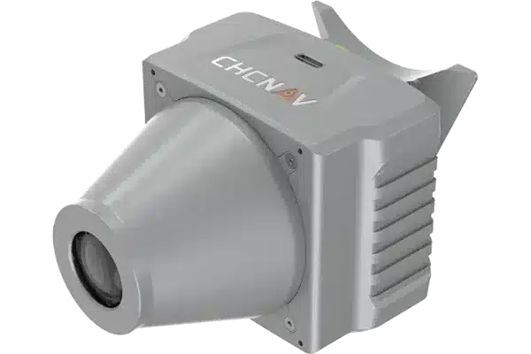
Clean & Detailed Data Capture
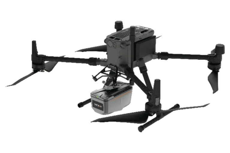
The AA10 LiDAR sensor, mounted to the X500, is designed for high-quality aerial scanning in diverse terrain types. At just 1.55kg, it’s light enough to maximise flight time without sacrificing capability. It captures 500,000 points per second and uses an eight-return laser to penetrate dense vegetation, which is great for generating clean surface models in wooded or overgrown environments.
Its 280m range allows for efficient coverage over wide expanses, and the integrated 45MP RGB camera adds sharp, high-resolution imagery to complement the point cloud. The AA10 is also compatible with other platforms, including the DJI M300 and M350, offering additional operational flexibility.
Designed for the Realities of Field Work
This combination is particularly well suited to a variety of common and complex surveying jobs. In infrastructure and civil engineering, it’s ideal for corridor mapping, railways, roads, and pipelines, where fast, accurate data capture over long distances is essential. It supports regular progress monitoring, cut-and-fill volume calculations, and site modelling in construction. In environmental work, it excels in forestry surveys, floodplain analysis, and habitat mapping, thanks to its ability to see through dense canopy cover.
The system is equally effective in mining applications, enabling pit surveys, stockpile measurement, and haul road analysis. Utility companies can also benefit, using the X500 and AA10 for powerline inspection, vegetation encroachment monitoring, and asset management.
A Dependable UAV System
Together, the X500 and AA10 offer a practical, flexible, and high-performing UAV system. It enables survey-grade results in fewer flights, with less time spent in post-processing, and with the reliability required for professional use in the field. Get in touch, and we can offer an in-person demonstration of this system.