


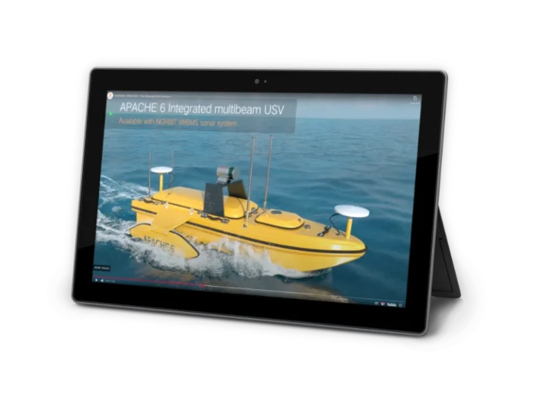


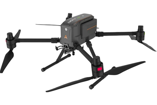

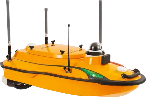
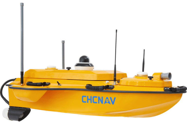
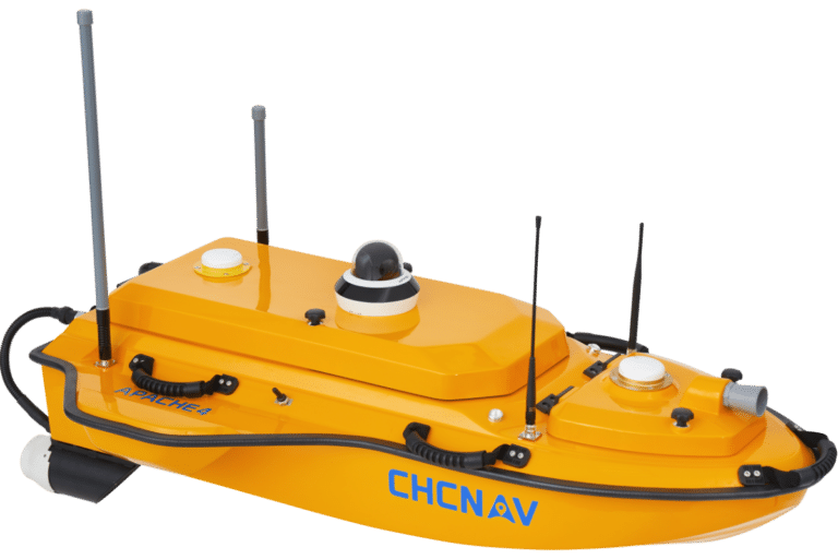
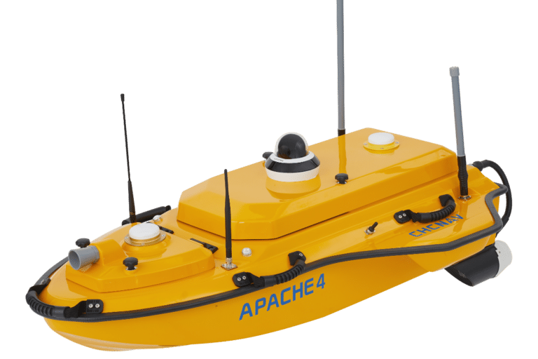
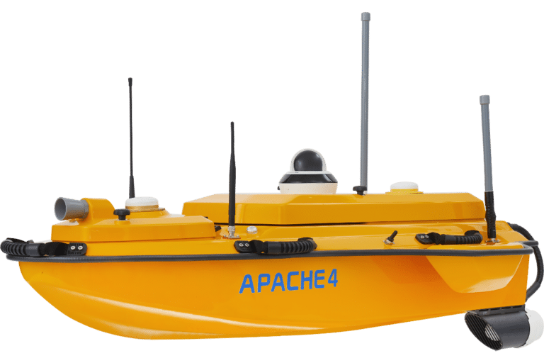
CHCNAV Apache4 USV
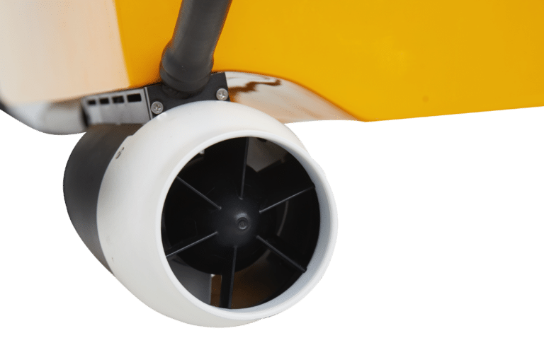
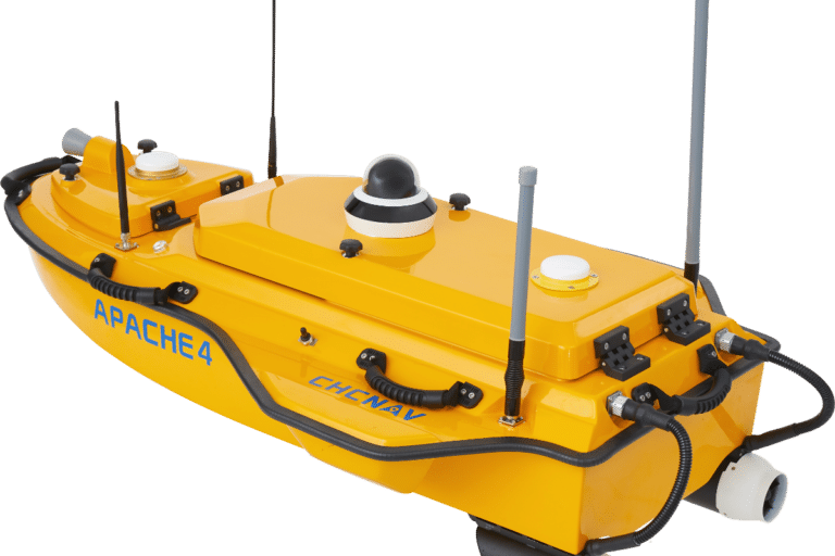
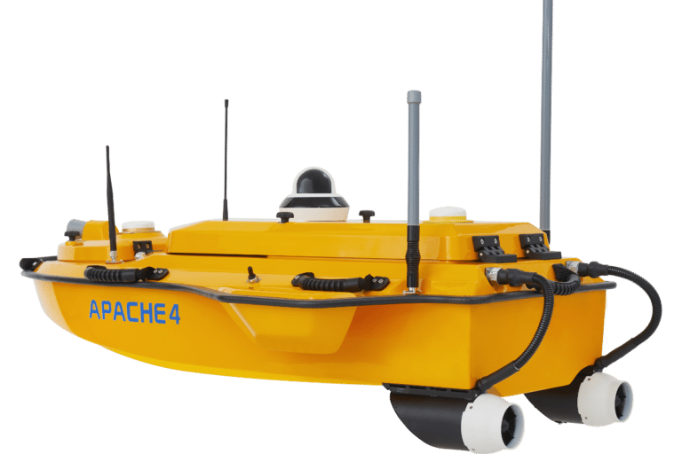
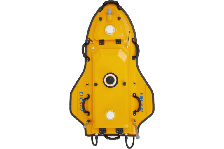
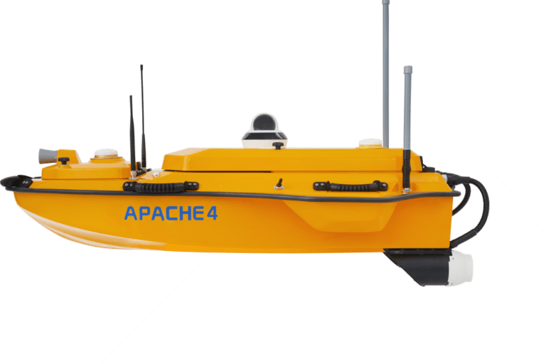
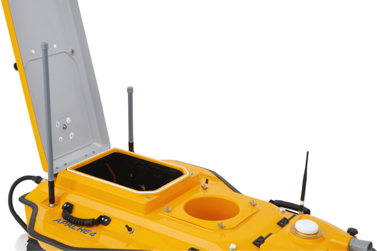
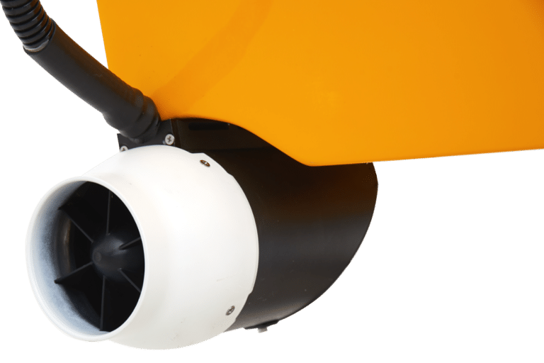
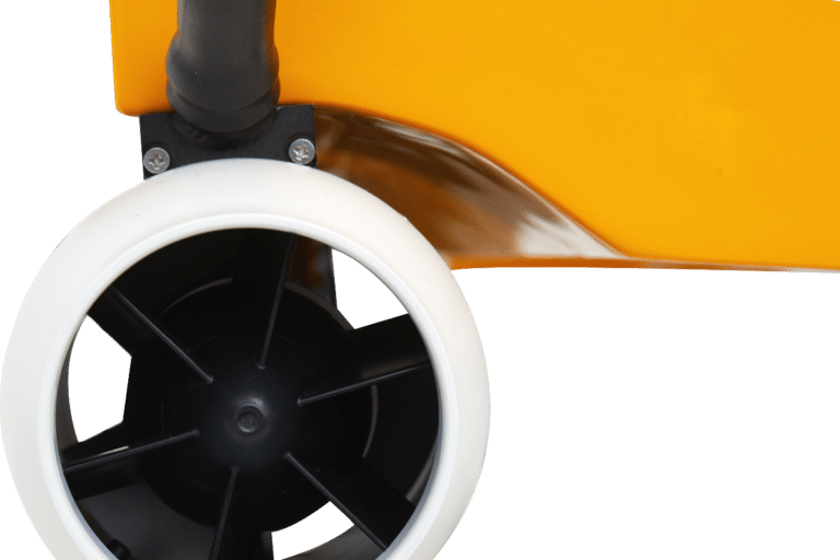
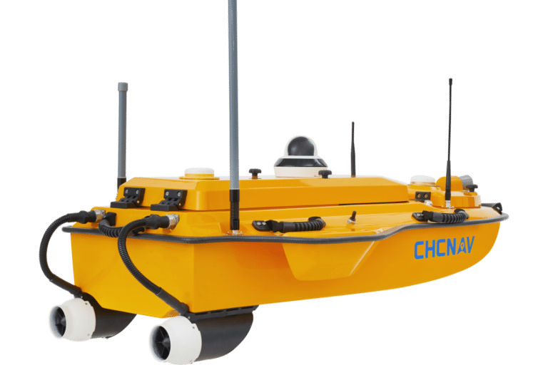
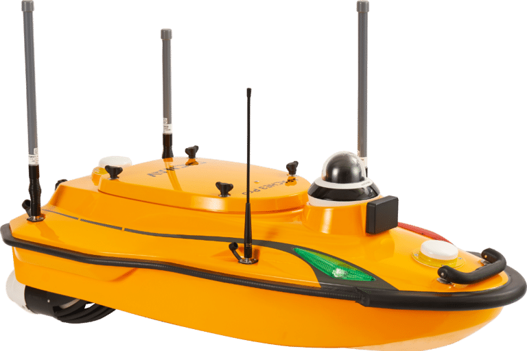
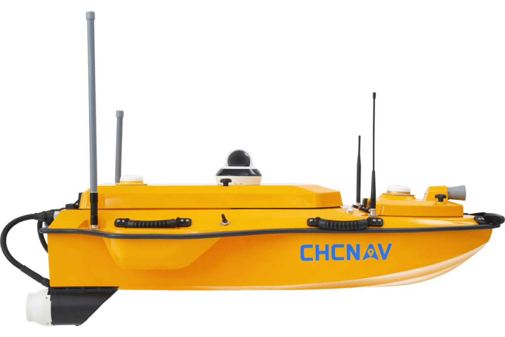
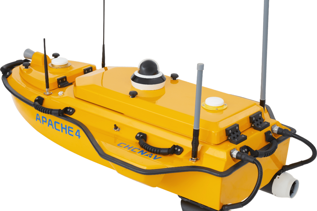
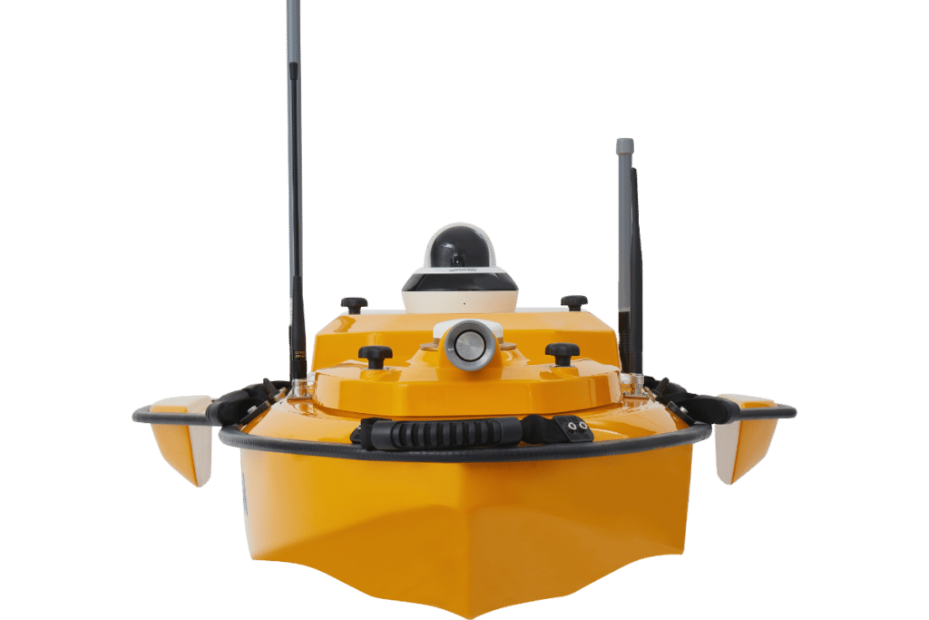
The CHCNAV APACHE 4 is an Unmanned Surface Vessel (USV) that supports a wide variety of Acoustic Doppler Current Profiler (ADCP) systems available on the market. It offers an unmanned operation solution with a shallow draft, high navigational accuracy, and stable hovering for hydrologists when measuring water flow velocity and discharge of a current section. Very compact, it enables easy handling at the mission site, facilitates safe launching, and convenient transportation by car.


Marine System Products
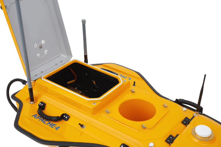
ADVANCED NAVIGATION CONTROLLER
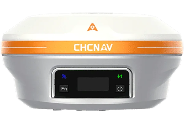
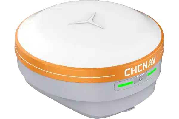
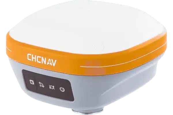
Marine Systems
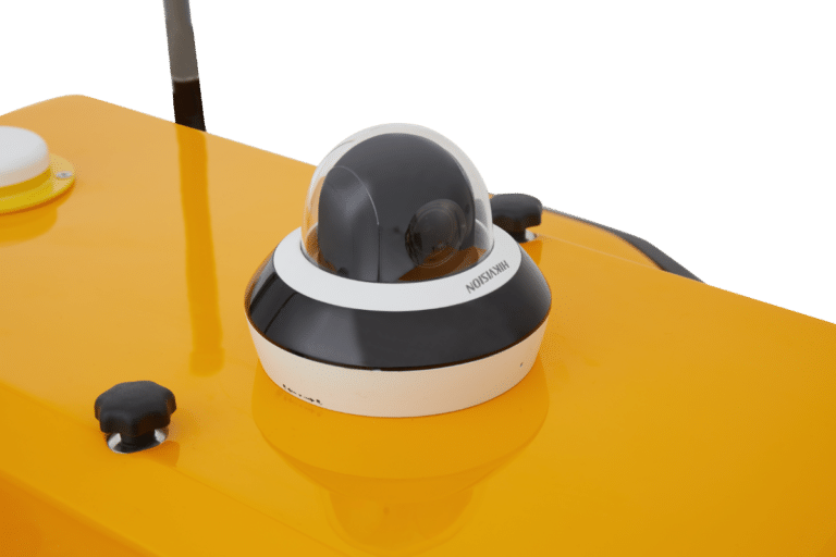
COMPATIBLE WITH COMMON ADCPs
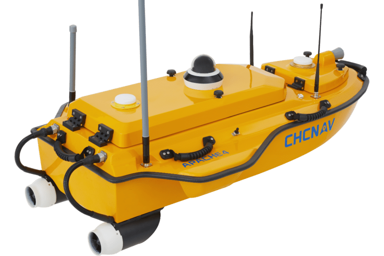
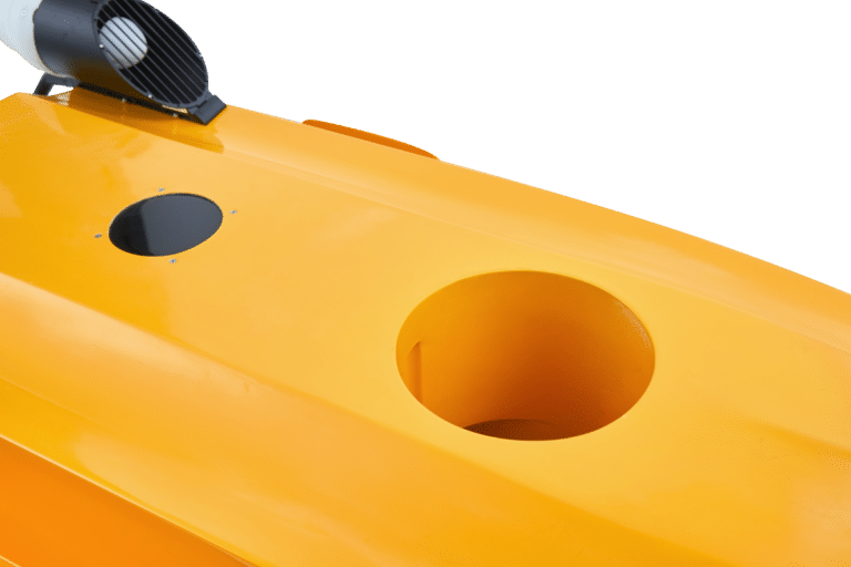
The APACHE 4 central access shaft design provides unmanned cross-sectional flow measurement solutions for the leading ADCPs on the market. The APACHE 4 is particularly suited for hydrologists using ADCP sensors such as the M9, RTDP 1200, RiverPro, and RiverRay, who are looking for an integrated, portable, and affordable unmanned solution. It does not only carry the ADCP but also provides its positioning, orientation, power, waterproofing, network, and 4G transmission solutions.
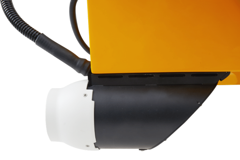
BUILT-IN SINGLE BEAM ECHO SOUNDER
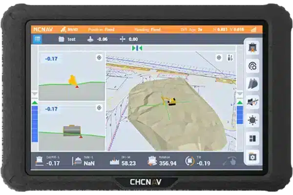
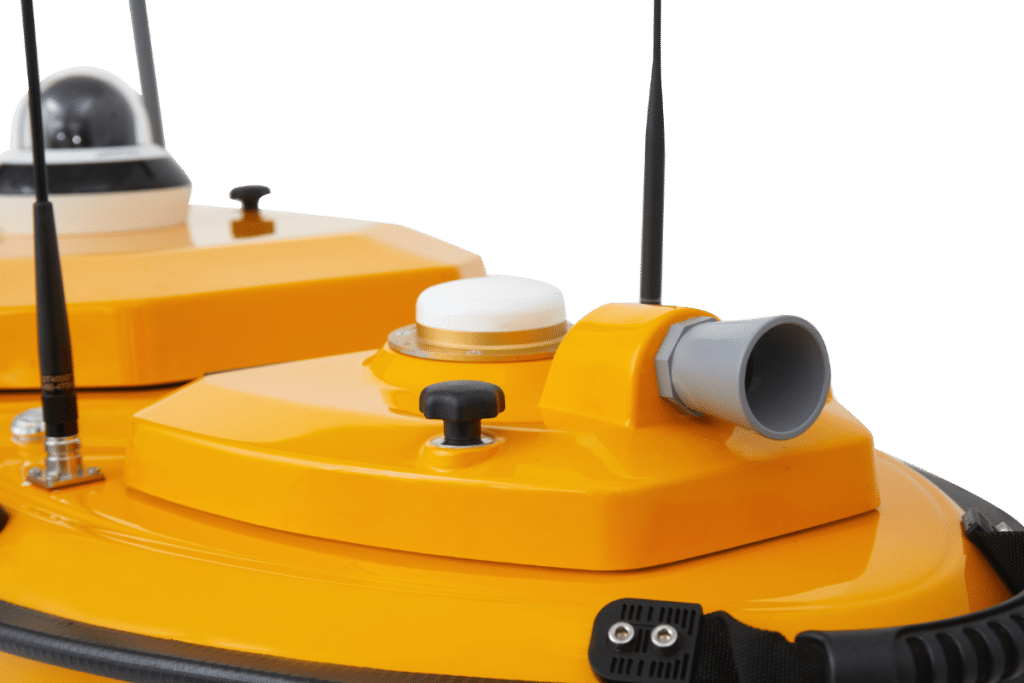
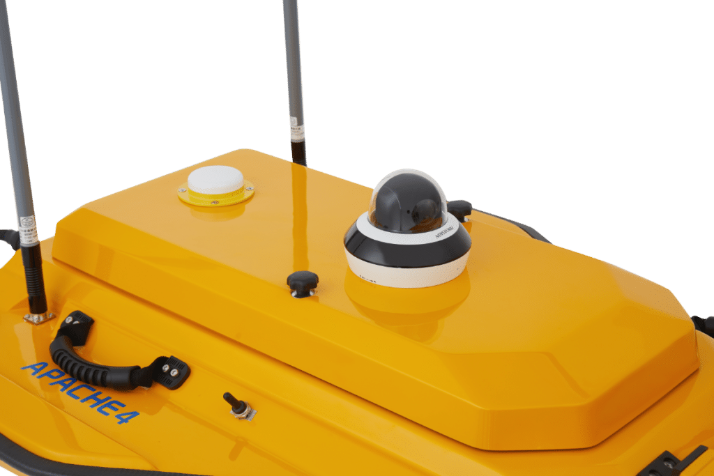
SMART POSITIONING AND NAVIGATION
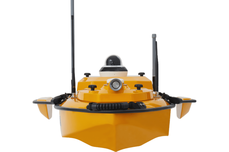
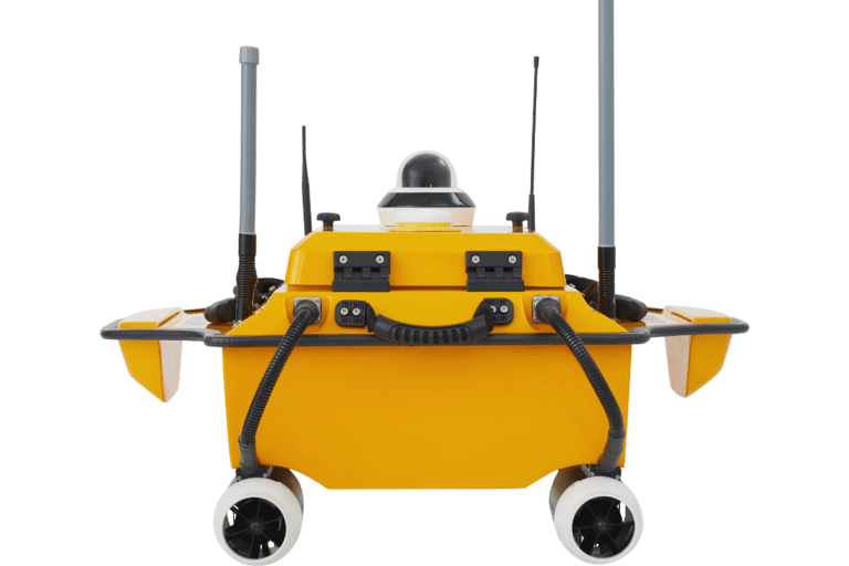
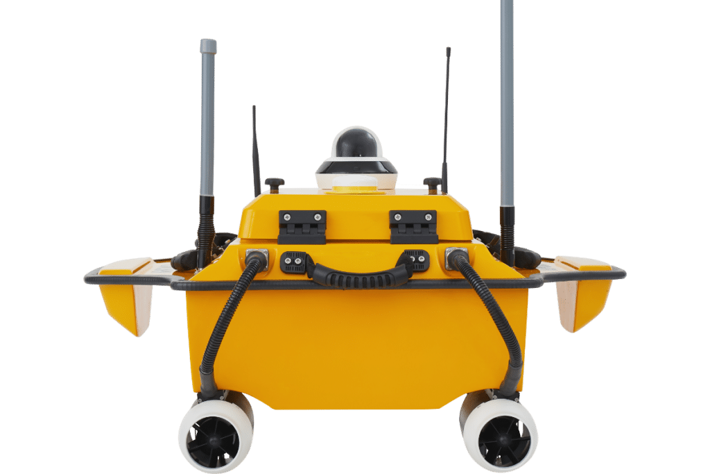
APACHE 4 provides a stable position and heading to the ADCP and autopilot. Its IMU sensor ensures the availability of position data even during momentary GNSS signal loss. The obstacle avoidance radar system and live video feed ensure safe operations in case of loss of visibility or difficult environmental conditions. Completely autonomous, the APACHE 4 is safely operated from the shore. The AutoPlanner and HydroSurvey software suite allows the operator to define the entire mission, from the survey area to the export of the results.

The Apache 4 is designed for bathymetric and hydrographic surveys in lakes, rivers, and coastal areas, including shallow and challenging environments.
The integrated GNSS+IMU system and advanced navigation controller maintain precise positioning and stability, even in turbulent flow conditions.
Yes, the lightweight (13 kg) design allows a single operator to manage the USV, ensuring versatility and ease of use.
The Apache 4 is constructed with macromolecule polyester carbon fiber for durability and waterproofing.