


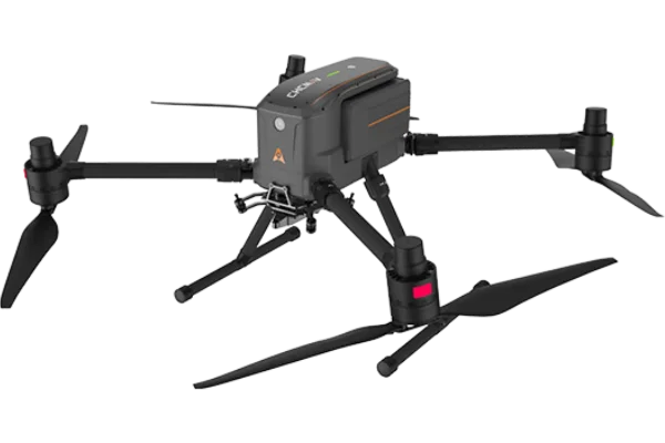

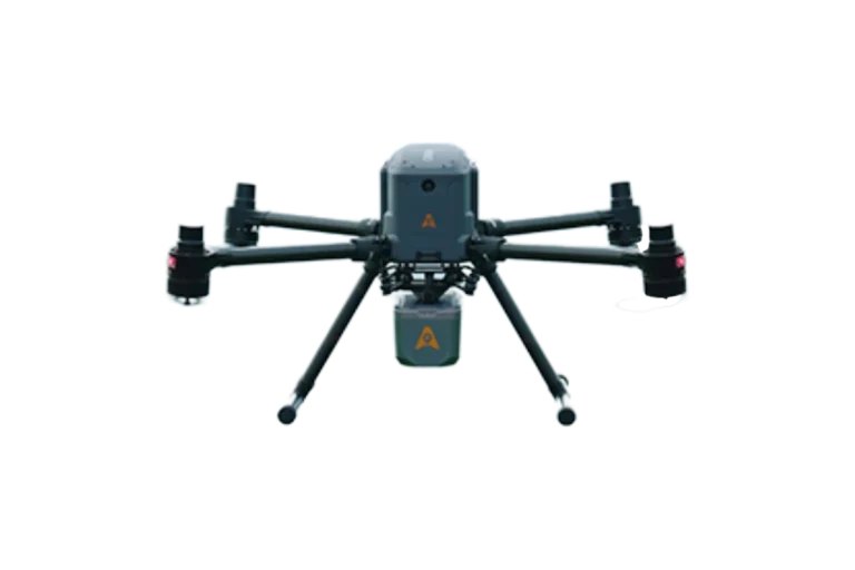
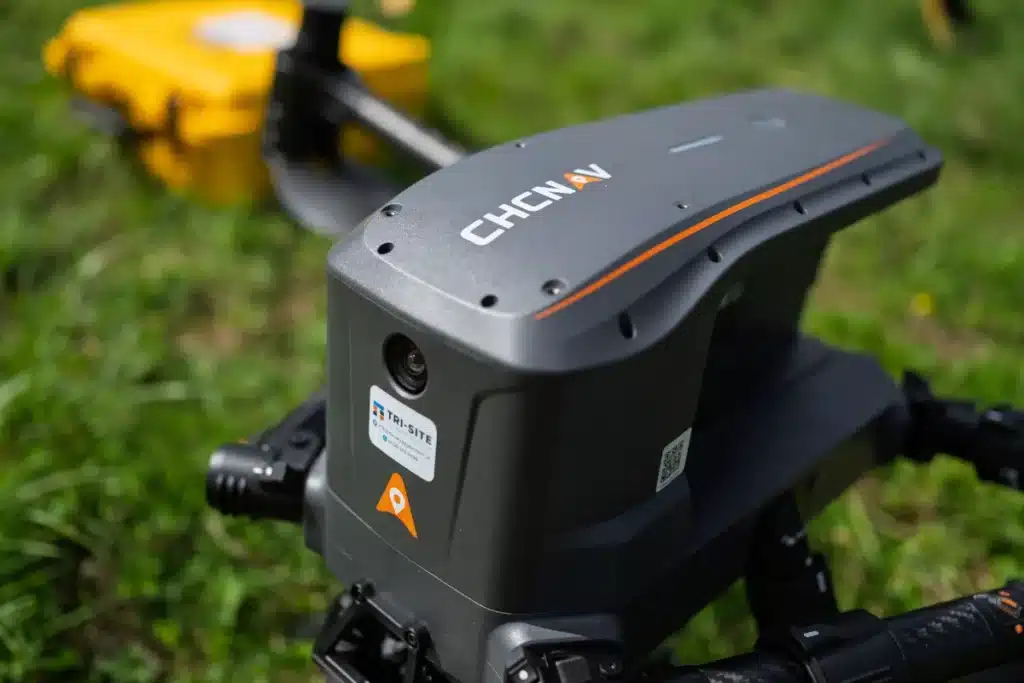
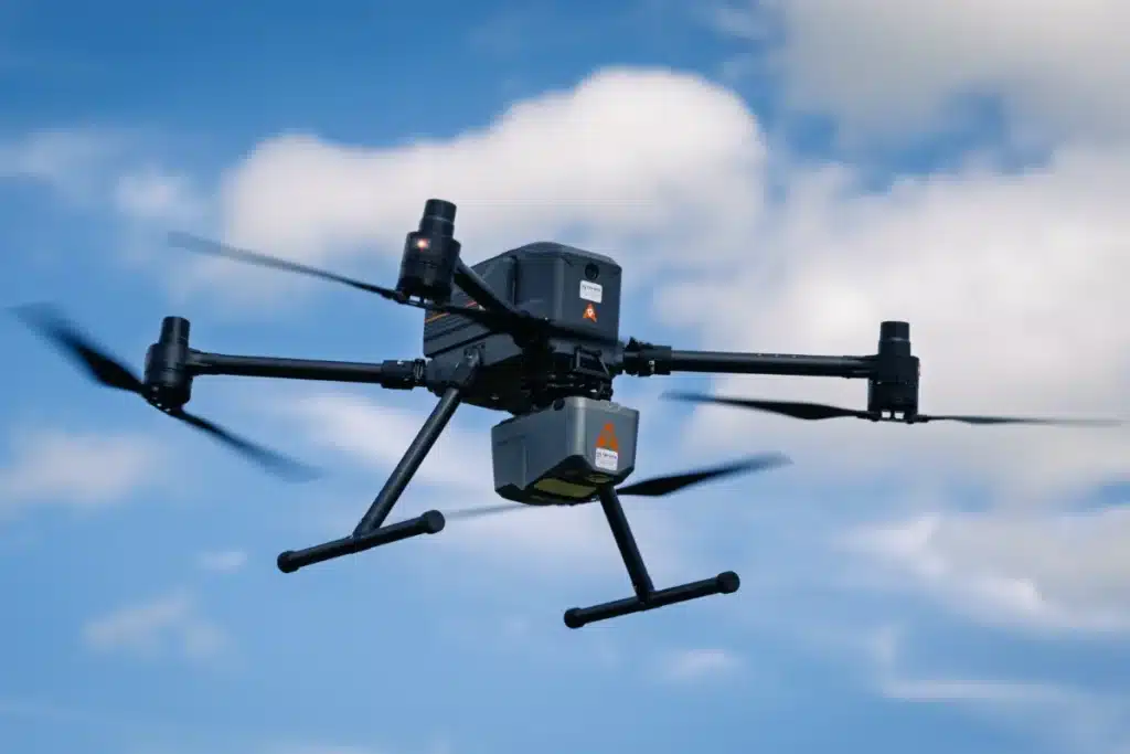
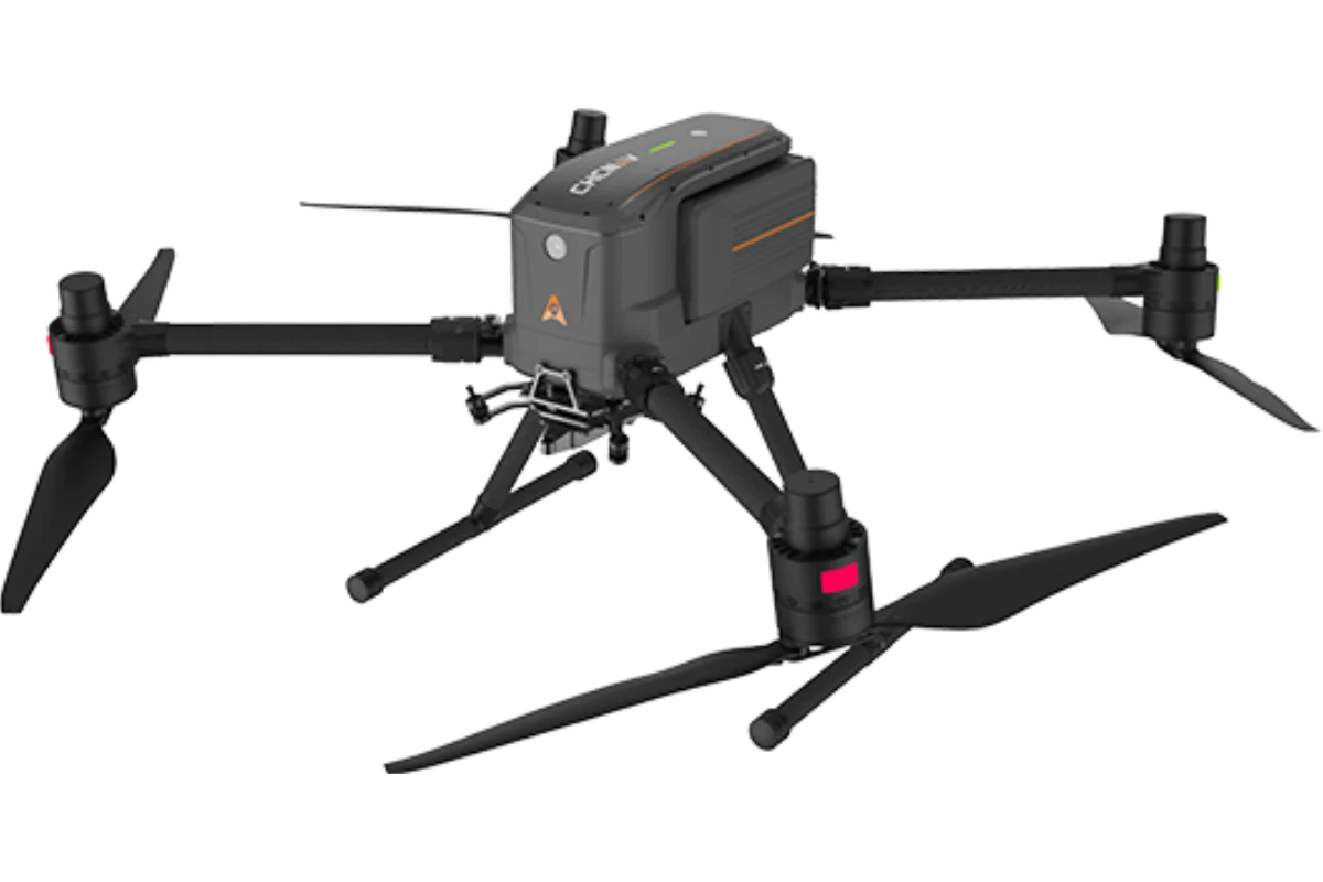
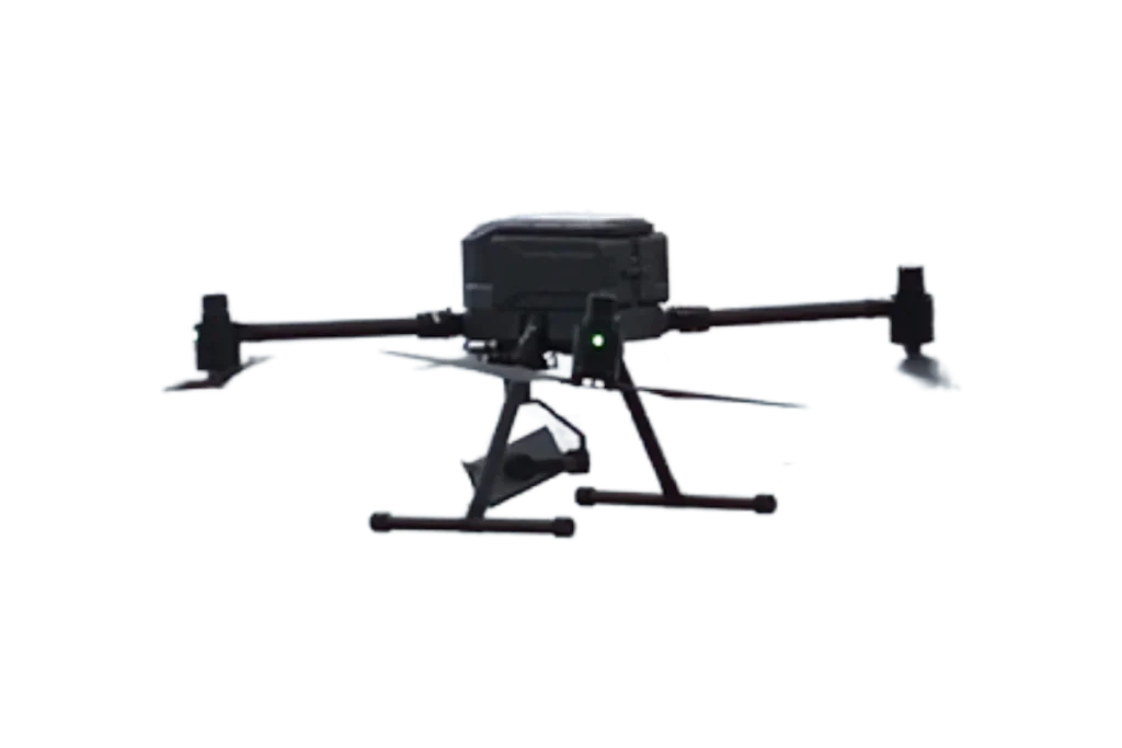
CHCNAV X500
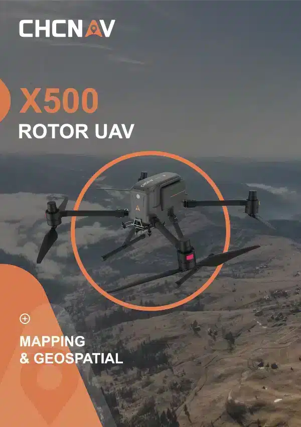
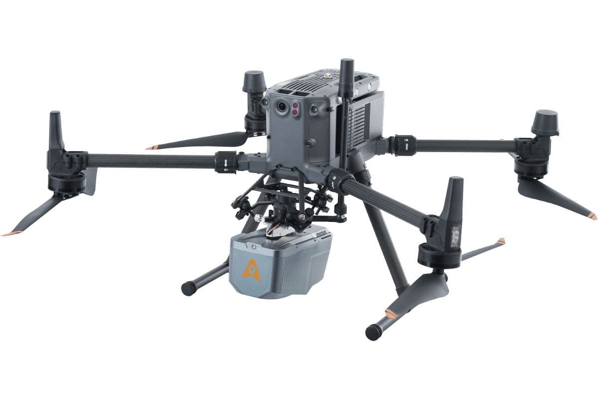
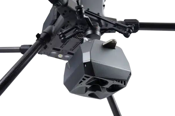
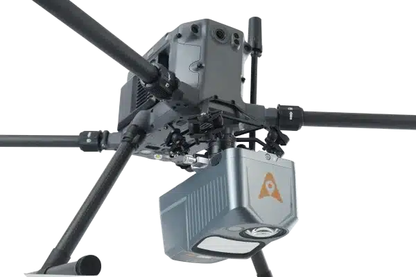
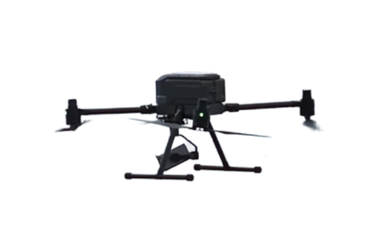
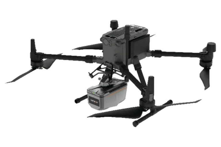
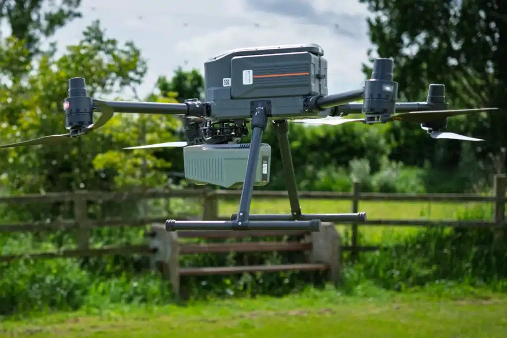
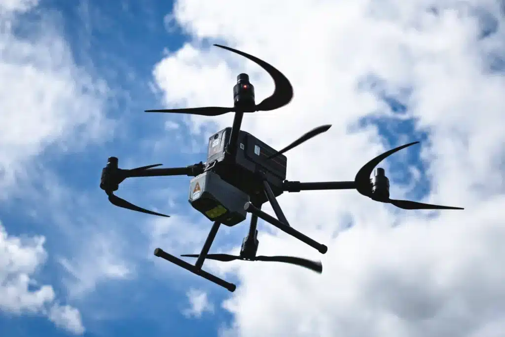
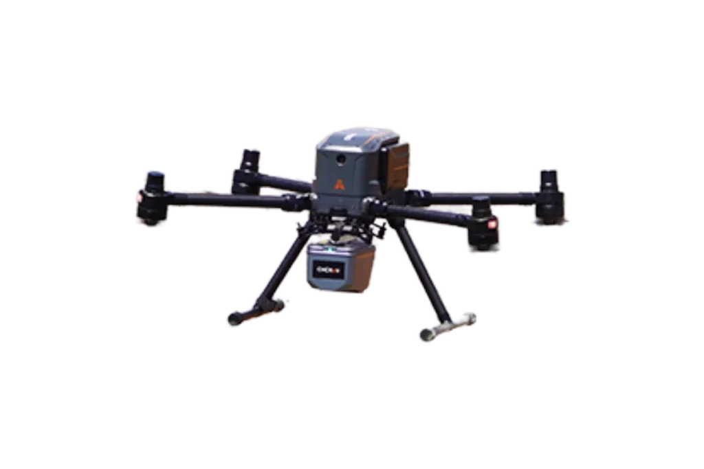
The CHCNAV X500 rotor UAV is a professional drone engineered for exceptional payload capacity and endurance. Equipped with advanced flight controls and high-precision positioning, it delivers superior maneuverability, stability, and flight performance. Its built-in visual SLAM and obstacle detection radar ensure intelligent, safe operations. Compatible with CHCNAV sensors and third-party payloads, the X500 is ideal for applications such as surveying, urban surveillance, emergency scouting, disaster relief, and inspection missions.


UAV Products
High Performance
UAV Systems
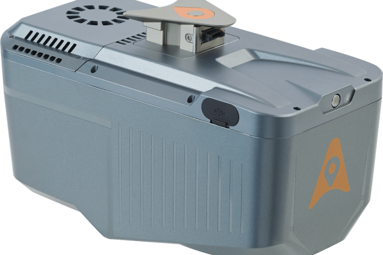
The X500 supports a 5 kg payload capacity and offers a flight endurance of 58 minutes, or up to 50 minutes when equipped with the CHCNAV AA10 LiDAR. Its IP55 rating and 12 m/s wind resistance enable reliable performance in challenging environments.
Optimal Flight Safety
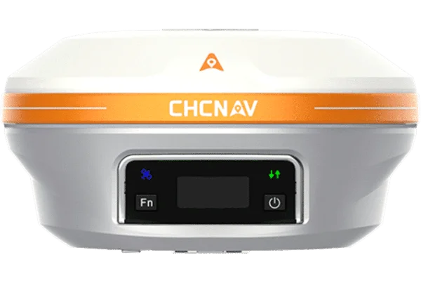
The X500 features robust redundancy with dual GNSS, triple IMU backups, dual-redundant flight control, and safe return strategies. Its millimeter-wave radar ensures precise obstacle detection and avoidance, including trees, buildings, and towers. The V-SLAM visual positioning system enables landings on moving vehicles and vessels.
Efficient Energy System
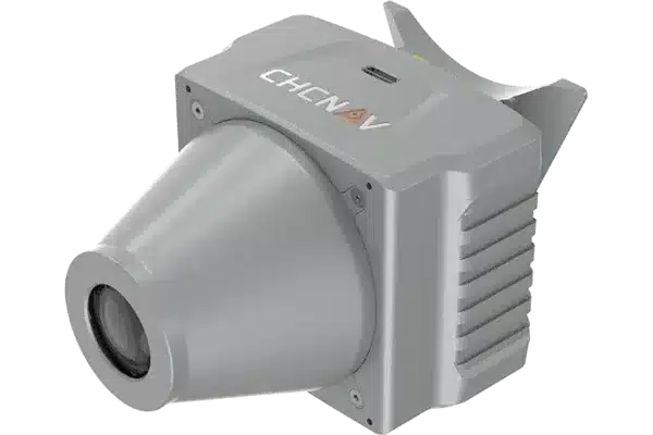
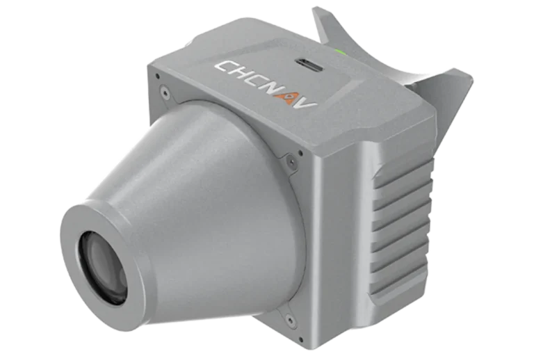
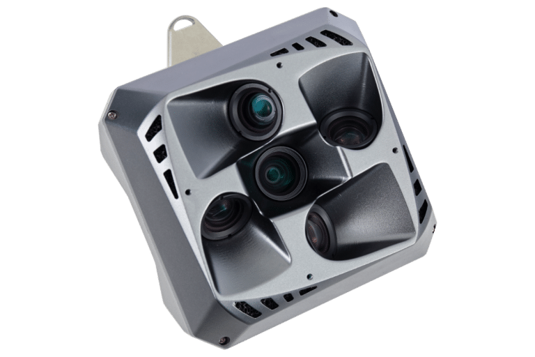
Versatile Payload Options
The X500 supports up to 3 concurrent payloads and is compatible with CHCNAV LiDARs and cameras. Its open SDK interface facilitates integration with third-party devices, enabling customization for specific mission requirements. Built on the universal Mavlink protocol, it ensures adaptability to multiple applications.
CHC Navigation offers tailored training programs, available online or on-site, covering theoretical instruction, field practice flights, operational precautions, and maintenance guidance.
Drone operators must comply with regional regulations, which may include certifications, flight permissions, and specific operational restrictions.
The X500 features an IP55 protection rating to provide resistance to dust and limited water exposure. However, protection may degrade with prolonged use. Flying in rain exceeding 100 mm within 24 hours is not recommended.
Yes, the X500 supports PPK trajectory post-processing when equipped with a single camera payload, recording GNSS observation data for post-processing.